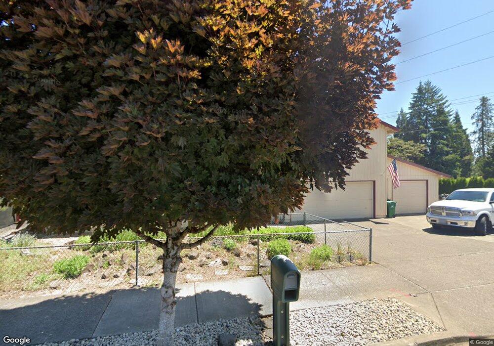
1605 Poplar St Forest Grove, OR 97116
Estimated Value: $504,000 - $578,082
4
Beds
2
Baths
1,904
Sq Ft
$278/Sq Ft
Est. Value
About This Home
This home is located at 1605 Poplar St, Forest Grove, OR 97116 and is currently estimated at $529,521, approximately $278 per square foot. 1605 Poplar St is a home located in Washington County with nearby schools including Fern Hill Elementary School, Neil Armstrong Middle School, and Tom McCall Upper Elementary School.
Ownership History
Date
Name
Owned For
Owner Type
Purchase Details
Closed on
Sep 2, 2004
Sold by
Keene Vila Jean
Bought by
Sullivan Bruce and Sullivan Deborah
Current Estimated Value
Home Financials for this Owner
Home Financials are based on the most recent Mortgage that was taken out on this home.
Original Mortgage
$200,500
Outstanding Balance
$98,193
Interest Rate
5.92%
Mortgage Type
Unknown
Estimated Equity
$431,328
Create a Home Valuation Report for This Property
The Home Valuation Report is an in-depth analysis detailing your home's value as well as a comparison with similar homes in the area
Home Values in the Area
Average Home Value in this Area
Purchase History
| Date | Buyer | Sale Price | Title Company |
|---|---|---|---|
| Sullivan Bruce | $200,500 | Stewart |
Source: Public Records
Mortgage History
| Date | Status | Borrower | Loan Amount |
|---|---|---|---|
| Open | Sullivan Bruce | $200,500 |
Source: Public Records
Tax History Compared to Growth
Tax History
| Year | Tax Paid | Tax Assessment Tax Assessment Total Assessment is a certain percentage of the fair market value that is determined by local assessors to be the total taxable value of land and additions on the property. | Land | Improvement |
|---|---|---|---|---|
| 2026 | $5,166 | $290,130 | -- | -- |
| 2025 | $5,166 | $281,680 | -- | -- |
| 2024 | $4,984 | $273,480 | -- | -- |
| 2023 | $4,984 | $265,520 | $0 | $0 |
| 2022 | $4,358 | $265,520 | $0 | $0 |
| 2021 | $4,302 | $250,290 | $0 | $0 |
| 2020 | $4,279 | $243,000 | $0 | $0 |
| 2019 | $4,183 | $235,930 | $0 | $0 |
| 2018 | $4,055 | $229,060 | $0 | $0 |
| 2017 | $3,930 | $222,390 | $0 | $0 |
| 2016 | $3,819 | $215,920 | $0 | $0 |
| 2015 | $3,672 | $209,640 | $0 | $0 |
| 2014 | $3,655 | $203,540 | $0 | $0 |
Source: Public Records
Map
Nearby Homes
- 3404 19th Ave Unit 103
- 3404 19th Ave Unit 215
- 3213 Maple Place
- 3128 Brittany Dr
- 1835 Tamarack Ct
- 2902 19th Ave
- 2824 19th Ave
- 2815 18th Ave
- 2743 15th Place
- 0 Crescent Dr
- 3831 Pacific Ave Unit D5
- 3831 Pacific Ave Unit D2
- 1506 Pioneer Cir
- 1402 Pioneer Way
- 1504 Frontier Cir
- 4303 Settlers Loop
- 1118 Hampton Ct
- 0 Kingwood St
- 1822 Hawthorne St
- 1119 Hawthorne St