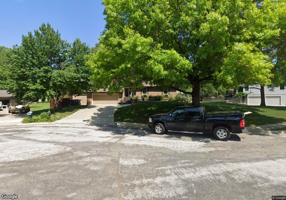
1607 Cypress Point Dr Lawrence, KS 66047
Estimated Value: $449,000 - $518,000
4
Beds
3
Baths
3,089
Sq Ft
$154/Sq Ft
Est. Value
About This Home
This home is located at 1607 Cypress Point Dr, Lawrence, KS 66047 and is currently estimated at $476,495, approximately $154 per square foot. 1607 Cypress Point Dr is a home located in Douglas County with nearby schools including Hillcrest Elementary School, Southwest Middle School, and Lawrence High School.
Ownership History
Date
Name
Owned For
Owner Type
Purchase Details
Closed on
Jun 3, 2014
Sold by
Sears Emily and Estate Of David E Sears
Bought by
Rogier Gordon and Rogier Anita L
Current Estimated Value
Home Financials for this Owner
Home Financials are based on the most recent Mortgage that was taken out on this home.
Original Mortgage
$171,920
Outstanding Balance
$131,500
Interest Rate
4.35%
Mortgage Type
New Conventional
Estimated Equity
$344,995
Purchase Details
Closed on
Feb 25, 2004
Sold by
Harrell G Michael and Harrell Colleen R
Bought by
Sears David E
Home Financials for this Owner
Home Financials are based on the most recent Mortgage that was taken out on this home.
Original Mortgage
$203,200
Interest Rate
5.67%
Mortgage Type
Purchase Money Mortgage
Create a Home Valuation Report for This Property
The Home Valuation Report is an in-depth analysis detailing your home's value as well as a comparison with similar homes in the area
Home Values in the Area
Average Home Value in this Area
Purchase History
| Date | Buyer | Sale Price | Title Company |
|---|---|---|---|
| Rogier Gordon | $214,900 | Capital Title Insurance Co | |
| Sears David E | -- | Commerce Title |
Source: Public Records
Mortgage History
| Date | Status | Borrower | Loan Amount |
|---|---|---|---|
| Open | Rogier Gordon | $171,920 | |
| Closed | Sears David E | $203,200 |
Source: Public Records
Tax History Compared to Growth
Tax History
| Year | Tax Paid | Tax Assessment Tax Assessment Total Assessment is a certain percentage of the fair market value that is determined by local assessors to be the total taxable value of land and additions on the property. | Land | Improvement |
|---|---|---|---|---|
| 2025 | $6,388 | $51,164 | $7,475 | $43,689 |
| 2024 | $6,199 | $49,657 | $7,475 | $42,182 |
| 2023 | $6,023 | $46,667 | $7,475 | $39,192 |
| 2022 | $5,447 | $41,964 | $7,475 | $34,489 |
| 2021 | $5,096 | $38,076 | $6,334 | $31,742 |
| 2020 | $4,868 | $36,570 | $6,334 | $30,236 |
| 2019 | $4,739 | $35,650 | $6,334 | $29,316 |
| 2018 | $4,697 | $35,075 | $6,334 | $28,741 |
| 2017 | $4,576 | $33,798 | $6,334 | $27,464 |
| 2016 | $4,110 | $31,729 | $5,173 | $26,556 |
| 2015 | $3,979 | $30,728 | $5,173 | $25,555 |
| 2014 | $3,932 | $30,659 | $5,173 | $25,486 |
Source: Public Records
Map
Nearby Homes
- 1840 Quail Creek Dr
- 3700 Quail Creek Ct
- 1507 Medinah Cir
- 1908 Crossgate Dr
- 2018 Crossgate Dr
- 2139 Quail Creek Dr
- 1432 Stone Meadows Dr
- 1168 Parkside Cir
- 1215 Hacienda Ln
- 1439 Applegate Ct
- 1406 Brighton Cir Unit B
- 4206 Nicklaus Dr
- 1304 Lawrence Ave
- 4215 Wimbledon Dr
- 2100 Inverness Dr
- 1204 Chadwick Ct
- 3600 Parkview Ct
- 1113 Somerset Cir
- 2901 University Dr
- 2901 University Dr Unit A, B, C, D, E, F
- 1603 Cypress Point Dr
- 1611 Cypress Point Dr
- 1536 Alvamar Dr
- 1540 Alvamar Dr
- 1544 Alvamar Dr
- 1615 Cypress Point Dr
- 1532 Alvamar Dr
- 1614 Cypress Point Dr
- 1618 Cypress Point Dr
- 1610 Cypress Point Dr
- 1548 Alvamar Dr
- 1552 Alvamar Dr
- 1606 Cypress Point Dr
- 1556 Alvamar Dr
- 1617 Alvamar Dr
- 1621 Alvamar Dr
- 1541 Alvamar Dr
- 1613 Alvamar Dr
- 1545 Alvamar Dr
- 1549 Alvamar Ct