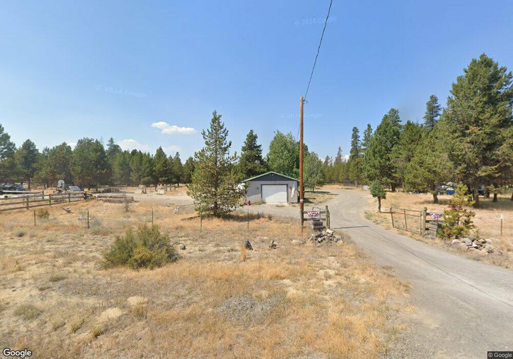
16080 Pierce Rd La Pine, OR 97739
La Pine AreaEstimated Value: $362,000 - $495,000
About This Home
This home is located at 16080 Pierce Rd, La Pine, OR 97739 and is currently estimated at $417,847, approximately $389 per square foot. 16080 Pierce Rd is a home located in Deschutes County with nearby schools including La Pine Elementary School, La Pine Middle School, and La Pine Senior High School.
Ownership History
We collect this data history from publicly available records. To have your information removed, we recommend requesting removal directly through your county’s website.
Purchase Details
Purchase Details
Purchase Details
Purchase Details
Home Financials for this Owner
Home Financials are based on the most recent Mortgage that was taken out on this home.Purchase Details
Home Financials for this Owner
Home Financials are based on the most recent Mortgage that was taken out on this home.Purchase Details
Home Financials for this Owner
Home Financials are based on the most recent Mortgage that was taken out on this home.Purchase Details
Purchase Details
Purchase Details
Home Values in the Area
Average Home Value in this Area
Purchase History
We collect this data history from publicly available records. To have your information removed, we recommend requesting removal directly through your county’s website.
| Date | Buyer | Sale Price | Title Company |
|---|---|---|---|
| -- | None Listed On Document | ||
| -- | None Listed On Document | ||
| -- | None Available | ||
| -- | Amerititle | ||
| $135,000 | Amerititle | ||
| $90,000 | Western Title & Escrow Co | ||
| $74,900 | Amerititle | ||
| $187,797 | Accommodation | ||
| $187,797 | Accommodation |
Mortgage History
We collect this data history from publicly available records. To have your information removed, we recommend requesting removal directly through your county’s website.
| Date | Status | Borrower | Loan Amount |
|---|---|---|---|
| Open | $285,000 | ||
| Previous Owner | $137,902 | ||
| Previous Owner | $88,000 |
Tax History
We collect this data history from publicly available records. To have your information removed, we recommend requesting removal directly through your county’s website.
| Year | Tax Paid | Tax Assessment Tax Assessment Total Assessment is a certain percentage of the fair market value that is determined by local assessors to be the total taxable value of land and additions on the property. | Land | Improvement |
|---|---|---|---|---|
| 2025 | $2,852 | $172,680 | ||
| 2024 | $2,734 | $167,660 | ||
| 2023 | $2,674 | $162,780 | $0 | $0 |
| 2022 | $2,376 | $153,440 | $0 | $0 |
| 2021 | $2,392 | $148,980 | $0 | $0 |
| 2020 | $2,266 | $148,980 | $0 | $0 |
| 2019 | $2,204 | $144,650 | $0 | $0 |
| 2018 | $2,142 | $140,440 | $0 | $0 |
| 2017 | $2,087 | $136,350 | $0 | $0 |
| 2016 | $1,989 | $132,380 | $0 | $0 |
| 2015 | $1,935 | $128,530 | $0 | $0 |
| 2014 | $1,875 | $124,790 | $0 | $0 |
Map
- 51445 Ash Rd
- 51448 Cedar Rd
- 15934 Fir Rd
- 51473 Hemlock Rd
- 51599 Ash Rd
- 51432 Jory Rd
- 51453 Jory Rd
- 15730 Jackpine Rd
- 15603 6th St
- 51375 Al-Jean Rd
- 51439 Morson St
- 51451 Morson St
- 51443 Morson St
- 15638 Sherrie Way
- 15638 Sherrie Way
- 51498 Morson St
- 51555 Morson St
- 51490 Morson St
- 51494 Morson St
- 51343 Mitchell Rd
Ask me questions while you tour the home.