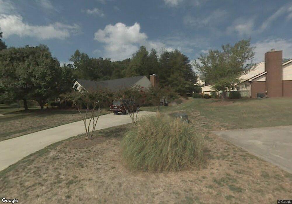
1609 Ternberry Rd High Point, NC 27262
Greater High Point NeighborhoodEstimated Value: $196,000 - $246,000
2
Beds
2
Baths
1,138
Sq Ft
$192/Sq Ft
Est. Value
About This Home
This home is located at 1609 Ternberry Rd, High Point, NC 27262 and is currently estimated at $218,073, approximately $191 per square foot. 1609 Ternberry Rd is a home located in Guilford County with nearby schools including Northwood Elementary School, Ferndale Middle School, and High Point Central High School.
Ownership History
Date
Name
Owned For
Owner Type
Purchase Details
Closed on
Feb 24, 2022
Sold by
Ragno Jr James R and Ragno Toni J
Bought by
Shores Julian J
Current Estimated Value
Home Financials for this Owner
Home Financials are based on the most recent Mortgage that was taken out on this home.
Original Mortgage
$144,000
Outstanding Balance
$132,645
Interest Rate
2.75%
Mortgage Type
New Conventional
Estimated Equity
$85,428
Purchase Details
Closed on
Mar 23, 2006
Sold by
Gadd Shipwash Donald and Gadd Shipwash Julie C
Bought by
Ragno James R and Ragno Toni J
Home Financials for this Owner
Home Financials are based on the most recent Mortgage that was taken out on this home.
Original Mortgage
$65,000
Interest Rate
6.19%
Mortgage Type
Fannie Mae Freddie Mac
Purchase Details
Closed on
Feb 21, 2001
Sold by
Gentry Janice L Fletcher and Gentry Buddy C
Bought by
Gadd Julie C
Create a Home Valuation Report for This Property
The Home Valuation Report is an in-depth analysis detailing your home's value as well as a comparison with similar homes in the area
Home Values in the Area
Average Home Value in this Area
Purchase History
| Date | Buyer | Sale Price | Title Company |
|---|---|---|---|
| Shores Julian J | $180,000 | None Listed On Document | |
| Ragno James R | $119,000 | None Available | |
| Gadd Julie C | $107,000 | -- |
Source: Public Records
Mortgage History
| Date | Status | Borrower | Loan Amount |
|---|---|---|---|
| Open | Shores Julian J | $144,000 | |
| Previous Owner | Ragno James R | $65,000 |
Source: Public Records
Tax History Compared to Growth
Tax History
| Year | Tax Paid | Tax Assessment Tax Assessment Total Assessment is a certain percentage of the fair market value that is determined by local assessors to be the total taxable value of land and additions on the property. | Land | Improvement |
|---|---|---|---|---|
| 2025 | $2,022 | $146,700 | $34,000 | $112,700 |
| 2024 | $2,022 | $146,700 | $34,000 | $112,700 |
| 2023 | $2,022 | $146,700 | $34,000 | $112,700 |
| 2022 | $1,750 | $129,800 | $34,000 | $95,800 |
| 2021 | $1,330 | $96,500 | $21,000 | $75,500 |
| 2020 | $1,330 | $96,500 | $21,000 | $75,500 |
| 2019 | $1,330 | $96,500 | $0 | $0 |
| 2018 | $0 | $96,500 | $0 | $0 |
| 2017 | $1,323 | $96,500 | $0 | $0 |
| 2016 | $1,468 | $104,700 | $0 | $0 |
| 2015 | $1,476 | $104,700 | $0 | $0 |
| 2014 | $1,501 | $104,700 | $0 | $0 |
Source: Public Records
Map
Nearby Homes
- 1001 Nuthatch Ct
- 914 Flicker Ln
- 921 Flicker Ln
- 501 Westchester Dr
- 508 Fisher Ave
- 605 Westchester Dr
- 413 Greenwood Dr
- 708 Rockspring Rd
- 506 Greenwood Dr
- 510 Greenwood Dr
- 1204 Ascot Ct
- 1509 Heathcliff Rd
- 1508 Wendover Dr
- 504 W Lexington Ave
- 2630 Ingleside Dr Unit 2D
- 2235 Shadow Valley Rd Unit E
- 416 W Lexington Ave
- 1101 Robin Hood Rd
- 337 Rockspring Rd
- 335 Rockspring Rd
- 1607 Ternberry Rd
- 1605 Ternberry Rd
- 1603 Ternberry Rd
- 1611 Ternberry Rd
- 1601 Ternberry Rd
- 1613 Ternberry Rd
- 1615 Ternberry Rd
- 1620 Ternberry Rd
- 1614 Ternberry Rd
- 1616 Ternberry Rd
- 1612 Ternberry Rd
- 1610 Ternberry Rd
- 1703 Ternberry Rd
- 1618 Ternberry Rd
- 1608 Ternberry Rd
- 1606 Ternberry Rd
- 1705 Ternberry Rd
- 1701 Ternberry Rd
- 1604 Ternberry Rd
- 1602 Ternberry Rd