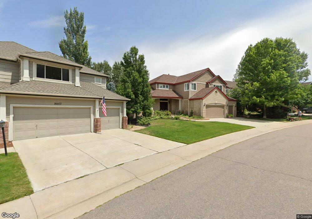
16097 Whitestone Dr Parker, CO 80134
Stonegate NeighborhoodEstimated Value: $739,000 - $842,000
4
Beds
4
Baths
2,988
Sq Ft
$260/Sq Ft
Est. Value
About This Home
This home is located at 16097 Whitestone Dr, Parker, CO 80134 and is currently estimated at $776,720, approximately $259 per square foot. 16097 Whitestone Dr is a home located in Douglas County with nearby schools including Pine Grove Elementary School, Sierra Middle School, and Chaparral High School.
Ownership History
Date
Name
Owned For
Owner Type
Purchase Details
Closed on
Apr 21, 2018
Sold by
Carl V Lyday 2005 Revocable Trust
Bought by
Lyday Family Trust
Current Estimated Value
Purchase Details
Closed on
Nov 1, 2012
Sold by
Lyday Carl L and Lyday Susan J
Bought by
The Carl V Lyday 2005 Revocable Trust Ag
Purchase Details
Closed on
May 9, 1994
Sold by
Falcon Partnership Ltd
Bought by
Lyday Carl V and Lyday Susan J
Home Financials for this Owner
Home Financials are based on the most recent Mortgage that was taken out on this home.
Original Mortgage
$236,800
Interest Rate
3.6%
Purchase Details
Closed on
Aug 26, 1993
Sold by
Stonegate Dev Inc
Bought by
Falcon Partnership Ltd
Create a Home Valuation Report for This Property
The Home Valuation Report is an in-depth analysis detailing your home's value as well as a comparison with similar homes in the area
Home Values in the Area
Average Home Value in this Area
Purchase History
| Date | Buyer | Sale Price | Title Company |
|---|---|---|---|
| Lyday Family Trust | -- | None Available | |
| The Carl V Lyday 2005 Revocable Trust Ag | -- | None Available | |
| Lyday Carl V | $296,057 | Land Title | |
| Falcon Partnership Ltd | -- | -- |
Source: Public Records
Mortgage History
| Date | Status | Borrower | Loan Amount |
|---|---|---|---|
| Closed | Lyday Carl V | $236,800 |
Source: Public Records
Tax History Compared to Growth
Tax History
| Year | Tax Paid | Tax Assessment Tax Assessment Total Assessment is a certain percentage of the fair market value that is determined by local assessors to be the total taxable value of land and additions on the property. | Land | Improvement |
|---|---|---|---|---|
| 2024 | $4,891 | $56,050 | $9,820 | $46,230 |
| 2023 | $4,933 | $56,050 | $9,820 | $46,230 |
| 2022 | $3,521 | $38,850 | $6,660 | $32,190 |
| 2021 | $3,622 | $38,850 | $6,660 | $32,190 |
| 2020 | $4,358 | $39,360 | $7,860 | $31,500 |
| 2019 | $4,252 | $39,360 | $7,860 | $31,500 |
| 2018 | $3,755 | $34,290 | $7,090 | $27,200 |
| 2017 | $3,542 | $34,290 | $7,090 | $27,200 |
| 2016 | $3,463 | $33,000 | $6,410 | $26,590 |
| 2015 | $1,765 | $33,000 | $6,410 | $26,590 |
| 2014 | $1,714 | $28,900 | $6,220 | $22,680 |
Source: Public Records
Map
Nearby Homes
- 10553 Stonemeadow Dr
- 15565 Flowerhill Cir
- 10312 Stoneflower Dr
- 10676 Cottoneaster Way
- 16116 Martingale Dr
- 10818 Mcclellan Rd
- 10828 Snowdon St
- 10834 Snowdon St
- 16642 Autumn Rock Cove
- 16641 Martingale Dr
- 10832 Tundra Top Dr
- 16056 Quarry Hill Dr
- 10251 Hedge Ln
- 10414 Stonewillow Dr
- 10849 Tundra Top Dr
- 10530 Winterflower Way
- 10311 Mica Way
- 16382 Maple Rock Ct
- 16341 Maple Rock Ct
- 10873 Tundra Top Dr
- 16117 Whitestone Dr
- 16077 Whitestone Dr
- 16137 Whitestone Dr
- 16057 Whitestone Dr
- 16118 Whitestone Dr
- 16081 Hollyridge Dr
- 16138 Whitestone Dr
- 16061 Hollyridge Dr
- 16037 Whitestone Dr
- 16233 Creekview Dr
- 16101 Hollyridge Dr
- 16121 Hollyridge Dr
- 16243 Creekview Dr
- 16017 Whitestone Dr
- 16141 Hollyridge Dr
- 16022 Hollyridge Dr
- 16178 Whitestone Dr
- 10566 Newlin Ct
- 16263 Creekview Dr
- 16161 Hollyridge Dr