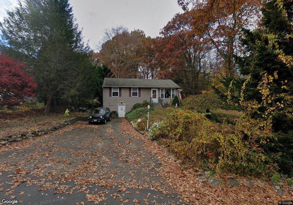
161 Andrews Rd Wolcott, CT 06716
Estimated Value: $262,000 - $312,178
3
Beds
1
Bath
912
Sq Ft
$316/Sq Ft
Est. Value
About This Home
This home is located at 161 Andrews Rd, Wolcott, CT 06716 and is currently estimated at $288,545, approximately $316 per square foot. 161 Andrews Rd is a home located in New Haven County with nearby schools including Tyrrell Middle School and Wolcott High School.
Ownership History
Date
Name
Owned For
Owner Type
Purchase Details
Closed on
Dec 13, 1996
Sold by
Donorfio Carmelina
Bought by
Donorfio Gerald and Donorfio Constance
Current Estimated Value
Home Financials for this Owner
Home Financials are based on the most recent Mortgage that was taken out on this home.
Original Mortgage
$72,500
Outstanding Balance
$12,303
Interest Rate
7.75%
Mortgage Type
Unknown
Estimated Equity
$276,242
Create a Home Valuation Report for This Property
The Home Valuation Report is an in-depth analysis detailing your home's value as well as a comparison with similar homes in the area
Home Values in the Area
Average Home Value in this Area
Purchase History
| Date | Buyer | Sale Price | Title Company |
|---|---|---|---|
| Donorfio Gerald | $30,000 | -- |
Source: Public Records
Mortgage History
| Date | Status | Borrower | Loan Amount |
|---|---|---|---|
| Open | Donorfio Gerald | $7,348 | |
| Open | Donorfio Gerald | $24,720 | |
| Open | Donorfio Gerald | $72,500 | |
| Previous Owner | Donorfio Gerald | $25,000 |
Source: Public Records
Tax History Compared to Growth
Tax History
| Year | Tax Paid | Tax Assessment Tax Assessment Total Assessment is a certain percentage of the fair market value that is determined by local assessors to be the total taxable value of land and additions on the property. | Land | Improvement |
|---|---|---|---|---|
| 2025 | $4,435 | $123,440 | $40,740 | $82,700 |
| 2024 | $4,082 | $123,440 | $40,740 | $82,700 |
| 2023 | $3,934 | $123,440 | $40,740 | $82,700 |
| 2022 | $3,802 | $123,440 | $40,740 | $82,700 |
| 2021 | $3,483 | $105,100 | $38,640 | $66,460 |
| 2020 | $3,483 | $105,100 | $38,640 | $66,460 |
| 2019 | $3,483 | $105,100 | $38,640 | $66,460 |
| 2018 | $3,384 | $105,100 | $38,640 | $66,460 |
| 2017 | $3,286 | $105,100 | $38,640 | $66,460 |
| 2016 | $3,273 | $113,220 | $39,340 | $73,880 |
| 2015 | $3,179 | $113,220 | $39,340 | $73,880 |
| 2014 | $3,076 | $113,220 | $39,340 | $73,880 |
Source: Public Records
Map
Nearby Homes
- Lots 70B and 71B Spindle Hill Rd
- 10 Country Garden Ct
- 49 Forestview Dr
- 16 Oakengate Rd
- 79 Kingswood Ln
- 0 Grassy Hill Rd Unit 24070167
- 0 Spindle Hill Rd Unit 24062265
- 701 Bucks Hill Rd
- 353 Allentown Rd
- 11 Ivy Ln
- 72 White Oak Ln
- 65 Meyers Rd
- 22 Pembroke Hill Rd
- 474 Chestnut Hill Ave
- 440 Chestnut Hill Ave
- 866 Wolcott Rd
- 9 Pembroke Hill Rd
- 128 Lyman Rd Unit 24
- 128 Lyman Rd Unit 25
- 123 Chipper Rd