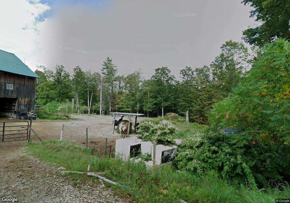
161 Cram Hill Rd Lyndeborough, NH 03082
Estimated Value: $471,041 - $566,000
4
Beds
2
Baths
2,538
Sq Ft
$204/Sq Ft
Est. Value
About This Home
This home is located at 161 Cram Hill Rd, Lyndeborough, NH 03082 and is currently estimated at $517,760, approximately $204 per square foot. 161 Cram Hill Rd is a home located in Hillsborough County with nearby schools including Lyndeborough Central School, Wilton-Lyndeborough Cooperative Middle School, and Wilton-Lyndeborough Cooperative High School.
Ownership History
Date
Name
Owned For
Owner Type
Purchase Details
Closed on
Sep 4, 2009
Sold by
Kleppen Jed A
Bought by
Hadley Robert G and Hadley Kristina R
Current Estimated Value
Home Financials for this Owner
Home Financials are based on the most recent Mortgage that was taken out on this home.
Original Mortgage
$239,451
Outstanding Balance
$156,759
Interest Rate
5.21%
Mortgage Type
Purchase Money Mortgage
Estimated Equity
$361,001
Create a Home Valuation Report for This Property
The Home Valuation Report is an in-depth analysis detailing your home's value as well as a comparison with similar homes in the area
Home Values in the Area
Average Home Value in this Area
Purchase History
| Date | Buyer | Sale Price | Title Company |
|---|---|---|---|
| Hadley Robert G | $239,900 | -- |
Source: Public Records
Mortgage History
| Date | Status | Borrower | Loan Amount |
|---|---|---|---|
| Open | Hadley Robert G | $239,451 | |
| Previous Owner | Hadley Robert G | $165,000 |
Source: Public Records
Tax History Compared to Growth
Tax History
| Year | Tax Paid | Tax Assessment Tax Assessment Total Assessment is a certain percentage of the fair market value that is determined by local assessors to be the total taxable value of land and additions on the property. | Land | Improvement |
|---|---|---|---|---|
| 2024 | $4,788 | $185,155 | $71,055 | $114,100 |
| 2023 | $4,400 | $185,110 | $71,010 | $114,100 |
| 2022 | $4,092 | $185,154 | $71,054 | $114,100 |
| 2021 | $4,095 | $185,294 | $71,194 | $114,100 |
| 2020 | $800 | $185,294 | $71,194 | $114,100 |
| 2019 | $5,028 | $172,550 | $68,050 | $104,500 |
| 2018 | $4,803 | $170,250 | $67,850 | $102,400 |
| 2017 | $4,723 | $170,250 | $67,850 | $102,400 |
| 2016 | $4,723 | $170,250 | $67,850 | $102,400 |
| 2015 | $4,306 | $170,250 | $67,850 | $102,400 |
| 2013 | $4,055 | $168,970 | $67,870 | $101,100 |
Source: Public Records
Map
Nearby Homes
- 24 Glass Factory Rd
- 222 Forest Rd
- A 66 Burton Hwy
- 10 Mill St
- 27 Island St
- 8 Maple St
- 134 Falcon Ridge Rd Unit 23
- 80 Salisbury Rd
- F/88-5 McGettigan Rd
- F/88-4 McGettigan Rd
- 81 Abbot Hill Acres
- 0 Marden Rd
- Lots 4 & 7 Gibbons & Robbins Rd
- 88 McGettigan Rd Unit 88-6-1
- 79 Salisbury Rd
- 59 Goldsmith Rd
- 60 Goldsmith Rd
- F-88-11 Aria Hill Dr
- F-88-12 Aria Hill Dr
- F-88-7 Aria Hill Dr
- 142 Cram Hill Rd
- 135 Cram Hill Rd
- 199 Cram Hill Rd
- 263 Cram Hill Rd
- 75 Cram Hill Rd
- 265 Cram Hill Rd
- 251 Cram Hill Rd
- 55 Cram Hill Rd
- 273 Cram Hill Rd
- 39 Cram Hill Rd
- 126 Cemetery Rd
- 289 Cram Hill Rd
- 310 Cram Hill Rd
- 311 Cram Hill Rd
- 352 Dale St
- 15 Cram Hill Rd
- 7 Vista Dr
- Lot 21-8 Pack View Dr
- 42 Rose Farm Rd
- 415 Dale St