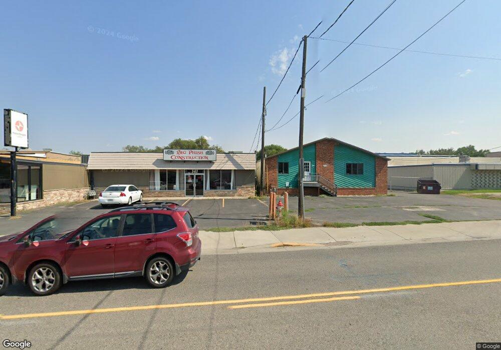
161 Moore Ln Billings, MT 59101
East Central Billings Neighborhood
--
Bed
--
Bath
7,000
Sq Ft
0.5
Acres
About This Home
This home is located at 161 Moore Ln, Billings, MT 59101. 161 Moore Ln is a home located in Yellowstone County with nearby schools including Washington School, Lewis & Clark Junior High School, and Billings West High School.
Ownership History
Date
Name
Owned For
Owner Type
Purchase Details
Closed on
Sep 25, 2018
Sold by
Davidson Devon R and Davidson Kimberly K
Bought by
Hab Dev
Purchase Details
Closed on
Apr 27, 2007
Sold by
Kunz Frances L
Bought by
Davidson Devon R and Davidson Kimberly K
Home Financials for this Owner
Home Financials are based on the most recent Mortgage that was taken out on this home.
Original Mortgage
$296,028
Interest Rate
6.11%
Mortgage Type
Commercial
Create a Home Valuation Report for This Property
The Home Valuation Report is an in-depth analysis detailing your home's value as well as a comparison with similar homes in the area
Home Values in the Area
Average Home Value in this Area
Purchase History
| Date | Buyer | Sale Price | Title Company |
|---|---|---|---|
| Hab Dev | -- | -- | |
| Davidson Devon R | -- | None Available |
Source: Public Records
Mortgage History
| Date | Status | Borrower | Loan Amount |
|---|---|---|---|
| Previous Owner | Davidson Devon R | $296,028 |
Source: Public Records
Tax History Compared to Growth
Tax History
| Year | Tax Paid | Tax Assessment Tax Assessment Total Assessment is a certain percentage of the fair market value that is determined by local assessors to be the total taxable value of land and additions on the property. | Land | Improvement |
|---|---|---|---|---|
| 2025 | $2,014 | $419,778 | $146,088 | $273,690 |
| 2024 | $2,014 | $449,939 | $131,359 | $318,580 |
| 2023 | $2,256 | $449,939 | $131,359 | $318,580 |
| 2022 | $2,197 | $464,284 | $0 | $0 |
| 2021 | $2,192 | $464,284 | $0 | $0 |
| 2020 | $2,167 | $396,400 | $0 | $0 |
| 2019 | $2,150 | $396,400 | $0 | $0 |
| 2018 | $7,492 | $391,800 | $0 | $0 |
| 2017 | $7,312 | $391,800 | $0 | $0 |
| 2016 | $6,970 | $373,100 | $0 | $0 |
| 2015 | $6,844 | $373,100 | $0 | $0 |
| 2014 | $6,480 | $258,579 | $0 | $0 |
Source: Public Records
Map
Nearby Homes
- 226 Moore Ln
- 43 Prickett Ln
- 1132 Saint Johns Ave
- 307 S Billings Blvd Unit 36
- 1205 Lynn Ave
- 1122 Howard Ave
- 947 Howard Ave
- 1120 Miles Ave
- 723 Cook Ave
- 937 Miles Ave
- 925 Miles Ave
- 716 Howard Ave
- 926 Terry Ave
- 618 & 620 Howard Ave
- 1125 Custer Ave
- 702 Terry Ave
- 704 Terry Ave
- 605 Calhoun Ln
- 109 16th St W
- 1342 Custer Ave
- 138 Prickett Ln
- 142 Prickett Ln
- 204 Prickett Ln
- 120 Prickett Ln
- 222 Moore Ln
- 109 Moore Ln
- 130 Prickett Ln
- 126 Prickett Ln
- 226 Moore Ln
- 208 Prickett Ln
- 222 Prickett Ln
- 114 Prickett Ln
- 235 Moore Ln
- 108 Prickett Ln
- 226 Prickett Ln
- 125 Foster Ln
- 227 Foster Ln
- 104 Prickett Ln
- 121 Prickett Ln
- 236 Prickett Ln