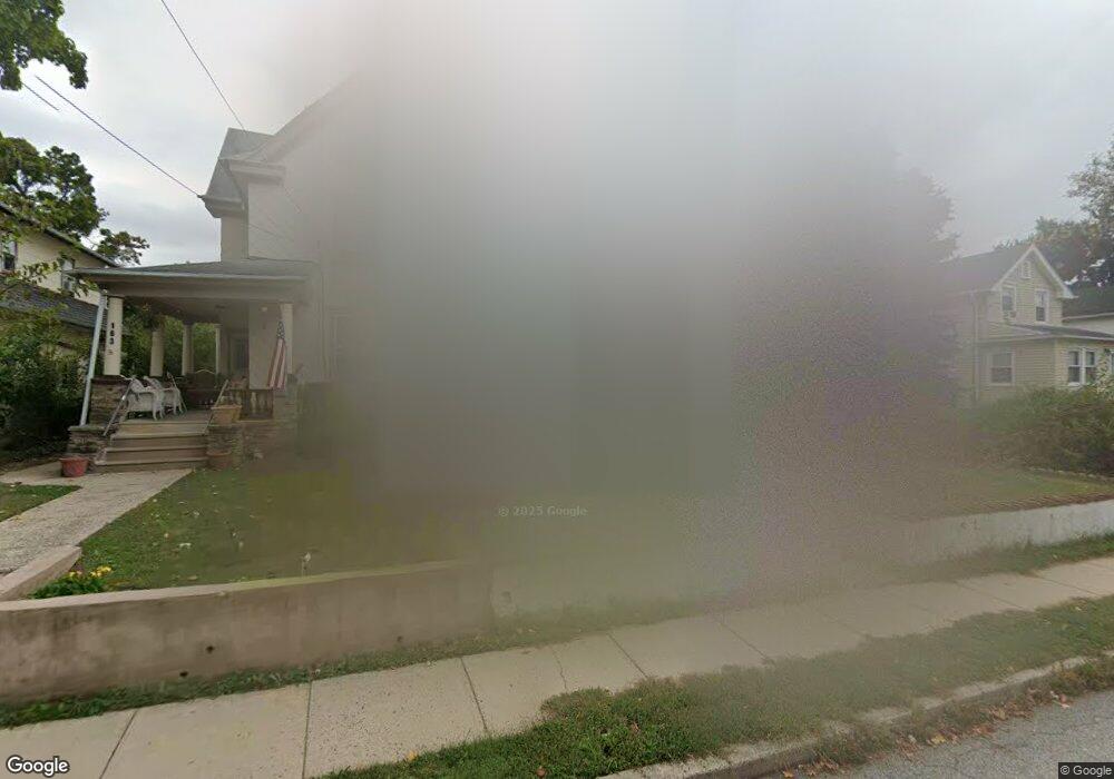
161 N Tyson Ave Glenside, PA 19038
Estimated Value: $341,000 - $399,000
5
Beds
1
Bath
1,541
Sq Ft
$242/Sq Ft
Est. Value
About This Home
This home is located at 161 N Tyson Ave, Glenside, PA 19038 and is currently estimated at $373,193, approximately $242 per square foot. 161 N Tyson Ave is a home located in Montgomery County with nearby schools including Copper Beech Elementary School, Abington Middle School, and Abington Senior High School.
Ownership History
Date
Name
Owned For
Owner Type
Purchase Details
Closed on
Jul 10, 2017
Sold by
Andrew M Kraft
Bought by
Blatt David and Blatt Jean
Current Estimated Value
Home Financials for this Owner
Home Financials are based on the most recent Mortgage that was taken out on this home.
Original Mortgage
$204,232
Outstanding Balance
$170,008
Interest Rate
3.96%
Estimated Equity
$203,185
Purchase Details
Closed on
Feb 19, 2016
Sold by
Mcclay Thomas S and Mcclay Thomas Stewart
Bought by
Kraft Andrew M
Home Financials for this Owner
Home Financials are based on the most recent Mortgage that was taken out on this home.
Original Mortgage
$135,000
Interest Rate
3.81%
Mortgage Type
Construction
Purchase Details
Closed on
Dec 23, 1994
Sold by
Mcclay Kathleen A and Mcclay Donald Bruce
Bought by
Mcclay Thomas S
Create a Home Valuation Report for This Property
The Home Valuation Report is an in-depth analysis detailing your home's value as well as a comparison with similar homes in the area
Home Values in the Area
Average Home Value in this Area
Purchase History
| Date | Buyer | Sale Price | Title Company |
|---|---|---|---|
| Blatt David | $208,000 | -- | |
| Kraft Andrew M | -- | None Available | |
| Mcclay Thomas S | -- | -- |
Source: Public Records
Mortgage History
| Date | Status | Borrower | Loan Amount |
|---|---|---|---|
| Open | Blatt David | $204,232 | |
| Closed | Blatt David | -- | |
| Previous Owner | Kraft Andrew M | $135,000 |
Source: Public Records
Tax History Compared to Growth
Tax History
| Year | Tax Paid | Tax Assessment Tax Assessment Total Assessment is a certain percentage of the fair market value that is determined by local assessors to be the total taxable value of land and additions on the property. | Land | Improvement |
|---|---|---|---|---|
| 2025 | $4,676 | $100,980 | -- | -- |
| 2024 | $4,676 | $100,980 | -- | -- |
| 2023 | $4,481 | $100,980 | $0 | $0 |
| 2022 | $4,338 | $100,980 | $0 | $0 |
| 2021 | $4,104 | $100,980 | $0 | $0 |
| 2020 | $4,045 | $100,980 | $0 | $0 |
| 2019 | $4,045 | $100,980 | $0 | $0 |
| 2018 | $4,045 | $100,980 | $0 | $0 |
| 2017 | $3,926 | $100,980 | $0 | $0 |
| 2016 | $3,886 | $124,410 | $46,080 | $78,330 |
| 2015 | $4,643 | $124,410 | $46,080 | $78,330 |
| 2014 | $4,501 | $124,410 | $46,080 | $78,330 |
Source: Public Records
Map
Nearby Homes
- 307 Roslyn Ave
- 229 Edge Hill Rd
- 308 W Glenside Ave
- 0 Tyson Ave Unit PAMC2112670
- 449 Roslyn Ave
- 2711 Taft Ave
- 119 S Easton Rd
- 20 W Waverly Rd
- 458 Monroe Ave
- 461 Hamel Ave
- 504 Plymouth Rd
- 230 Harrison Ave
- 221 S Easton Rd
- 629 Roberts Ave
- 56 Chelfield Rd
- 441 Cricket Ave
- 642 Monroe Ave
- 222 Ruscombe Ave
- 446 Twickenham Rd
- 722 Maple Ave
- 163 N Tyson Ave
- 155 N Tyson Ave
- 2520 Fairhill Ave
- 151 N Tyson Ave
- 160 Roslyn Ave
- 156 Roslyn Ave
- 164 Roslyn Ave
- 203 N Tyson Ave
- 152 Roslyn Ave
- 160 N Tyson Ave
- 145 N Tyson Ave
- 152 N Tyson Ave
- 205 N Tyson Ave
- 164 N Tyson Ave
- 2503 Fairhill Ave
- 148 N Tyson Ave
- 139 N Tyson Ave
- 207 N Tyson Ave
- 144 N Tyson Ave
- 146 Roslyn Ave