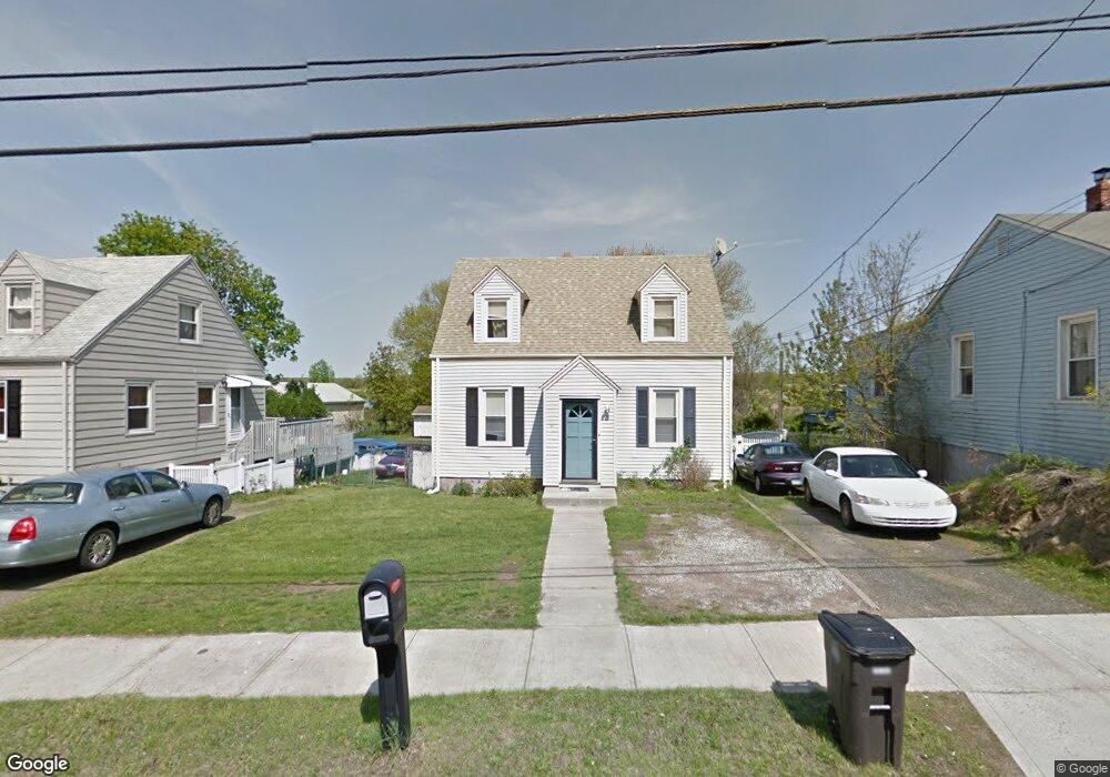
161 S End Rd New Haven, CT 06512
East Shore NeighborhoodEstimated Value: $255,000 - $309,000
2
Beds
6
Baths
1,040
Sq Ft
$265/Sq Ft
Est. Value
About This Home
This home is located at 161 S End Rd, New Haven, CT 06512 and is currently estimated at $275,850, approximately $265 per square foot. 161 S End Rd is a home located in New Haven County with nearby schools including Elm City College Preparatory School and Pathway School.
Ownership History
Date
Name
Owned For
Owner Type
Purchase Details
Closed on
Jun 24, 2011
Sold by
Kaminsky Joan and Kaminsky Ronald J
Bought by
Masud Syed A
Current Estimated Value
Home Financials for this Owner
Home Financials are based on the most recent Mortgage that was taken out on this home.
Original Mortgage
$138,400
Outstanding Balance
$95,946
Interest Rate
4.75%
Mortgage Type
FHA
Estimated Equity
$179,904
Purchase Details
Closed on
Mar 13, 2002
Sold by
Bank One Na Tr
Bought by
Kaminsky Joan and Kaminsky Ronald J
Home Financials for this Owner
Home Financials are based on the most recent Mortgage that was taken out on this home.
Original Mortgage
$96,150
Interest Rate
7.04%
Purchase Details
Closed on
May 23, 2000
Sold by
Hess Joseph C
Bought by
Nicolelli James
Purchase Details
Closed on
Jun 24, 1999
Sold by
Ocwen Fed Bank
Bought by
Hess Joseph C
Create a Home Valuation Report for This Property
The Home Valuation Report is an in-depth analysis detailing your home's value as well as a comparison with similar homes in the area
Home Values in the Area
Average Home Value in this Area
Purchase History
| Date | Buyer | Sale Price | Title Company |
|---|---|---|---|
| Masud Syed A | $142,000 | -- | |
| Kaminsky Joan | $81,500 | -- | |
| Nicolelli James | $11,500 | -- | |
| Hess Joseph C | $64,000 | -- |
Source: Public Records
Mortgage History
| Date | Status | Borrower | Loan Amount |
|---|---|---|---|
| Open | Hess Joseph C | $37,384 | |
| Open | Hess Joseph C | $138,400 | |
| Previous Owner | Hess Joseph C | $75,000 | |
| Previous Owner | Hess Joseph C | $96,150 |
Source: Public Records
Tax History Compared to Growth
Tax History
| Year | Tax Paid | Tax Assessment Tax Assessment Total Assessment is a certain percentage of the fair market value that is determined by local assessors to be the total taxable value of land and additions on the property. | Land | Improvement |
|---|---|---|---|---|
| 2025 | $5,240 | $133,000 | $59,990 | $73,010 |
| 2024 | $5,121 | $133,000 | $59,990 | $73,010 |
| 2023 | $4,948 | $133,000 | $59,990 | $73,010 |
| 2022 | $5,287 | $133,000 | $59,990 | $73,010 |
| 2021 | $4,211 | $95,970 | $38,990 | $56,980 |
| 2020 | $4,211 | $95,970 | $38,990 | $56,980 |
| 2019 | $4,125 | $95,970 | $38,990 | $56,980 |
| 2018 | $4,125 | $95,970 | $38,990 | $56,980 |
| 2017 | $3,712 | $95,970 | $38,990 | $56,980 |
| 2016 | $3,871 | $93,170 | $38,150 | $55,020 |
| 2015 | $3,871 | $93,170 | $38,150 | $55,020 |
| 2014 | $3,871 | $93,170 | $38,150 | $55,020 |
Source: Public Records
Map
Nearby Homes
- 280 Marion St
- 119 Cove St
- 44 Meadow View Rd
- 114 Cove St
- 60 Townsend Ave
- 86 Cove St
- 50 Concord St
- 75 Townsend Ave
- 77 Concord St
- 3 Stoddard Rd
- 34 Beecher Place
- 2 Old Town Hwy Unit 39
- 166 Beach Ave
- 26 Nelson St
- 560 Silver Sands Rd Unit 403
- 384 Silver Sands Rd
- 380 Silver Sands Rd
- 20 Ira St
- 1820 Dean St
- 60 Coleman St Unit 15