Estimated Value: $91,000 - $405,000
1
Bed
1
Bath
1,503
Sq Ft
$165/Sq Ft
Est. Value
About This Home
This home is located at 161 Sullivan Rd, Stark, NH 03582 and is currently estimated at $248,000, approximately $165 per square foot. 161 Sullivan Rd is a home located in Coos County.
Ownership History
Date
Name
Owned For
Owner Type
Purchase Details
Closed on
Jul 15, 2022
Sold by
Spencer Ryan G
Bought by
Spencer Kevin D and Spencer Karen J
Current Estimated Value
Purchase Details
Closed on
Feb 27, 2015
Sold by
Spencer Kevin D and Spencer Karen J
Bought by
Spencer Ryan G
Home Financials for this Owner
Home Financials are based on the most recent Mortgage that was taken out on this home.
Original Mortgage
$24,000
Interest Rate
3.66%
Mortgage Type
Purchase Money Mortgage
Create a Home Valuation Report for This Property
The Home Valuation Report is an in-depth analysis detailing your home's value as well as a comparison with similar homes in the area
Home Values in the Area
Average Home Value in this Area
Purchase History
| Date | Buyer | Sale Price | Title Company |
|---|---|---|---|
| Spencer Kevin D | $27,533 | None Available | |
| Spencer Ryan G | $25,066 | -- |
Source: Public Records
Mortgage History
| Date | Status | Borrower | Loan Amount |
|---|---|---|---|
| Previous Owner | Spencer Ryan G | $24,000 |
Source: Public Records
Tax History Compared to Growth
Tax History
| Year | Tax Paid | Tax Assessment Tax Assessment Total Assessment is a certain percentage of the fair market value that is determined by local assessors to be the total taxable value of land and additions on the property. | Land | Improvement |
|---|---|---|---|---|
| 2024 | $653 | $60,100 | $60,100 | $0 |
| 2023 | $642 | $31,000 | $31,000 | $0 |
| 2022 | $507 | $31,000 | $31,000 | $0 |
| 2021 | $618 | $31,000 | $31,000 | $0 |
| 2020 | $558 | $31,000 | $31,000 | $0 |
| 2019 | $560 | $31,000 | $31,000 | $0 |
| 2018 | $508 | $28,300 | $28,300 | $0 |
| 2017 | $515 | $28,300 | $28,300 | $0 |
| 2016 | $493 | $28,300 | $28,300 | $0 |
| 2015 | $481 | $28,300 | $28,300 | $0 |
| 2014 | $495 | $28,300 | $28,300 | $0 |
| 2013 | $454 | $26,000 | $26,000 | $0 |
Source: Public Records
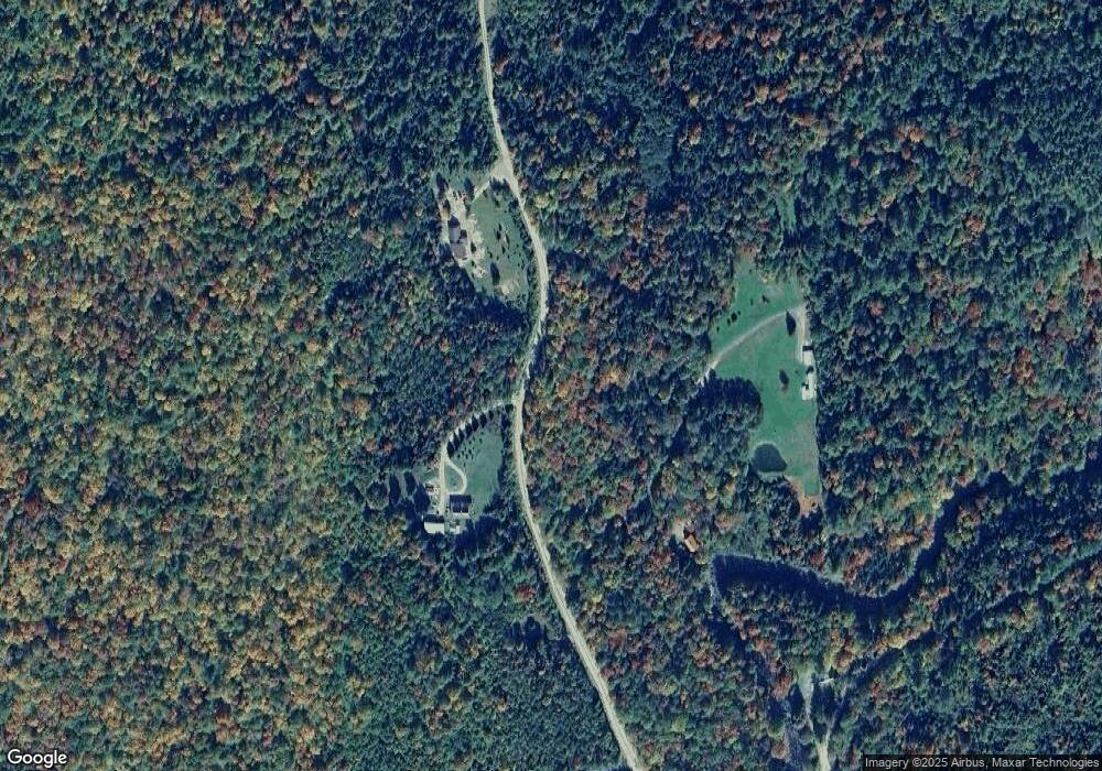
Map
Nearby Homes
- 25 Sullivan Rd
- 00 Mountain View Rd
- 0 Mountain View Rd
- 53 Montgomery Rd
- 00 Bell Hill Rd
- 68 Short Rd
- 128 Old Route 110
- 338 Percy Rd
- 388 Percy Rd
- 112 Normand Rd
- 0 Mud Pond Rd Unit 5046633
- 1116 W Milan Rd
- 750 Percy Rd
- 48 Spring Rd
- 238 Northside Rd
- 1 Nay Pond Island
- 205 Overlook Rd
- 461 Hill Rd
- 10 Pontook Estates Rd
- 170 Cogswell Rd Unit 288/025