1610 Bozrah Rd Oakdale, CT 06370
Estimated Value: $413,000 - $533,000
4
Beds
3
Baths
1,962
Sq Ft
$248/Sq Ft
Est. Value
About This Home
This home is located at 1610 Bozrah Rd, Oakdale, CT 06370 and is currently estimated at $486,557, approximately $247 per square foot. 1610 Bozrah Rd is a home located in New London County with nearby schools including Leonard J. Tyl Middle School, Montville High School, and St. Thomas More School.
Ownership History
Date
Name
Owned For
Owner Type
Purchase Details
Closed on
Dec 11, 2021
Sold by
Lenhart John E
Bought by
John E Lenhart Jr T
Current Estimated Value
Purchase Details
Closed on
May 8, 2000
Sold by
Johnson Merle I and Johnson Jill B
Bought by
Lenhart John E and Lenhart Deborah L
Create a Home Valuation Report for This Property
The Home Valuation Report is an in-depth analysis detailing your home's value as well as a comparison with similar homes in the area
Home Values in the Area
Average Home Value in this Area
Purchase History
| Date | Buyer | Sale Price | Title Company |
|---|---|---|---|
| John E Lenhart Jr T | -- | None Available | |
| John E Lenhart Jr T E | -- | None Available | |
| Lenhart John E | $46,000 | -- | |
| Lenhart John E | $46,000 | -- |
Source: Public Records
Mortgage History
| Date | Status | Borrower | Loan Amount |
|---|---|---|---|
| Previous Owner | Lenhart John E | $218,000 | |
| Previous Owner | Lenhart John E | $212,000 | |
| Previous Owner | Lenhart John E | $212,000 |
Source: Public Records
Tax History Compared to Growth
Tax History
| Year | Tax Paid | Tax Assessment Tax Assessment Total Assessment is a certain percentage of the fair market value that is determined by local assessors to be the total taxable value of land and additions on the property. | Land | Improvement |
|---|---|---|---|---|
| 2025 | $7,316 | $253,400 | $43,120 | $210,280 |
| 2024 | $7,037 | $253,400 | $43,120 | $210,280 |
| 2023 | $7,037 | $253,400 | $43,120 | $210,280 |
| 2022 | $6,768 | $253,400 | $43,120 | $210,280 |
| 2021 | $6,148 | $193,650 | $37,580 | $156,070 |
| 2020 | $6,270 | $193,650 | $37,580 | $156,070 |
| 2019 | $6,296 | $193,650 | $37,580 | $156,070 |
| 2018 | $6,145 | $193,650 | $37,580 | $156,070 |
| 2017 | $6,139 | $193,650 | $37,580 | $156,070 |
| 2016 | $5,807 | $189,710 | $46,140 | $143,570 |
| 2015 | $5,807 | $189,710 | $46,140 | $143,570 |
| 2014 | $5,572 | $189,710 | $46,140 | $143,570 |
Source: Public Records
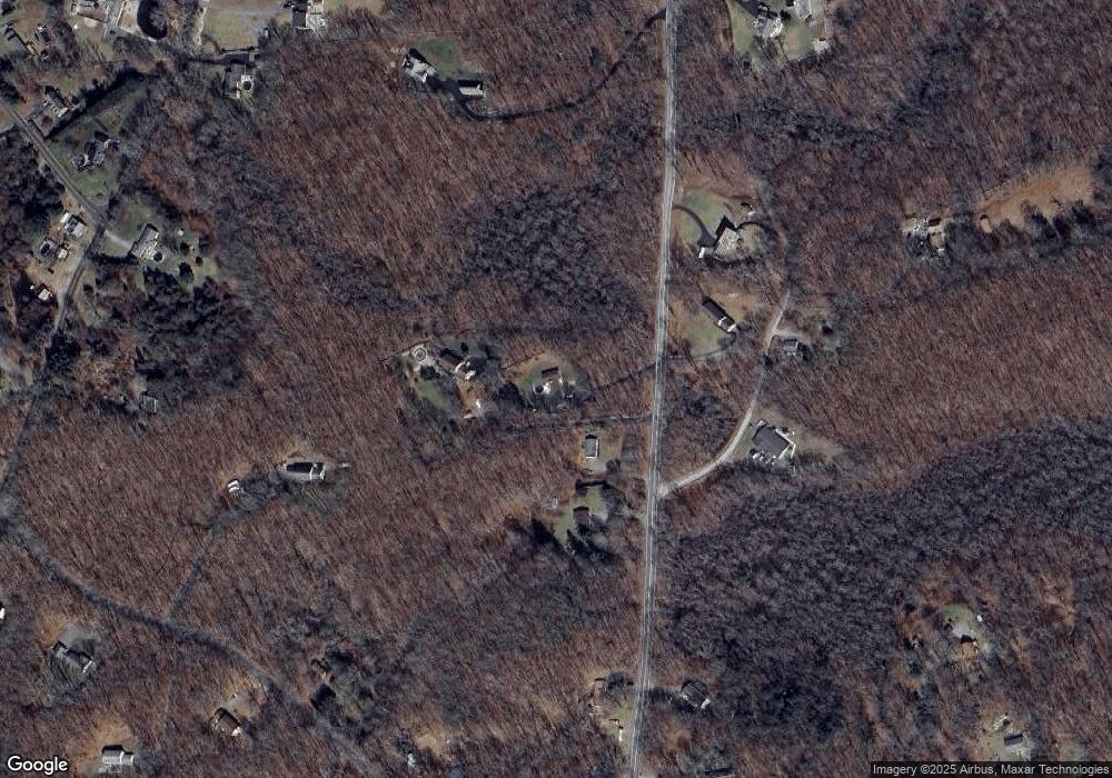
Map
Nearby Homes
- 12 Church Rd
- 219 Doyle Rd
- 87E Cottage Rd
- 1578 Old Colchester Rd
- 25 South Rd
- 52 Lake View Ave
- 0 South Rd
- 8 Eddy Ct
- 12 Eddy Ct
- 33A Laurel Point Dr
- 156 Old Colchester Rd
- 33D Laurel Point Dr
- 306 Old Colchester Rd Unit 197
- 20 Forest Dr
- 106 Caroline Rd
- 80 Walker Rd
- 69 Forsyth Rd
- 343 Old Colchester Rd Unit R
- 17 Manor Rd
- 89 Norwich Salem Turnpike
- 1592 Bozrah Rd
- 1604 Bozrah Rd
- 1588 Bozrah Rd
- 1595 Bozrah Rd
- 5 Herschler Rd
- 1605 Bozrah Rd
- 1580 Route 163
- 1704 Bozrah Rd
- 21 Herschler Rd
- 1583 Bozrah Rd
- 1583 Route 163 Unit 1
- 1583 Route 163 Unit 7
- 1583 Route 163 Unit 3
- 1620 Bozrah St
- 1620 Bozrah Rd
- 66 Church Rd
- 1636 Bozrah Rd
- 1570 Bozrah Rd
- 38 Church Rd
- 30 Church Rd