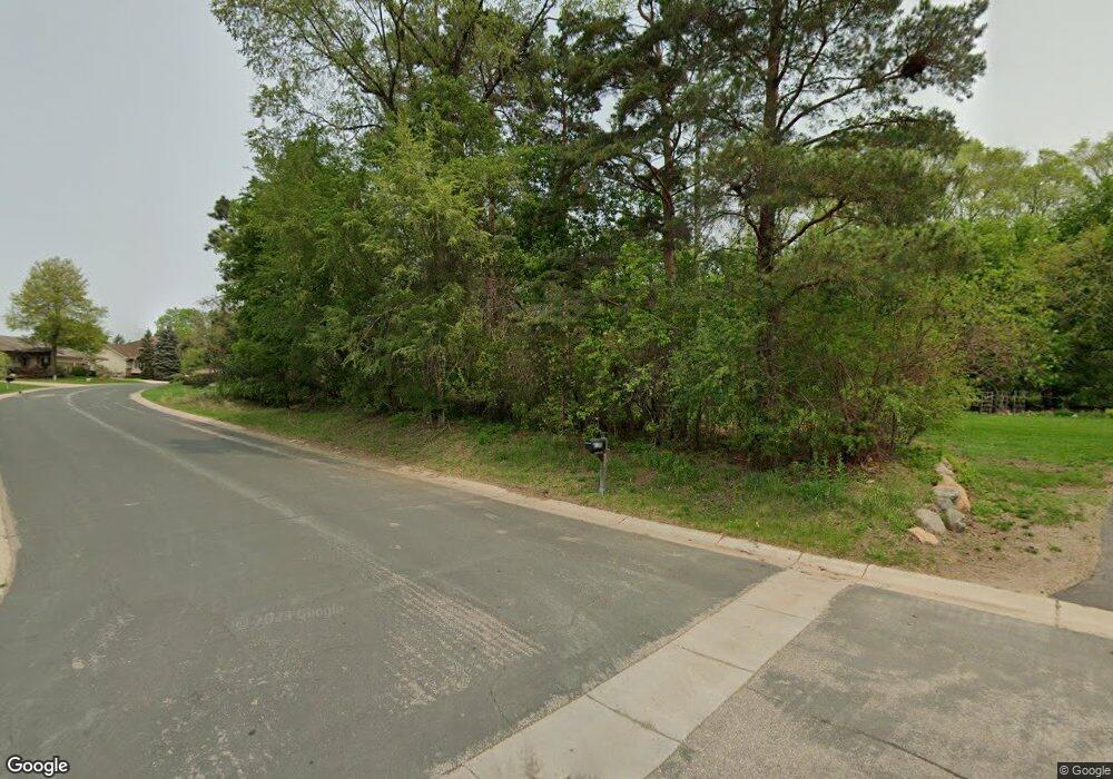
1610 Skyline Path Saint Paul, MN 55121
Estimated Value: $556,000 - $646,617
6
Beds
4
Baths
2,000
Sq Ft
$306/Sq Ft
Est. Value
About This Home
This home is located at 1610 Skyline Path, Saint Paul, MN 55121 and is currently estimated at $612,154, approximately $306 per square foot. 1610 Skyline Path is a home located in Dakota County with nearby schools including Pilot Knob STEM Magnet School, Friendly Hills Middle School, and Two Rivers High School.
Ownership History
Date
Name
Owned For
Owner Type
Purchase Details
Closed on
Jan 12, 2016
Sold by
Adedeji Samuel O and Adedeji Margaret A
Bought by
Us Bank National Association
Current Estimated Value
Purchase Details
Closed on
Jun 30, 1998
Sold by
Kolar Marjorie T
Bought by
Zirnhelt George and Zirnhelt Susan
Purchase Details
Closed on
Apr 15, 1998
Sold by
Zirnhelt George T and Zirnhelt Susan M
Bought by
Adedeji Samuel O and Adedeji Margaret A
Create a Home Valuation Report for This Property
The Home Valuation Report is an in-depth analysis detailing your home's value as well as a comparison with similar homes in the area
Home Values in the Area
Average Home Value in this Area
Purchase History
| Date | Buyer | Sale Price | Title Company |
|---|---|---|---|
| Us Bank National Association | $289,086 | Attorney | |
| Zirnhelt George | $46,000 | -- | |
| Adedeji Samuel O | $46,500 | -- | |
| Adedeji Samuel O | $51,000 | -- |
Source: Public Records
Mortgage History
| Date | Status | Borrower | Loan Amount |
|---|---|---|---|
| Closed | Adedeji Samuel O | -- |
Source: Public Records
Tax History Compared to Growth
Tax History
| Year | Tax Paid | Tax Assessment Tax Assessment Total Assessment is a certain percentage of the fair market value that is determined by local assessors to be the total taxable value of land and additions on the property. | Land | Improvement |
|---|---|---|---|---|
| 2024 | $5,680 | $646,400 | $162,400 | $484,000 |
| 2023 | $5,680 | $613,000 | $162,900 | $450,100 |
| 2022 | $5,000 | $620,400 | $162,400 | $458,000 |
| 2021 | $4,672 | $518,800 | $141,200 | $377,600 |
| 2020 | $4,868 | $472,900 | $134,500 | $338,400 |
| 2019 | $4,874 | $476,300 | $128,100 | $348,200 |
| 2018 | $4,912 | $456,400 | $122,000 | $334,400 |
| 2017 | $5,044 | $448,700 | $116,200 | $332,500 |
| 2016 | $5,014 | $439,300 | $110,700 | $328,600 |
| 2015 | $4,702 | $432,000 | $110,700 | $321,300 |
| 2014 | -- | $390,149 | $107,164 | $282,985 |
| 2013 | -- | $372,709 | $96,819 | $275,890 |
Source: Public Records
Map
Nearby Homes
- 2850 Bridgeview Terrace
- 1700 Four Oaks Rd Unit 314B
- 3063 Timberwood Trail Unit 41
- 3155 Coachman Rd Unit 408
- 3155 Coachman Rd Unit 310
- 3082 Timberwood Trail Unit 34
- 1603 Raindrop Dr
- 3030 Shields Dr Unit 105
- 3050 Shields Dr Unit 103
- 2840 Pilot Knob Rd
- 1360 Lone Oak Rd
- 1355 Jurdy Rd
- 3259 Valley Ridge Dr Unit 10
- 1654 Hunt Dr
- 1650 Hunt Dr
- 1544 Greenwood Ct N
- 3650 Knoll Ridge Dr
- 1345 Crestridge Ln Unit 102
- 1847 Deer Pond Cir
- 1259 Timbershore Ln
- 1611 Skyline Path
- 1521 Lone Oak Rd
- 1608 Skyline Path
- 2975 Witby Dr
- 1603 Skyline Path
- 1600 Skyline Path
- 1533 Lone Oak Rd
- 1515 Lone Oak Rd
- 1592 Skyline Path
- 1595 Skyline Path
- 2965 Witby Dr
- 1587 Skyline Path
- 1522 Lone Oak Rd
- 1590 Skyline Trail
- 1505 Lone Oak Rd
- 1539 Lone Oak Rd
- 1566 Rustic Hills Dr
- 1526 Lone Oak Rd
- 1530 Lone Oak Rd
- 1570 Rustic Hills Dr
