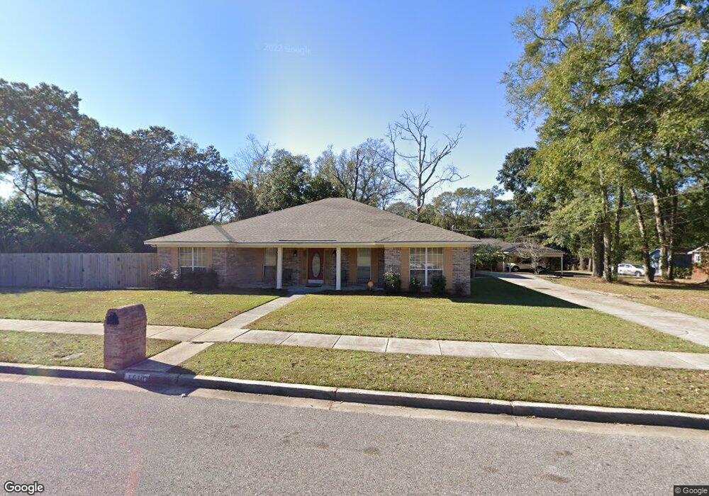
1610 Zack Logan Ave W Mobile, AL 36609
Malibar Heights NeighborhoodEstimated Value: $238,000 - $300,000
4
Beds
2
Baths
2,248
Sq Ft
$117/Sq Ft
Est. Value
About This Home
This home is located at 1610 Zack Logan Ave W, Mobile, AL 36609 and is currently estimated at $263,115, approximately $117 per square foot. 1610 Zack Logan Ave W is a home located in Mobile County with nearby schools including Olive J. Dodge Elementary School, Burns Middle School, and WP Davidson High School.
Ownership History
Date
Name
Owned For
Owner Type
Purchase Details
Closed on
Sep 11, 1998
Sold by
Hodge Phoebe and Sanders Sharon
Bought by
Dial Michael L and Dial Constance A
Current Estimated Value
Home Financials for this Owner
Home Financials are based on the most recent Mortgage that was taken out on this home.
Original Mortgage
$107,415
Outstanding Balance
$23,045
Interest Rate
6.95%
Mortgage Type
Construction
Estimated Equity
$240,070
Create a Home Valuation Report for This Property
The Home Valuation Report is an in-depth analysis detailing your home's value as well as a comparison with similar homes in the area
Home Values in the Area
Average Home Value in this Area
Purchase History
| Date | Buyer | Sale Price | Title Company |
|---|---|---|---|
| Dial Michael L | $118,000 | -- |
Source: Public Records
Mortgage History
| Date | Status | Borrower | Loan Amount |
|---|---|---|---|
| Open | Dial Michael L | $107,415 |
Source: Public Records
Tax History Compared to Growth
Tax History
| Year | Tax Paid | Tax Assessment Tax Assessment Total Assessment is a certain percentage of the fair market value that is determined by local assessors to be the total taxable value of land and additions on the property. | Land | Improvement |
|---|---|---|---|---|
| 2024 | $2,503 | $18,350 | $2,400 | $15,950 |
| 2023 | $2,340 | $17,070 | $2,340 | $14,730 |
| 2022 | $2,093 | $16,480 | $2,160 | $14,320 |
| 2021 | $1,971 | $15,520 | $1,800 | $13,720 |
| 2020 | $1,961 | $15,440 | $1,650 | $13,790 |
| 2019 | $2,066 | $32,540 | $0 | $0 |
| 2018 | $2,111 | $33,240 | $0 | $0 |
| 2017 | $2,023 | $31,860 | $0 | $0 |
| 2016 | $2,045 | $32,200 | $0 | $0 |
| 2013 | $1,975 | $30,760 | $0 | $0 |
Source: Public Records
Map
Nearby Homes
- 4303 Panorama Blvd
- 1618 Catalina Dr
- 5305 Oak Bend Ct
- 4156 Palmdale Dr
- 1437 Regency Oaks Dr E
- 1429 Regency Oaks Dr E
- 4458 Wolf Creek Dr N
- 708 Monarch Dr W
- 661 Ynestra Dr
- 4118 Seabreeze Rd N
- 708 Ynestra Dr
- 402 La Rose Dr
- 767 Kasserine Pass
- 4061 Sallie Ct
- 1609 Oak Forest Ct
- 713 Oak Circle Dr E
- 1701 Aspen Wood Ct
- 1028 Oakland Dr
- 786 Kasserine Pass
- 1005 Oakland Dr
- 563 Zack Logan Ave W
- 1617 Charmey St
- 1619 Charmey St
- 1600 Zack Logan Ave W
- 1601 Charmey St
- 4300 Panorama Blvd
- 1625 Zack Logan Ave W
- 4302 Panorama Blvd
- 1605 Zack Logan Ave W
- 1605 Zack Logan Ave W
- 4264 Panorama Blvd
- 4304 Panorama Blvd
- 550 Zack Logan Ave W
- 4306 Panorama Blvd
- 4262 Panorama Blvd
- 1618 Charmey St
- 4300 David St
- 0 Charmey St
- 9 Davids St
- 0 Davids St