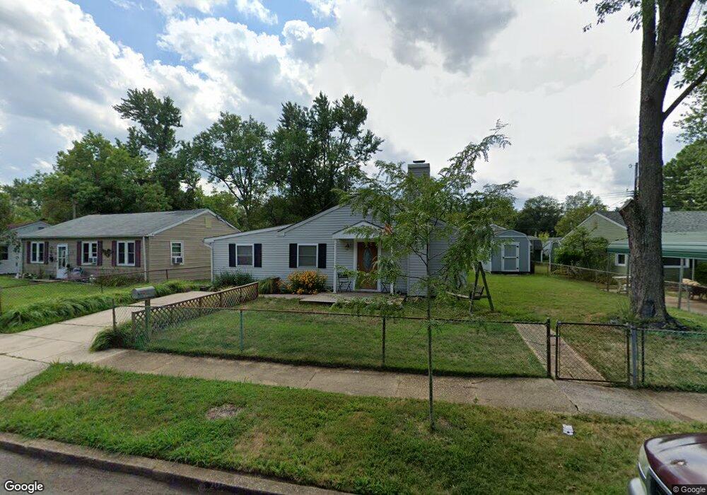
1611 Lorimer Rd Glen Burnie, MD 21061
Estimated Value: $353,000 - $378,000
--
Bed
1
Bath
1,680
Sq Ft
$215/Sq Ft
Est. Value
About This Home
This home is located at 1611 Lorimer Rd, Glen Burnie, MD 21061 and is currently estimated at $360,851, approximately $214 per square foot. 1611 Lorimer Rd is a home located in Anne Arundel County with nearby schools including Woodside Elementary School, Corkran Middle School, and Glen Burnie High School.
Ownership History
Date
Name
Owned For
Owner Type
Purchase Details
Closed on
Aug 2, 2000
Sold by
Secretary Of Housing & Urban
Bought by
Benson Brian J
Current Estimated Value
Purchase Details
Closed on
May 18, 2000
Sold by
Lamrouex Jeffrey R
Bought by
The Secretary Of Housing & Urban
Purchase Details
Closed on
Sep 4, 1996
Sold by
Lawton Frederick W
Bought by
Lamrouex Jeffrey R and Lamrouex Bonnie L
Create a Home Valuation Report for This Property
The Home Valuation Report is an in-depth analysis detailing your home's value as well as a comparison with similar homes in the area
Home Values in the Area
Average Home Value in this Area
Purchase History
| Date | Buyer | Sale Price | Title Company |
|---|---|---|---|
| Benson Brian J | $80,000 | -- | |
| The Secretary Of Housing & Urban | $113,000 | -- | |
| Lamrouex Jeffrey R | $99,900 | -- |
Source: Public Records
Mortgage History
| Date | Status | Borrower | Loan Amount |
|---|---|---|---|
| Closed | Lamrouex Jeffrey R | -- |
Source: Public Records
Tax History Compared to Growth
Tax History
| Year | Tax Paid | Tax Assessment Tax Assessment Total Assessment is a certain percentage of the fair market value that is determined by local assessors to be the total taxable value of land and additions on the property. | Land | Improvement |
|---|---|---|---|---|
| 2025 | $2,261 | $258,500 | $143,600 | $114,900 |
| 2024 | $2,261 | $243,967 | $0 | $0 |
| 2023 | $1,709 | $229,433 | $0 | $0 |
| 2022 | $2,026 | $214,900 | $113,600 | $101,300 |
| 2021 | $3,989 | $210,633 | $0 | $0 |
| 2020 | $1,922 | $206,367 | $0 | $0 |
| 2019 | $1,893 | $202,100 | $103,600 | $98,500 |
| 2018 | $1,984 | $195,633 | $0 | $0 |
| 2017 | $1,788 | $189,167 | $0 | $0 |
| 2016 | -- | $182,700 | $0 | $0 |
| 2015 | -- | $174,800 | $0 | $0 |
| 2014 | -- | $166,900 | $0 | $0 |
Source: Public Records
Map
Nearby Homes
- 1702 Manning Rd
- 1612 Lorimer Rd
- 1731 Saunders Way
- 1701 Norfolk Rd
- 8918 Twin Ridge Dr
- 8903 Jeff Mar Dr
- 1613 Kimber Rd
- 8906 Jeff Mar Dr
- 1921 Norwich Rd
- 405 Morningside Dr
- 1003 Lee Rd
- 1909 Pagham Rd
- 0 Irene Dr
- 1318 Tarrant Rd
- 338 White Oak Way
- 301 Whitman Ct
- 180 Jessica Ln
- 912 Oakwood Rd
- 307 Oxford Dr
- 7818 Oakwood Rd
- 1613 Lorimer Rd
- 1609 Lorimer Rd
- 1704 Manning Rd
- 1615 Lorimer Rd
- 1706 Manning Rd
- 1605 Lorimer Rd
- 1610 Lorimer Rd
- 1708 Manning Rd
- 1608 Lorimer Rd
- 1700 Manning Rd
- 1614 Lorimer Rd
- 1617 Lorimer Rd
- 1606 Lorimer Rd
- 1616 Lorimer Rd
- 1710 Manning Rd
- 1604 Lorimer Rd
- 1619 Lorimer Rd
- 1601 Lorimer Rd
- 1618 Lorimer Rd
- 1705 Manning Rd