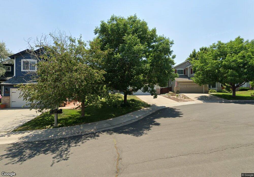
16118 Amber Rock Ct Parker, CO 80134
Stonegate NeighborhoodEstimated Value: $626,392 - $662,000
3
Beds
3
Baths
2,463
Sq Ft
$258/Sq Ft
Est. Value
About This Home
This home is located at 16118 Amber Rock Ct, Parker, CO 80134 and is currently estimated at $636,098, approximately $258 per square foot. 16118 Amber Rock Ct is a home located in Douglas County with nearby schools including Mammoth Heights Elementary School, Sierra Middle School, and Chaparral High School.
Ownership History
Date
Name
Owned For
Owner Type
Purchase Details
Closed on
Aug 17, 2018
Sold by
Wales Amy S
Bought by
Remy Sean C and Thompson Lauren M
Current Estimated Value
Home Financials for this Owner
Home Financials are based on the most recent Mortgage that was taken out on this home.
Original Mortgage
$417,905
Outstanding Balance
$362,934
Interest Rate
4.5%
Mortgage Type
New Conventional
Estimated Equity
$273,164
Purchase Details
Closed on
Feb 27, 2015
Sold by
Delos Angeles Pamela Jane
Bought by
Wales Amy B
Purchase Details
Closed on
Jun 16, 1997
Sold by
Cascade Homes Colorado Llc
Bought by
Delosangeles Pamela Jane
Home Financials for this Owner
Home Financials are based on the most recent Mortgage that was taken out on this home.
Original Mortgage
$121,000
Interest Rate
6.87%
Purchase Details
Closed on
Sep 20, 1996
Sold by
Stonegate Developments
Bought by
Cascade Homes Colo
Create a Home Valuation Report for This Property
The Home Valuation Report is an in-depth analysis detailing your home's value as well as a comparison with similar homes in the area
Home Values in the Area
Average Home Value in this Area
Purchase History
| Date | Buyer | Sale Price | Title Company |
|---|---|---|---|
| Remy Sean C | $439,900 | North American Title | |
| Wales Amy B | $350,000 | Guardian Title | |
| Delosangeles Pamela Jane | $171,000 | -- | |
| Cascade Homes Colo | $181,300 | -- |
Source: Public Records
Mortgage History
| Date | Status | Borrower | Loan Amount |
|---|---|---|---|
| Open | Remy Sean C | $417,905 | |
| Previous Owner | Delosangeles Pamela Jane | $121,000 |
Source: Public Records
Tax History Compared to Growth
Tax History
| Year | Tax Paid | Tax Assessment Tax Assessment Total Assessment is a certain percentage of the fair market value that is determined by local assessors to be the total taxable value of land and additions on the property. | Land | Improvement |
|---|---|---|---|---|
| 2024 | $4,420 | $44,960 | $8,890 | $36,070 |
| 2023 | $4,459 | $44,960 | $8,890 | $36,070 |
| 2022 | $3,317 | $30,050 | $6,060 | $23,990 |
| 2021 | $3,412 | $30,050 | $6,060 | $23,990 |
| 2020 | $3,244 | $29,300 | $6,680 | $22,620 |
| 2019 | $3,166 | $29,300 | $6,680 | $22,620 |
| 2018 | $2,805 | $25,610 | $6,010 | $19,600 |
| 2017 | $2,645 | $25,610 | $6,010 | $19,600 |
| 2016 | $2,419 | $23,050 | $5,570 | $17,480 |
| 2015 | $1,233 | $23,050 | $5,570 | $17,480 |
| 2014 | $1,120 | $18,880 | $5,410 | $13,470 |
Source: Public Records
Map
Nearby Homes
- 9865 Centre Cir
- 15904 Stonebriar Dr
- 16136 Sequoia Dr
- 9792 Clandan Ct
- 15626 Greenstone Cir
- 10056 Carnelian Place
- 10050 Granite Hill Dr
- 15432 Greenstone Cir
- 9551 Longford Way
- 9585 Pearl Cir Unit 203
- 16056 Quarry Hill Dr
- 9551 Pearl Cir Unit 202
- 9416 Ashbury Cir Unit 102
- 16341 Maple Rock Ct
- 10158 Stoneridge Terrace
- 9531 Pearl Cir Unit 203
- 9397 Las Ramblas Ct Unit C
- 9555 Deerhorn Ct Unit 1
- 9350 Amison Cir Unit 103
- 9335 Amison Cir Unit 101
- 16128 Amber Rock Ct
- 16108 Amber Rock Ct
- 16138 Amber Rock Ct
- 16098 Amber Rock Ct
- 16119 Hedgeway Dr
- 16129 Hedgeway Dr
- 16148 Amber Rock Ct
- 16109 Hedgeway Dr
- 16139 Hedgeway Dr
- 16088 Amber Rock Ct
- 16069 Hedgeway Dr
- 16149 Hedgeway Dr
- 16117 Amber Rock Ct
- 16127 Amber Rock Ct
- 16137 Amber Rock Ct
- 16097 Amber Rock Ct
- 9838 Hedgeway Ct
- 16107 Amber Rock Ct
- 16049 Hedgeway Dr
- 16147 Amber Rock Ct