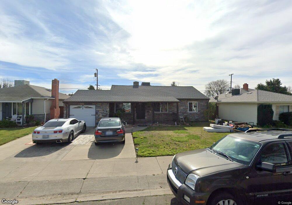
1612 W Locust St Unit 2 Lodi, CA 95242
North Lodi NeighborhoodEstimated Value: $412,881 - $457,000
3
Beds
1
Bath
1,112
Sq Ft
$390/Sq Ft
Est. Value
About This Home
This home is located at 1612 W Locust St Unit 2, Lodi, CA 95242 and is currently estimated at $433,470, approximately $389 per square foot. 1612 W Locust St Unit 2 is a home located in San Joaquin County with nearby schools including Erma B. Reese Elementary School, Millswood Middle School, and Lodi High School.
Ownership History
Date
Name
Owned For
Owner Type
Purchase Details
Closed on
Mar 22, 1996
Sold by
Bertsch James and Bertsch Lois
Bought by
Nishimoto Eddie and Fredrickson Laurie K
Current Estimated Value
Home Financials for this Owner
Home Financials are based on the most recent Mortgage that was taken out on this home.
Original Mortgage
$82,800
Outstanding Balance
$3,255
Interest Rate
7.05%
Estimated Equity
$430,215
Create a Home Valuation Report for This Property
The Home Valuation Report is an in-depth analysis detailing your home's value as well as a comparison with similar homes in the area
Home Values in the Area
Average Home Value in this Area
Purchase History
| Date | Buyer | Sale Price | Title Company |
|---|---|---|---|
| Nishimoto Eddie | $103,500 | Fidelity National Title Co |
Source: Public Records
Mortgage History
| Date | Status | Borrower | Loan Amount |
|---|---|---|---|
| Open | Nishimoto Eddie | $82,800 |
Source: Public Records
Tax History Compared to Growth
Tax History
| Year | Tax Paid | Tax Assessment Tax Assessment Total Assessment is a certain percentage of the fair market value that is determined by local assessors to be the total taxable value of land and additions on the property. | Land | Improvement |
|---|---|---|---|---|
| 2025 | $1,799 | $171,923 | $74,748 | $97,175 |
| 2024 | $1,748 | $168,553 | $73,283 | $95,270 |
| 2023 | $1,727 | $165,249 | $71,847 | $93,402 |
| 2022 | $1,687 | $162,010 | $70,439 | $91,571 |
| 2021 | $1,716 | $158,834 | $69,058 | $89,776 |
| 2020 | $1,670 | $157,206 | $68,350 | $88,856 |
| 2019 | $1,636 | $154,124 | $67,010 | $87,114 |
| 2018 | $1,611 | $151,103 | $65,697 | $85,406 |
| 2017 | $1,574 | $148,141 | $64,409 | $83,732 |
| 2016 | $1,474 | $145,238 | $63,147 | $82,091 |
| 2014 | $1,438 | $140,255 | $60,980 | $79,275 |
Source: Public Records
Map
Nearby Homes
- 19 N Pinewood Ct
- 2001 Jerry Ln
- 400 N Pacific Ave
- 1818 Capell Dr
- 2131 Jerry Ln
- 208 Palomar Dr
- 248 S Corinth Ave
- 2145 W Pine St
- 728 N Mills Ave
- 2132 Tracy Place
- 306 Shady Acres Dr
- 834 N Ham Ln
- 406 Whitney St
- 641 Rutledge Dr
- 619 W Elm St
- 2438 Central Park Dr
- 744 W Turner Rd
- 2408 Tejon St
- 208 Gramercy Park Dr
- 380 S Sunset Dr
- 1618 W Locust St
- 1606 W Locust St
- 1607 W Elm St
- 1613 W Elm St
- 1600 W Locust St
- 1700 W Locust St
- 1601 W Elm St
- 1613 W Locust St
- 1619 W Elm St
- 1607 W Locust St
- 1619 W Locust St
- 1524 W Locust St
- 1525 W Elm St
- 1706 W Locust St
- 1601 W Locust St
- 1701 W Locust St
- 1701 W Elm St
- 1525 W Locust St
- 1518 W Locust St
- 1519 W Elm St