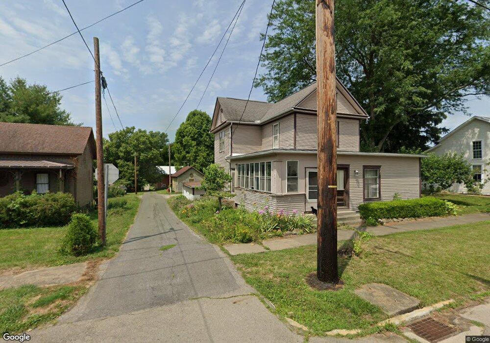
1613 Cr 251 Jeromesville, OH 44840
Estimated Value: $261,000 - $369,000
4
Beds
2
Baths
1,920
Sq Ft
$156/Sq Ft
Est. Value
About This Home
This home is located at 1613 Cr 251, Jeromesville, OH 44840 and is currently estimated at $299,134, approximately $155 per square foot. 1613 Cr 251 is a home located in Ashland County with nearby schools including Hillsdale Elementary School, Hillsdale Middle School, and Hillsdale High School.
Ownership History
Date
Name
Owned For
Owner Type
Purchase Details
Closed on
Mar 2, 2015
Sold by
Neuhardt Richard W
Bought by
Garn Adam D and Garn Cassandra D
Current Estimated Value
Home Financials for this Owner
Home Financials are based on the most recent Mortgage that was taken out on this home.
Original Mortgage
$129,591
Outstanding Balance
$98,960
Interest Rate
3.6%
Mortgage Type
New Conventional
Estimated Equity
$200,174
Purchase Details
Closed on
May 5, 1999
Bought by
Perry Danny
Create a Home Valuation Report for This Property
The Home Valuation Report is an in-depth analysis detailing your home's value as well as a comparison with similar homes in the area
Home Values in the Area
Average Home Value in this Area
Purchase History
| Date | Buyer | Sale Price | Title Company |
|---|---|---|---|
| Garn Adam D | $127,000 | North American Title | |
| Perry Danny | $18,900 | -- |
Source: Public Records
Mortgage History
| Date | Status | Borrower | Loan Amount |
|---|---|---|---|
| Open | Garn Adam D | $129,591 |
Source: Public Records
Tax History Compared to Growth
Tax History
| Year | Tax Paid | Tax Assessment Tax Assessment Total Assessment is a certain percentage of the fair market value that is determined by local assessors to be the total taxable value of land and additions on the property. | Land | Improvement |
|---|---|---|---|---|
| 2024 | $2,360 | $70,580 | $14,960 | $55,620 |
| 2023 | $2,360 | $70,580 | $14,960 | $55,620 |
| 2022 | $2,138 | $50,420 | $10,690 | $39,730 |
| 2021 | $2,142 | $50,420 | $10,690 | $39,730 |
| 2020 | $2,009 | $50,420 | $10,690 | $39,730 |
| 2019 | $2,030 | $49,920 | $10,070 | $39,850 |
| 2018 | $1,969 | $49,920 | $10,070 | $39,850 |
| 2017 | $1,970 | $49,920 | $10,070 | $39,850 |
| 2016 | $1,741 | $44,180 | $8,910 | $35,270 |
| 2015 | $1,719 | $44,180 | $8,910 | $35,270 |
| 2013 | $2,087 | $48,270 | $8,850 | $39,420 |
Source: Public Records
Map
Nearby Homes
- 144 Township Road 1650
- 14 E South St
- 156 U S 250
- 2289 N Reedsburg Rd
- 10610 W Old Lincoln Way Unit 6201 Newkirk Rd.
- 1346 Ohio 89
- 1346 State Route 89
- 8743 Ashland Rd
- 2057 Ohio 89
- 2057 State Route 89
- 706 Township Road 1600
- 1845 County Road 655
- 486 Township Road 1275
- 0 Township Road 1275
- 1137 County Road 175
- 10212 Lattasburg Rd
- 164 State Route 302
- 1653 State Route 60
- 1653 Ohio 60
- 150 E Main St
- 1613 County Road 251
- 1607 County Road 251
- 230 County Road 1675
- 228 County Road 1675
- 226 County Road 1675
- 226 Cr 1675
- 1601 County Road 251
- 225 County Road 1675
- 216 County Road 1675
- 1598 County Road 251
- 223 County Road 1675
- 219 County Road 1675
- 214 County Road 1675
- 251 County Road 1675
- 1586 County Road 251
- 221 County Road 1675
- 217 County Road 1675
- 203 Co Rd 1675
- 215 County Road 1675
- 209 County Road 1675