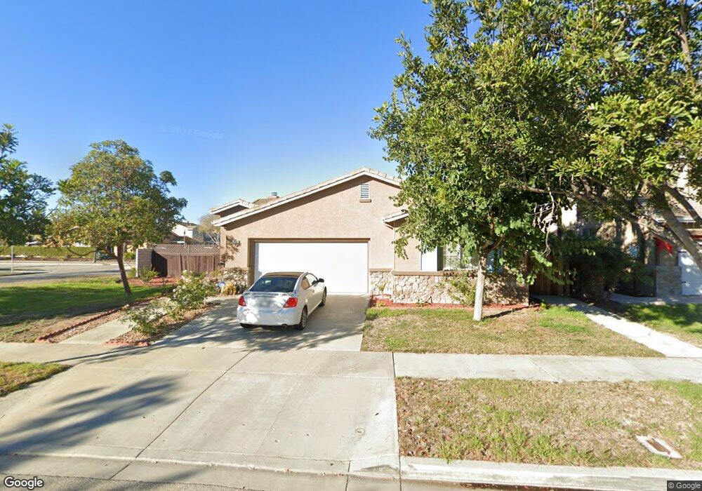
1613 Lola Way Oxnard, CA 93030
West Village NeighborhoodEstimated Value: $851,000 - $935,000
4
Beds
2
Baths
2,105
Sq Ft
$423/Sq Ft
Est. Value
About This Home
This home is located at 1613 Lola Way, Oxnard, CA 93030 and is currently estimated at $890,759, approximately $423 per square foot. 1613 Lola Way is a home located in Ventura County with nearby schools including Brekke Elementary School, R.J. Frank Academy of Marine Science & Engineering, and Pacifica High School.
Ownership History
Date
Name
Owned For
Owner Type
Purchase Details
Closed on
Dec 13, 2006
Sold by
Hosford Gene L and Hosford Arnida G
Bought by
Hosford Gene L and Hosford Arnida G
Current Estimated Value
Purchase Details
Closed on
Dec 13, 1999
Sold by
Standard Pacific Corp
Bought by
Hosford Gene L and Hosford Arnida G
Home Financials for this Owner
Home Financials are based on the most recent Mortgage that was taken out on this home.
Original Mortgage
$215,505
Interest Rate
7.84%
Mortgage Type
Stand Alone First
Create a Home Valuation Report for This Property
The Home Valuation Report is an in-depth analysis detailing your home's value as well as a comparison with similar homes in the area
Home Values in the Area
Average Home Value in this Area
Purchase History
| Date | Buyer | Sale Price | Title Company |
|---|---|---|---|
| Hosford Gene L | -- | None Available | |
| Hosford Gene L | $239,500 | First American Title Ins Co |
Source: Public Records
Mortgage History
| Date | Status | Borrower | Loan Amount |
|---|---|---|---|
| Previous Owner | Hosford Gene L | $215,505 |
Source: Public Records
Tax History
| Year | Tax Paid | Tax Assessment Tax Assessment Total Assessment is a certain percentage of the fair market value that is determined by local assessors to be the total taxable value of land and additions on the property. | Land | Improvement |
|---|---|---|---|---|
| 2025 | $4,952 | $367,995 | $147,193 | $220,802 |
| 2024 | $4,952 | $360,780 | $144,307 | $216,473 |
| 2023 | $4,487 | $353,706 | $141,477 | $212,229 |
| 2022 | $4,179 | $346,771 | $138,703 | $208,068 |
| 2021 | $4,373 | $339,972 | $135,983 | $203,989 |
| 2020 | $4,450 | $336,489 | $134,590 | $201,899 |
| 2019 | $4,276 | $329,892 | $131,951 | $197,941 |
| 2018 | $4,075 | $323,424 | $129,364 | $194,060 |
| 2017 | $3,784 | $317,083 | $126,828 | $190,255 |
| 2016 | $3,852 | $310,867 | $124,342 | $186,525 |
| 2015 | $4,073 | $306,199 | $122,475 | $183,724 |
| 2014 | $4,032 | $300,203 | $120,077 | $180,126 |
Source: Public Records
Map
Nearby Homes
- 565 Rosalinda Dr
- 1902 Ribera Dr Unit 86
- 1930 Ribera Dr
- 2030 Ocaso Place
- 2010 Camino Del Sol
- 211 Featherstone St
- 902 Paseo Brisas Lindas
- 400 N Hayes Ave
- 403 E 2nd St
- 255 Douglas Ave
- 208 Bolero Ln
- 246 Doris Ave
- 450 W Roderick Ave
- 207 Hermano Trail
- 800 S A St
- 2012 Blackberry Cir
- 2016 Blackberry Cir
- 139 Stanford Ave
- 2041 Blackberry Cir
- 425 W 1st St
Your Personal Tour Guide
Ask me questions while you tour the home.