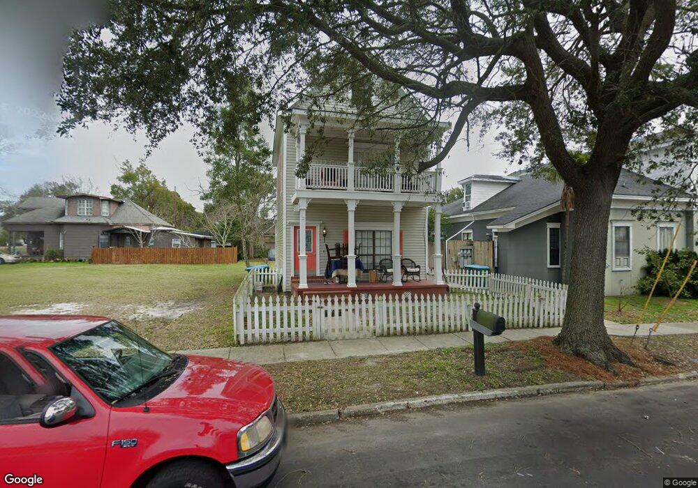
1614 20th Ave Unit 11 Gulfport, MS 39501
East Beach NeighborhoodEstimated Value: $155,000 - $212,000
3
Beds
3
Baths
1,640
Sq Ft
$110/Sq Ft
Est. Value
About This Home
This home is located at 1614 20th Ave Unit 11, Gulfport, MS 39501 and is currently estimated at $180,637, approximately $110 per square foot. 1614 20th Ave Unit 11 is a home located in Harrison County with nearby schools including Central Elementary School, Gulfport Central Middle School, and Gulfport High School.
Ownership History
Date
Name
Owned For
Owner Type
Purchase Details
Closed on
Jul 28, 2023
Sold by
Mccormick Michael L and Mecorinick Carolyn O
Bought by
Collins Kenneth Joseph
Current Estimated Value
Purchase Details
Closed on
May 29, 2020
Sold by
Sullivan John L
Bought by
Mccormick Michael L and Mccormick Carolyn O
Home Financials for this Owner
Home Financials are based on the most recent Mortgage that was taken out on this home.
Original Mortgage
$75,000
Interest Rate
3.3%
Mortgage Type
New Conventional
Create a Home Valuation Report for This Property
The Home Valuation Report is an in-depth analysis detailing your home's value as well as a comparison with similar homes in the area
Home Values in the Area
Average Home Value in this Area
Purchase History
| Date | Buyer | Sale Price | Title Company |
|---|---|---|---|
| Collins Kenneth Joseph | -- | None Listed On Document | |
| Mccormick Michael L | -- | None Available |
Source: Public Records
Mortgage History
| Date | Status | Borrower | Loan Amount |
|---|---|---|---|
| Previous Owner | Mccormick Michael L | $75,000 |
Source: Public Records
Tax History Compared to Growth
Tax History
| Year | Tax Paid | Tax Assessment Tax Assessment Total Assessment is a certain percentage of the fair market value that is determined by local assessors to be the total taxable value of land and additions on the property. | Land | Improvement |
|---|---|---|---|---|
| 2024 | $3,038 | $23,021 | $0 | $0 |
| 2023 | $867 | $13,909 | $0 | $0 |
| 2022 | $867 | $13,909 | $0 | $0 |
| 2021 | $867 | $13,909 | $0 | $0 |
| 2020 | $1,440 | $12,865 | $0 | $0 |
| 2019 | $1,440 | $12,865 | $0 | $0 |
| 2018 | $1,440 | $12,865 | $0 | $0 |
| 2017 | $1,440 | $12,865 | $0 | $0 |
| 2015 | $1,362 | $12,289 | $0 | $0 |
| 2014 | -- | $10,909 | $0 | $0 |
| 2013 | -- | $12,289 | $1,380 | $10,909 |
Source: Public Records
Map
Nearby Homes
- 1916 2nd St Unit 1
- 1916 2nd St Unit 2
- 1802 20th Ave
- 1940 E Beach Blvd
- 1729 3rd St
- 2026 18th St
- 1634 2nd St
- 1632 2nd St
- 1914 19th Ave
- 2016 19th Ave
- 1625 Pratt Ave
- 1749 21st St
- 1602 E Railroad St
- 1728 21st St
- 2117 21st Ave
- 1526 E Railroad St
- 2200 19th Ave
- 2206 21st Ave Unit A B
- 2012 24th Ave
- 2219 19th Ave
- 1614 20th Ave
- 1610 20th Ave
- 1610 20th Ave
- 1610 20th Ave
- 1610 20th Ave
- 1610 20th Ave Unit 3
- 1610 20th Ave Unit 10
- 1610 20th Ave Unit 1
- 1911 3rd St
- 1608 20th Ave
- 1924 2nd St
- 1924 2nd St Unit 7
- 1916 2nd St
- 1916 2nd St
- 1916 2nd St
- 1916 2nd St
- 1916 2nd St Unit A
- 1916 2nd St Unit 4
- 1615 19th Ave
- 1621 19th Ave