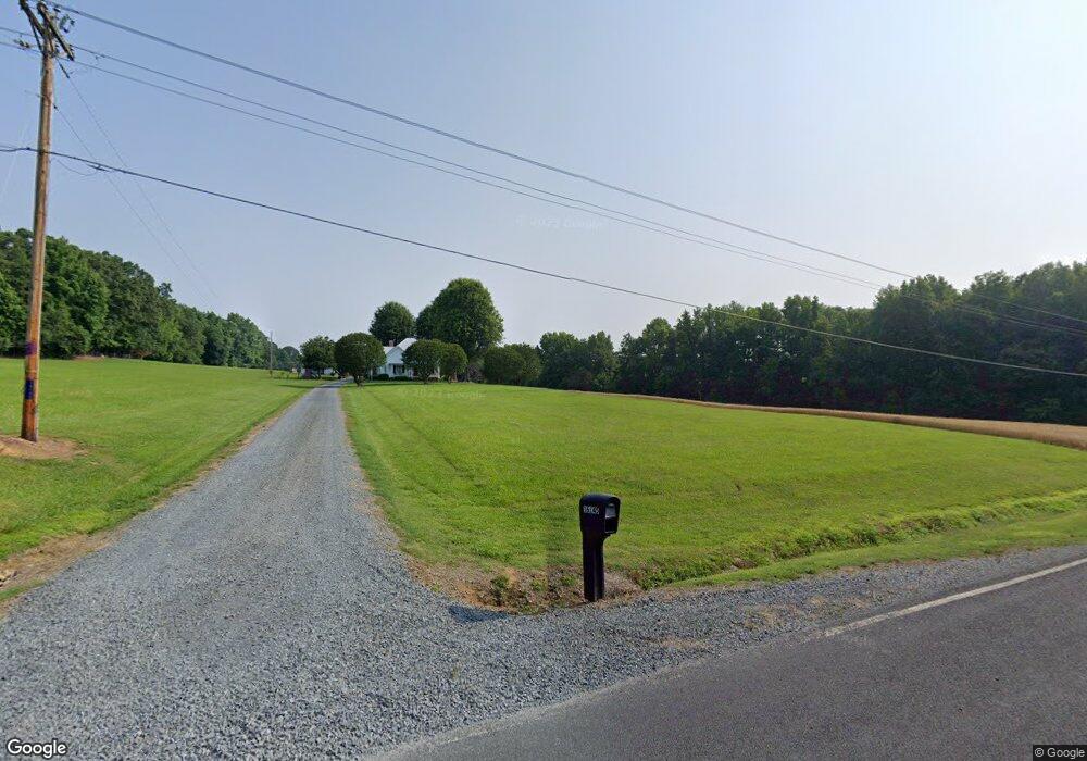
16145 Substation Rd Locust, NC 28097
Estimated Value: $394,000 - $625,393
3
Beds
1
Bath
1,604
Sq Ft
$310/Sq Ft
Est. Value
About This Home
This home is located at 16145 Substation Rd, Locust, NC 28097 and is currently estimated at $497,348, approximately $310 per square foot. 16145 Substation Rd is a home located in Stanly County with nearby schools including Locust Elementary School, West Stanly Middle School, and West Stanly High School.
Ownership History
Date
Name
Owned For
Owner Type
Purchase Details
Closed on
Mar 6, 2017
Sold by
Smith Gareth D and Smith Judy M
Bought by
Smith Gareth D and Smith Judy M
Current Estimated Value
Purchase Details
Closed on
May 4, 2012
Sold by
Mclester Jonathan M and Mclester Andrew L
Bought by
Smith Judy M and Smith Gareth D
Purchase Details
Closed on
Nov 29, 2010
Sold by
Mclester Jerry M and Mclester Elizabeth O
Bought by
Mclester Jonathan M and Mclester Andrew L
Create a Home Valuation Report for This Property
The Home Valuation Report is an in-depth analysis detailing your home's value as well as a comparison with similar homes in the area
Home Values in the Area
Average Home Value in this Area
Purchase History
| Date | Buyer | Sale Price | Title Company |
|---|---|---|---|
| Smith Gareth D | -- | Attorney | |
| Smith Gareth D | $4,500 | Attorney | |
| Smith Judy M | $200,000 | None Available | |
| Mclester Jonathan M | -- | None Available |
Source: Public Records
Tax History
| Year | Tax Paid | Tax Assessment Tax Assessment Total Assessment is a certain percentage of the fair market value that is determined by local assessors to be the total taxable value of land and additions on the property. | Land | Improvement |
|---|---|---|---|---|
| 2025 | $1,181 | $178,934 | $69,792 | $109,142 |
| 2024 | $869 | $120,629 | $57,141 | $63,488 |
| 2023 | $966 | $120,629 | $57,141 | $63,488 |
| 2022 | $966 | $120,629 | $57,141 | $63,488 |
| 2021 | $964 | $120,629 | $57,141 | $63,488 |
| 2020 | $923 | $108,000 | $51,394 | $56,606 |
| 2019 | $927 | $108,000 | $51,394 | $56,606 |
| 2018 | $842 | $108,000 | $51,394 | $56,606 |
| 2017 | $842 | $108,000 | $51,394 | $56,606 |
| 2016 | $1,973 | $259,623 | $199,986 | $59,637 |
| 2015 | $2,064 | $259,623 | $199,986 | $59,637 |
| 2014 | $2,031 | $259,623 | $199,986 | $59,637 |
Source: Public Records
Map
Nearby Homes
- 17427 Purser Dr
- Parcel 2 Birdhouse Ln
- Parcel 1 Birdhouse Ln
- 24910 Birdhouse Ln Unit 1
- 20313 Running Creek Church Rd
- 21080 Running Creek Dr
- 21072 Running Creek Dr
- 21064 Running Creek Dr
- 20289 Running Creek Church Rd
- 21056 Running Creek Dr
- 21048 Running Creek Dr
- 21040 Running Creek Dr
- Red Cedar Plan at Running Creek
- Rainier Plan at Running Creek
- Elliott Plan at Running Creek
- Roosevelt Plan at Running Creek
- 137 Soft Breeze Bend Unit 283b
- 155 Soft Breeze Bend Unit 286b
- 16659 Five Point Rd
- 13271 Austin Rd
- 16115 Substation Rd
- 16124 Substation Rd
- 24416 Jd Dr
- 16158 Substation Rd
- 16138 Substation Rd
- 24496 Millingport Rd
- 24428 Jd Dr
- 16222 Substation Rd
- 24580 Millingport Rd
- 24442 Jd Dr
- 24456 Jd Dr
- 16236 Substation Rd
- 24470 Jd Dr
- 24482 Jd Dr
- 24561 Millingport Rd
- 16277 Substation Rd
- 24490 Jd Dr
- 17573 Misty Brook Ln
- 16288 Substation Rd
- 24671 Millingport Rd