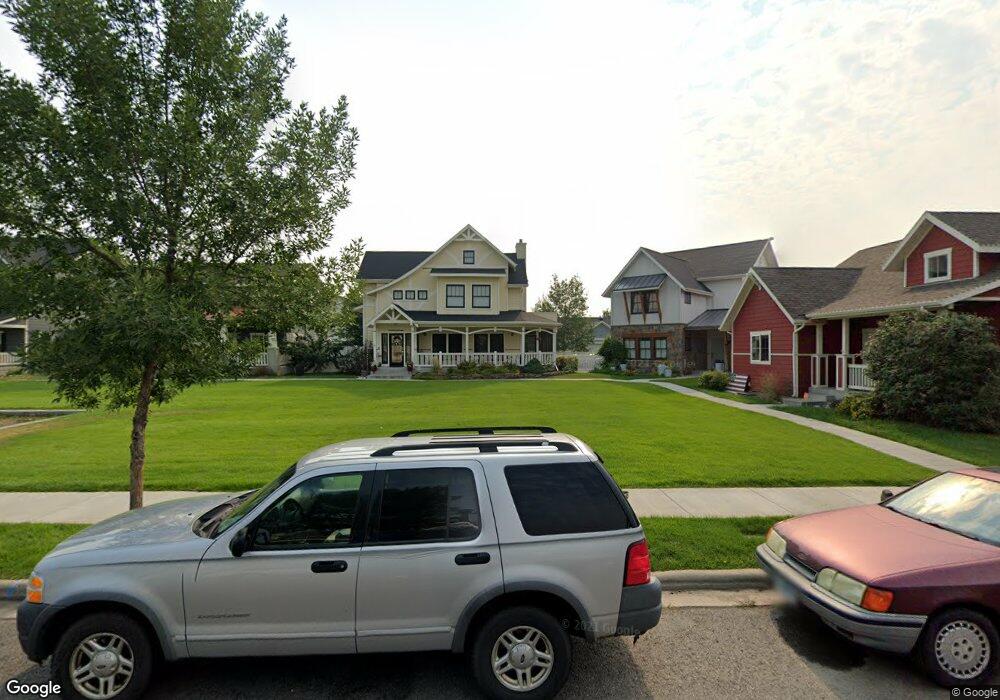
1615 Front St Billings, MT 59101
South Central Billings NeighborhoodEstimated Value: $817,000 - $955,316
6
Beds
5
Baths
4,979
Sq Ft
$183/Sq Ft
Est. Value
About This Home
This home is located at 1615 Front St, Billings, MT 59101 and is currently estimated at $911,579, approximately $183 per square foot. 1615 Front St is a home located in Yellowstone County with nearby schools including Elysian Elementary School, Elysian School, and Billings West High School.
Ownership History
Date
Name
Owned For
Owner Type
Purchase Details
Closed on
Dec 23, 2020
Sold by
Mccall Greg and Mccall Erin
Bought by
Burns Mary A
Current Estimated Value
Home Financials for this Owner
Home Financials are based on the most recent Mortgage that was taken out on this home.
Original Mortgage
$510,400
Outstanding Balance
$452,310
Interest Rate
2.7%
Mortgage Type
New Conventional
Estimated Equity
$459,269
Purchase Details
Closed on
Nov 5, 2008
Sold by
Mccall Development Inc
Bought by
Mccall Greg and Mccall Erin
Home Financials for this Owner
Home Financials are based on the most recent Mortgage that was taken out on this home.
Original Mortgage
$400,000
Interest Rate
6.09%
Mortgage Type
Purchase Money Mortgage
Create a Home Valuation Report for This Property
The Home Valuation Report is an in-depth analysis detailing your home's value as well as a comparison with similar homes in the area
Home Values in the Area
Average Home Value in this Area
Purchase History
| Date | Buyer | Sale Price | Title Company |
|---|---|---|---|
| Burns Mary A | -- | First American Title | |
| Mccall Greg | -- | None Available |
Source: Public Records
Mortgage History
| Date | Status | Borrower | Loan Amount |
|---|---|---|---|
| Open | Burns Mary A | $510,400 | |
| Previous Owner | Mccall Greg | $400,000 |
Source: Public Records
Tax History
| Year | Tax Paid | Tax Assessment Tax Assessment Total Assessment is a certain percentage of the fair market value that is determined by local assessors to be the total taxable value of land and additions on the property. | Land | Improvement |
|---|---|---|---|---|
| 2025 | $7,430 | $939,700 | $70,784 | $868,916 |
| 2024 | $7,430 | $876,200 | $80,048 | $796,152 |
| 2023 | $7,532 | $876,200 | $80,048 | $796,152 |
| 2022 | $6,956 | $720,500 | $0 | $0 |
| 2021 | $6,367 | $720,500 | $0 | $0 |
| 2020 | $5,770 | $629,900 | $0 | $0 |
| 2019 | $5,476 | $629,900 | $0 | $0 |
| 2018 | $5,197 | $576,800 | $0 | $0 |
| 2017 | $4,933 | $576,800 | $0 | $0 |
| 2016 | $4,635 | $547,300 | $0 | $0 |
| 2015 | $4,490 | $547,300 | $0 | $0 |
| 2014 | $4,999 | $322,028 | $0 | $0 |
Source: Public Records
Map
Nearby Homes
- 5343 Golden Hollow Rd
- 5238 Golden Hollow Rd
- 1736 Stony Meadow Ln
- 1616 Island View Dr
- 1746 Stony Meadow Ln
- 1868 Songbird Dr
- 1904 Songbird Dr
- 1439 River Point Loop Unit 1
- 1831 Walter Creek Blvd
- 1806 Walter Creek Blvd
- 6102 Northstead Ave Unit 202
- 6102 Northstead Ave Unit 201
- 1661 Annas Garden Ln
- 1918 Walter Creek Blvd
- 6108 Northstead Ave Unit 201
- 6108 Northstead Ave Unit 202
- 6126 Norma Jean Ln
- 1814 Saint George Blvd
- 1860 St George Blvd
- 6228 Rosemary Rd
- 1609 Front St
- 1621 Front St
- 1614 Lone Pine Dr
- 1618 Lone Pine Dr
- 1605 Front St
- 1625 Front St
- 1622 Lone Pine Dr
- 1606 Lone Pine Dr
- 1633 Front St
- 1601 Front St
- 1626 Lone Pine Dr
- 1629 Front St
- 1637 Front St
- 1602 Lone Pine Dr
- 1628 Front St
- 1630 Lone Pine Dr
- 1617 Lone Pine Dr
- 1613 Lone Pine Dr
- 1014 Lone Pine Dr
- 1008 Lone Pine Dr
Your Personal Tour Guide
Ask me questions while you tour the home.