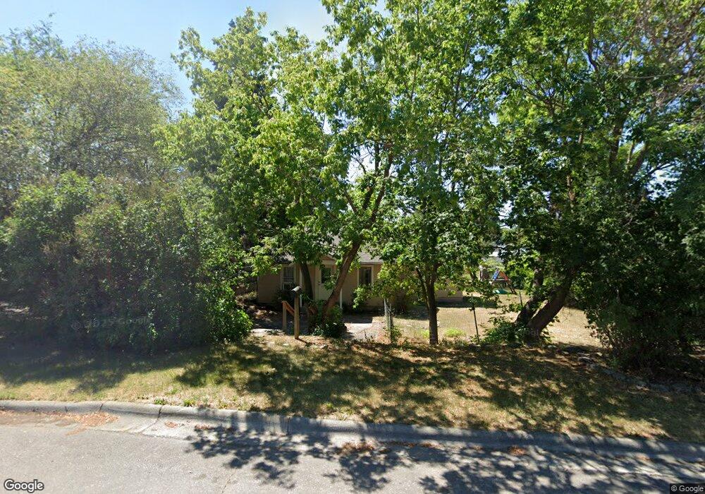
1615 S 12th St W Missoula, MT 59801
Franklin to the Fort NeighborhoodEstimated Value: $382,000 - $488,211
3
Beds
1
Bath
1,774
Sq Ft
$244/Sq Ft
Est. Value
About This Home
This home is located at 1615 S 12th St W, Missoula, MT 59801 and is currently estimated at $433,737, approximately $244 per square foot. 1615 S 12th St W is a home located in Missoula County with nearby schools including Franklin School, Porter Middle School, and Hellgate High School.
Ownership History
Date
Name
Owned For
Owner Type
Purchase Details
Closed on
Jul 28, 2017
Sold by
Hargesheimer Stacey and Carroll Kevin
Bought by
Thomas Dwight and Deuel Katherine
Current Estimated Value
Purchase Details
Closed on
Oct 31, 2002
Sold by
Brittain Stuart E and Brittain Kari Hippenmeyer
Bought by
Hargesheimer Stacey and Carroll Kevin
Home Financials for this Owner
Home Financials are based on the most recent Mortgage that was taken out on this home.
Original Mortgage
$104,000
Interest Rate
5.99%
Create a Home Valuation Report for This Property
The Home Valuation Report is an in-depth analysis detailing your home's value as well as a comparison with similar homes in the area
Home Values in the Area
Average Home Value in this Area
Purchase History
| Date | Buyer | Sale Price | Title Company |
|---|---|---|---|
| Thomas Dwight | -- | Insured Titles Llc | |
| Hargesheimer Stacey | -- | -- |
Source: Public Records
Mortgage History
| Date | Status | Borrower | Loan Amount |
|---|---|---|---|
| Previous Owner | Hargesheimer Stacey | $104,000 |
Source: Public Records
Tax History Compared to Growth
Tax History
| Year | Tax Paid | Tax Assessment Tax Assessment Total Assessment is a certain percentage of the fair market value that is determined by local assessors to be the total taxable value of land and additions on the property. | Land | Improvement |
|---|---|---|---|---|
| 2025 | $4,872 | $456,400 | $292,825 | $163,575 |
| 2024 | $4,675 | $384,100 | $196,950 | $187,150 |
| 2023 | $4,505 | $384,100 | $196,950 | $187,150 |
| 2022 | $3,624 | $268,200 | $0 | $0 |
| 2021 | $3,257 | $268,200 | $0 | $0 |
| 2020 | $3,004 | $222,400 | $0 | $0 |
| 2019 | $2,901 | $222,400 | $0 | $0 |
| 2018 | $2,690 | $193,100 | $0 | $0 |
| 2017 | $2,314 | $193,100 | $0 | $0 |
| 2016 | $2,401 | $190,200 | $0 | $0 |
| 2015 | $2,221 | $190,200 | $0 | $0 |
| 2014 | $2,114 | $101,919 | $0 | $0 |
Source: Public Records
Map
Nearby Homes
- 1638 S 14th St W
- 1733 S 11th St W
- NHN S 13th St W Unit Lot 9A
- 1635 S 8th St W
- 1935 S 12th St W
- TBD Tbd
- 915 Ronan St Unit 8
- 1815 S 8th St W
- 1538 S 8th St W
- 2004 S 13th St W
- 2004 S 10th St W
- 1105 Stephens Ave Unit 2
- 1941 S 8th St W
- 210 W Harlem St
- 901 Cleveland St
- 2028 B Burlington Ave
- 1220 North Ave W
- 1755 North Ave W
- 920 S Johnson St
- 2115 Mount Ave Unit B
- 1401 Washburn St
- 1635 S 12th St W
- 1643 S
- 1600 S 13th St W
- 1626 S 13th St W
- 1643 S 12th St W
- 1333 Washburn St
- 1632 S 13th St W
- 1333 S Washburn St
- 1620 S 12th St W
- 1610 S 12th St W
- 1645 S 12th St W
- 1634 S 12th St W
- 1644 S 13th St W
- 1410 Washburn St
- 1331 Washburn St
- 1418 Washburn St
- 1640 S 12th St W
- 1406 S Catlin St
- 1420 S Catlin St