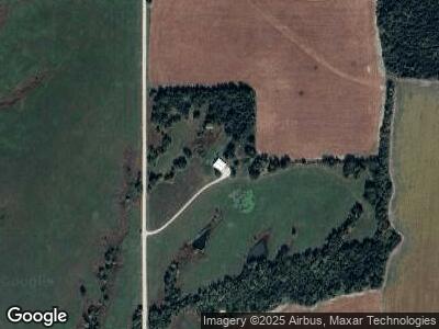
1616 Road V5 Neosho Rapids, KS 66864
Estimated Value: $163,305 - $172,000
2
Beds
1
Bath
912
Sq Ft
$184/Sq Ft
Est. Value
About This Home
This home is located at 1616 Road V5, Neosho Rapids, KS 66864 and is currently estimated at $167,653, approximately $183 per square foot. 1616 Road V5 is a home located in Lyon County with nearby schools including Neosho Rapids Elementary School and Hartford/Neosho Rapids Junior/Senior High School.
Ownership History
Date
Name
Owned For
Owner Type
Purchase Details
Closed on
Aug 18, 2021
Bought by
Fowler Kelly Justin and Fowler Amy Jo
Current Estimated Value
Purchase Details
Closed on
Jun 19, 2018
Sold by
Hennes Marilyn J Trust
Bought by
Fowler Kelly J
Home Financials for this Owner
Home Financials are based on the most recent Mortgage that was taken out on this home.
Original Mortgage
$90,000
Interest Rate
4.5%
Mortgage Type
New Conventional
Purchase Details
Closed on
Jun 1, 2000
Bought by
Hennes Marilyn J
Create a Home Valuation Report for This Property
The Home Valuation Report is an in-depth analysis detailing your home's value as well as a comparison with similar homes in the area
Home Values in the Area
Average Home Value in this Area
Purchase History
| Date | Buyer | Sale Price | Title Company |
|---|---|---|---|
| Fowler Kelly Justin | $80,300 | -- | |
| Fowler Kelly J | $112,500 | -- | |
| Hennes Marilyn J | $56,000 | -- |
Source: Public Records
Mortgage History
| Date | Status | Borrower | Loan Amount |
|---|---|---|---|
| Previous Owner | Fowler Kelly J | $90,000 |
Source: Public Records
Tax History Compared to Growth
Tax History
| Year | Tax Paid | Tax Assessment Tax Assessment Total Assessment is a certain percentage of the fair market value that is determined by local assessors to be the total taxable value of land and additions on the property. | Land | Improvement |
|---|---|---|---|---|
| 2024 | $1,486 | $12,631 | $1,799 | $10,832 |
| 2023 | $1,500 | $12,107 | $1,704 | $10,403 |
| 2022 | $1,289 | $10,598 | $1,748 | $8,850 |
| 2021 | $1,252 | $10,006 | $1,541 | $8,465 |
| 2020 | $1,220 | $10,258 | $1,342 | $8,916 |
| 2019 | $1,220 | $9,224 | $1,182 | $8,042 |
| 2018 | $1,156 | $14,160 | $6,597 | $7,563 |
| 2017 | $1,927 | $14,016 | $6,508 | $7,508 |
| 2016 | $1,809 | $13,665 | $6,404 | $7,261 |
| 2015 | -- | $13,451 | $5,881 | $7,570 |
| 2014 | -- | $11,577 | $5,241 | $6,336 |
Source: Public Records
Map
Nearby Homes
- 1929 Road 175
- 2242 Road 170
- 23 Locust Ln
- 209 W Maple Ave
- 109 W Maple Ave
- 33757 S Davis Rd
- 0 25th Rd
- 1223 Road 190
- 1047 Harcourt Dr
- 1213 Sunflower Way
- 811 Watson St
- 520 N Kansas St
- 1009 Riley Ave
- 1003 Riley Ave
- 915 Pheasant Ridge
- 5 S Barbie St
- 214 W 5th St
- 13 S Walnut Grove Dr
- 919 Lakeview St
- 712 E 9th Ave