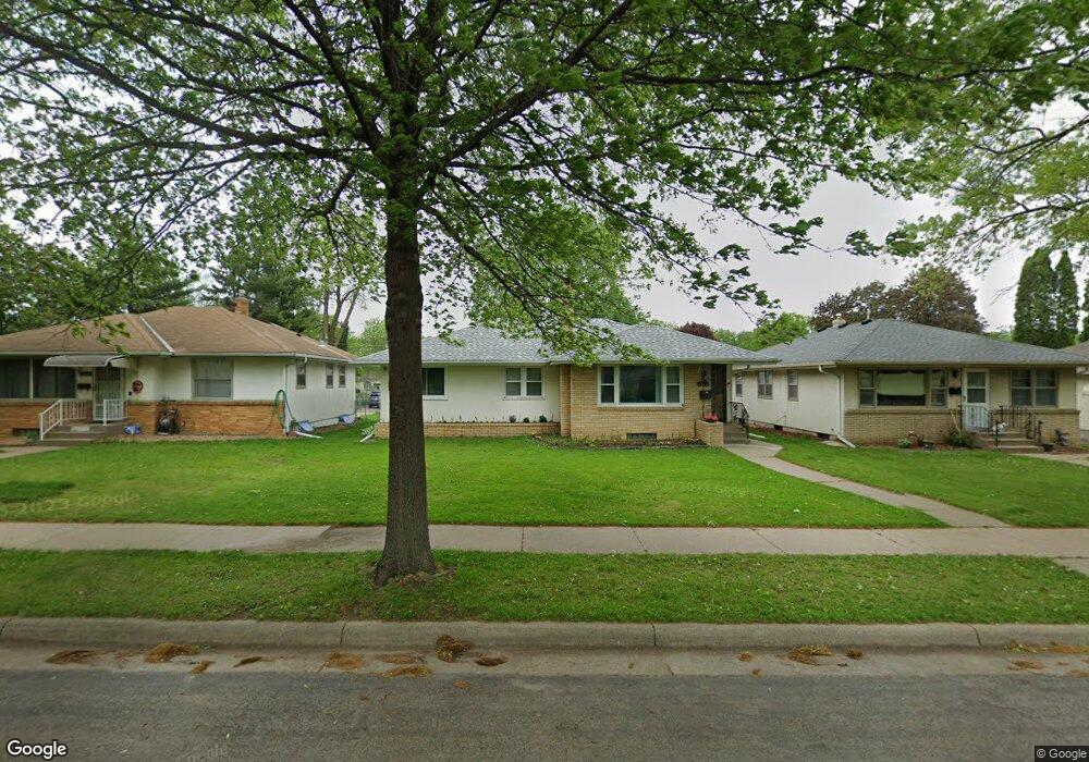
1617 6th St E Saint Paul, MN 55106
Battle Creek NeighborhoodEstimated Value: $287,000 - $305,000
3
Beds
2
Baths
1,620
Sq Ft
$180/Sq Ft
Est. Value
About This Home
This home is located at 1617 6th St E, Saint Paul, MN 55106 and is currently estimated at $292,383, approximately $180 per square foot. 1617 6th St E is a home located in Ramsey County with nearby schools including Eastern Heights Elementary School, Battle Creek Middle School, and Harding Senior High School.
Ownership History
Date
Name
Owned For
Owner Type
Purchase Details
Closed on
May 31, 2019
Sold by
Yang Shouayi
Bought by
Lee Lucy and Lee Bill
Current Estimated Value
Home Financials for this Owner
Home Financials are based on the most recent Mortgage that was taken out on this home.
Original Mortgage
$218,250
Outstanding Balance
$191,895
Interest Rate
4.1%
Mortgage Type
New Conventional
Estimated Equity
$100,488
Purchase Details
Closed on
Jan 8, 2014
Bought by
Yang Shouayi Shouayi
Home Financials for this Owner
Home Financials are based on the most recent Mortgage that was taken out on this home.
Original Mortgage
$135,000
Interest Rate
4.53%
Purchase Details
Closed on
Jun 28, 2013
Sold by
Ripley Fale N
Bought by
U S Bank National Association
Purchase Details
Closed on
Jan 15, 2000
Sold by
Downey Louise S
Bought by
Peterson Claudia G
Create a Home Valuation Report for This Property
The Home Valuation Report is an in-depth analysis detailing your home's value as well as a comparison with similar homes in the area
Home Values in the Area
Average Home Value in this Area
Purchase History
| Date | Buyer | Sale Price | Title Company |
|---|---|---|---|
| Lee Lucy | $225,000 | Ancona Title & Escrow | |
| Yang Shouayi Shouayi | $135,000 | -- | |
| U S Bank National Association | $99,926 | None Available | |
| Peterson Claudia G | $145,000 | -- |
Source: Public Records
Mortgage History
| Date | Status | Borrower | Loan Amount |
|---|---|---|---|
| Open | Lee Lucy | $218,250 | |
| Previous Owner | Yang Shouayi Shouayi | $135,000 |
Source: Public Records
Tax History
| Year | Tax Paid | Tax Assessment Tax Assessment Total Assessment is a certain percentage of the fair market value that is determined by local assessors to be the total taxable value of land and additions on the property. | Land | Improvement |
|---|---|---|---|---|
| 2025 | $4,270 | $298,000 | $46,600 | $251,400 |
| 2023 | $4,270 | $283,100 | $29,000 | $254,100 |
| 2022 | $3,792 | $287,300 | $29,000 | $258,300 |
| 2021 | $3,396 | $245,100 | $29,000 | $216,100 |
| 2020 | $3,144 | $229,200 | $29,000 | $200,200 |
| 2019 | $3,160 | $201,200 | $29,000 | $172,200 |
| 2018 | $2,706 | $190,400 | $29,000 | $161,400 |
| 2017 | $3,082 | $171,700 | $29,000 | $142,700 |
| 2016 | $3,046 | $0 | $0 | $0 |
| 2015 | $2,878 | $149,000 | $29,000 | $120,000 |
| 2014 | $2,212 | $0 | $0 | $0 |
Source: Public Records
Map
Nearby Homes
- 1651 4th St E
- 1704 Beech St
- 1683 Minnehaha Ave E
- 1497 Margaret St
- 1708 Minnehaha Ave E
- 1610 Fremont Ave
- 1685 Fremont Ave
- 1675 3rd St E
- 1685 Bush Ave
- 1631 Conway St
- 553 White Bear Ave N
- 1548 7th St E
- 1589 Euclid St
- 1769 Ross Ave
- 1803 Bush Ave E
- 1373 5th St E
- 1538 Wilson Ave
- 1836 Bush Ave E
- 1518 York Ave
- 449 Birmingham St
- 1617 1617 6th St E
- 1623 6th St E
- 1613 6th St E
- 1613 1613 6th St E
- 1623 1623 6th-Street-e
- 1627 6th St E
- 1609 6th St E
- 1622 Margaret St
- 1626 Margaret St
- 1618 Margaret St
- 1633 6th St E
- 1626 1626 Margaret-Street-
- 1630 Margaret St
- 1601 6th St E
- 1601 1601 6th St E
- 1620 6th St E
- 1608 Margaret St
- 1634 Margaret St
- 1634 1634 Margaret-Street-
- 1624 6th St E
Your Personal Tour Guide
Ask me questions while you tour the home.