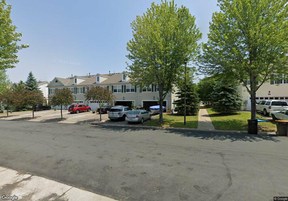
1617 Liberty Cir Shakopee, MN 55379
Estimated Value: $277,205 - $286,000
3
Beds
3
Baths
1,584
Sq Ft
$178/Sq Ft
Est. Value
About This Home
This home is located at 1617 Liberty Cir, Shakopee, MN 55379 and is currently estimated at $282,551, approximately $178 per square foot. 1617 Liberty Cir is a home located in Scott County with nearby schools including Jackson Elementary School, East Middle School, and Shakopee Senior High School.
Ownership History
Date
Name
Owned For
Owner Type
Purchase Details
Closed on
Jun 14, 2018
Sold by
Babcock Katie M
Bought by
Morris Heidi L and Morris Eric R
Current Estimated Value
Home Financials for this Owner
Home Financials are based on the most recent Mortgage that was taken out on this home.
Original Mortgage
$206,196
Outstanding Balance
$179,315
Interest Rate
4.75%
Mortgage Type
FHA
Estimated Equity
$103,236
Purchase Details
Closed on
Mar 24, 2010
Sold by
Roux Nicole Jane
Bought by
Babcock Katie M
Purchase Details
Closed on
Mar 4, 2005
Sold by
Hovstone Properties
Bought by
Majkrzak Nicole
Create a Home Valuation Report for This Property
The Home Valuation Report is an in-depth analysis detailing your home's value as well as a comparison with similar homes in the area
Home Values in the Area
Average Home Value in this Area
Purchase History
| Date | Buyer | Sale Price | Title Company |
|---|---|---|---|
| Morris Heidi L | $210,000 | Trademark Title Services Inc | |
| Babcock Katie M | $146,500 | -- | |
| Majkrzak Nicole | $182,370 | -- |
Source: Public Records
Mortgage History
| Date | Status | Borrower | Loan Amount |
|---|---|---|---|
| Open | Morris Heidi L | $206,196 |
Source: Public Records
Tax History Compared to Growth
Tax History
| Year | Tax Paid | Tax Assessment Tax Assessment Total Assessment is a certain percentage of the fair market value that is determined by local assessors to be the total taxable value of land and additions on the property. | Land | Improvement |
|---|---|---|---|---|
| 2025 | $2,512 | $268,900 | $76,100 | $192,800 |
| 2024 | $2,538 | $256,500 | $72,400 | $184,100 |
| 2023 | $2,598 | $247,800 | $71,000 | $176,800 |
| 2022 | $2,600 | $249,500 | $72,700 | $176,800 |
| 2021 | $2,366 | $217,400 | $57,000 | $160,400 |
| 2020 | $2,472 | $217,700 | $52,500 | $165,200 |
| 2019 | $2,262 | $202,200 | $44,400 | $157,800 |
| 2018 | $2,020 | $0 | $0 | $0 |
| 2016 | $1,862 | $0 | $0 | $0 |
| 2014 | -- | $0 | $0 | $0 |
Source: Public Records
Map
Nearby Homes
- 1507 Liberty Cir
- 1574 Liberty Cir Unit 2406
- 1646 Liberty Cir
- 627 Providence Dr
- 1534 Liberty Cir
- 1679 Nordland St
- 849 Providence Dr
- 820 Princeton Ave Unit 4505
- 915 Providence Dr Unit 1306
- 125 Pottok Ln
- 291 Appleblossom Ln
- 1688 Countryside Dr
- 1573 Creekside Ln
- 970 Westchester Ave
- 233 Dongola Ln
- 793 Lupine Ct
- 736 Barrington Dr E
- 137 Hickory Ln E
- 1530 Mcintosh Cir
- 726 Regent Dr
- 1613 Liberty Cir
- 1621 Liberty Cir
- 1609 Liberty Cir
- 1605 Liberty Cir
- 1625 Liberty Cir
- 1629 Liberty Cir
- 1628 Liberty St
- 1636 Liberty St
- 1624 Liberty St
- 1601 Liberty Cir
- 1633 Liberty Cir
- 1620 Liberty St
- 1640 Liberty St
- 1597 Liberty Cir
- 1637 Liberty Cir
- 1644 Liberty St
- 1610 Liberty Cir
- 1600 Liberty Cir
- 1648 Liberty St
- 1641 Liberty Cir