Estimated Value: $671,000 - $958,000
4
Beds
3
Baths
2,800
Sq Ft
$275/Sq Ft
Est. Value
About This Home
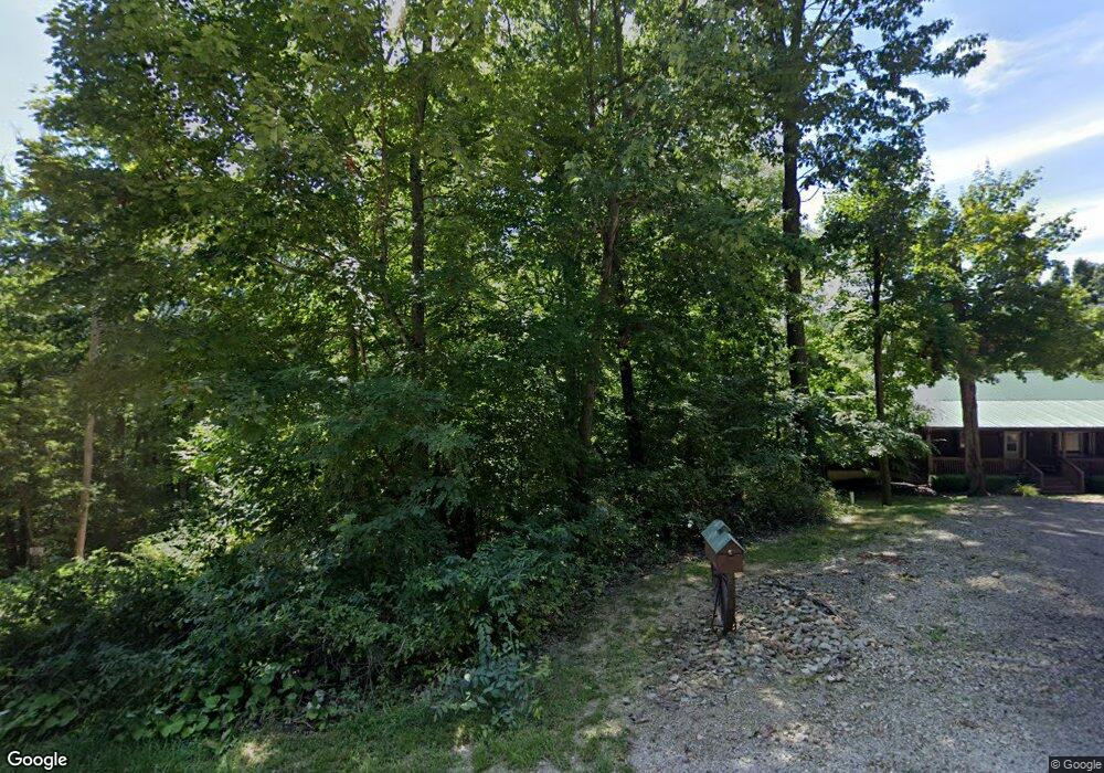
This home is located at 16172 Collison Rd, Logan, OH 43138 and is currently estimated at $770,531, approximately $275 per square foot. 16172 Collison Rd is a home located in Hocking County with nearby schools including Hocking Hills Elementary School.
Ownership History
Date
Name
Owned For
Owner Type
Purchase Details
Closed on
Oct 15, 2021
Sold by
Corban Hans M and Corban Emily R
Bought by
Red Hawks Cabins Llc
Current Estimated Value
Purchase Details
Closed on
Jan 18, 2008
Sold by
Corban Development Llc
Bought by
Corban Hans M
Purchase Details
Closed on
Apr 17, 2007
Sold by
Devol Clara Jane
Bought by
Corban Development Llc
Create a Home Valuation Report for This Property
The Home Valuation Report is an in-depth analysis detailing your home's value as well as a comparison with similar homes in the area
Purchase History
| Date | Buyer | Sale Price | Title Company |
|---|---|---|---|
| Red Hawks Cabins Llc | -- | None Available | |
| Corban Hans M | -- | None Available | |
| Corban Development Llc | $59,900 | None Available |
Source: Public Records
Tax History
| Year | Tax Paid | Tax Assessment Tax Assessment Total Assessment is a certain percentage of the fair market value that is determined by local assessors to be the total taxable value of land and additions on the property. | Land | Improvement |
|---|---|---|---|---|
| 2024 | $5,269 | $136,720 | $28,310 | $108,410 |
| 2023 | $5,269 | $136,720 | $28,310 | $108,410 |
| 2022 | $5,278 | $153,550 | $28,310 | $125,240 |
| 2021 | $4,054 | $98,610 | $20,210 | $78,400 |
| 2020 | $4,037 | $98,610 | $20,210 | $78,400 |
| 2019 | $4,038 | $98,610 | $20,210 | $78,400 |
| 2018 | $3,811 | $95,110 | $16,710 | $78,400 |
| 2017 | $3,742 | $95,110 | $16,710 | $78,400 |
| 2016 | $2,430 | $62,210 | $10,020 | $52,190 |
| 2015 | $3,026 | $74,710 | $27,610 | $47,100 |
| 2014 | $3,026 | $74,710 | $27,610 | $47,100 |
| 2013 | $3,039 | $74,710 | $27,610 | $47,100 |
Source: Public Records
Map
Nearby Homes
- 16160 Collison Rd
- 0 Hawthorne Way Unit 225040022
- 0 Hawthorne Way Unit Lot 8
- 29593 Big Pine Rd
- 0 Unger Rd Unit Lot H 225036416
- 17260 Krinn Unger Keck Rd
- 29838 Strawn Rd
- 30574 Strawn Rd
- 31044 Mays Rd
- 0 Nixon Rd
- 18596 Harble Griffith Rd
- 15155 Sauerkraut Rd
- 31440 Deerfield Dr
- 18682 Griffith Rd
- 18732 Griffith Rd
- 15050 Old McArthur Rd
- 18734 Griffith Rd
- 14121 State Route 664 S
- 0 Pleasant Valley Rd Unit 225037822
- 14180 Ohio 664
- 16180 Collison Rd
- 16154 Collison Rd
- 16236 Collison Rd
- 16280 Collison Rd
- 16332 Collison Rd
- 16211 Collison Rd
- 16259 Collison Rd
- 16068 Collison Rd
- 16291 Collison Rd
- 16370 Collison Rd
- 16135 Collison Rd
- 16020 Collison Rd
- 28937 Big Pine Rd
- 16390 Collison Rd
- 16367 Collison Rd
- 16839 State Route 664 S
- 28933 Big Pine Rd
- 16598 Collison Rd
- 16851 State Route 664 S
- 28845 Big Pine Rd