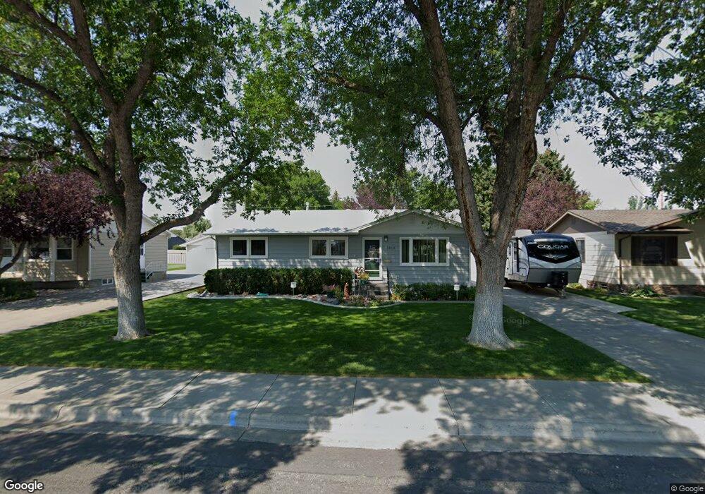
1619 Cook Ave Billings, MT 59102
East Central Billings NeighborhoodEstimated Value: $335,000 - $399,000
4
Beds
2
Baths
2,184
Sq Ft
$168/Sq Ft
Est. Value
About This Home
This home is located at 1619 Cook Ave, Billings, MT 59102 and is currently estimated at $367,097, approximately $168 per square foot. 1619 Cook Ave is a home located in Yellowstone County with nearby schools including Miles Avenue School, Lewis & Clark Junior High School, and Billings West High School.
Ownership History
Date
Name
Owned For
Owner Type
Purchase Details
Closed on
Jun 14, 2024
Sold by
Kile Dean S and Kile Carmen R
Bought by
Redler Jason Patrick and Redler Carol
Current Estimated Value
Home Financials for this Owner
Home Financials are based on the most recent Mortgage that was taken out on this home.
Original Mortgage
$374,700
Outstanding Balance
$370,099
Interest Rate
7.22%
Mortgage Type
VA
Estimated Equity
-$3,002
Purchase Details
Closed on
Aug 29, 2008
Sold by
Heiser Buford M and Heiser Barbara J
Bought by
Kile Dean S and Kile Carmen R
Home Financials for this Owner
Home Financials are based on the most recent Mortgage that was taken out on this home.
Original Mortgage
$138,000
Interest Rate
6.27%
Mortgage Type
Purchase Money Mortgage
Create a Home Valuation Report for This Property
The Home Valuation Report is an in-depth analysis detailing your home's value as well as a comparison with similar homes in the area
Home Values in the Area
Average Home Value in this Area
Purchase History
| Date | Buyer | Sale Price | Title Company |
|---|---|---|---|
| Redler Jason Patrick | -- | Liberty Title & Land Co | |
| Kile Dean S | -- | St |
Source: Public Records
Mortgage History
| Date | Status | Borrower | Loan Amount |
|---|---|---|---|
| Open | Redler Jason Patrick | $374,700 | |
| Previous Owner | Kile Dean S | $138,000 |
Source: Public Records
Tax History Compared to Growth
Tax History
| Year | Tax Paid | Tax Assessment Tax Assessment Total Assessment is a certain percentage of the fair market value that is determined by local assessors to be the total taxable value of land and additions on the property. | Land | Improvement |
|---|---|---|---|---|
| 2025 | $2,762 | $351,500 | $47,584 | $303,916 |
| 2024 | $2,762 | $287,700 | $44,092 | $243,608 |
| 2023 | $2,762 | $287,700 | $44,092 | $243,608 |
| 2022 | $2,077 | $220,000 | $0 | $0 |
| 2021 | $2,297 | $220,000 | $0 | $0 |
| 2020 | $2,471 | $227,000 | $0 | $0 |
| 2019 | $2,357 | $227,000 | $0 | $0 |
| 2018 | $2,160 | $203,100 | $0 | $0 |
| 2017 | $1,880 | $203,100 | $0 | $0 |
| 2016 | $1,876 | $182,700 | $0 | $0 |
| 2015 | $1,834 | $182,700 | $0 | $0 |
| 2014 | $1,754 | $93,015 | $0 | $0 |
Source: Public Records
Map
Nearby Homes
- 305 17th St W
- 28 19th St W
- 16 19th St W
- 621 Nelson Dr
- 1604 Wyoming Ave
- 1537 Wyoming Ave Unit D
- 1231 Saint Johns Ave
- 1346 Broadwater Ave
- 1540 Yellowstone Ave Unit D
- 1540 Clark Ave
- 126 Ardmore Dr
- 1212 Concord Dr
- 240 Birchwood Dr
- 1640 Lewis Ave
- 1720 Lewis Ave
- 1815 Clark Ave
- 1310 Yellowstone Ave Unit 6
- 1310 Yellowstone Ave Unit 11
- 1310 Yellowstone Ave Unit 16
- 143 S Santa fe Dr