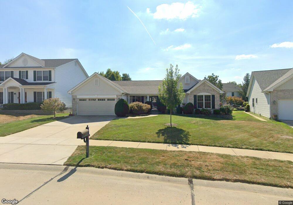
1619 Wainscott Ct O Fallon, MO 63366
Estimated Value: $425,450 - $493,000
3
Beds
3
Baths
2,329
Sq Ft
$197/Sq Ft
Est. Value
About This Home
This home is located at 1619 Wainscott Ct, O Fallon, MO 63366 and is currently estimated at $459,113, approximately $197 per square foot. 1619 Wainscott Ct is a home located in St. Charles County with nearby schools including Westhoff Elementary School, Fort Zumwalt North Middle School, and Fort Zumwalt North High School.
Ownership History
Date
Name
Owned For
Owner Type
Purchase Details
Closed on
Aug 21, 2003
Sold by
Tr Hughes Inc
Bought by
Sullivan Kenneth J and Sullivan Julie A
Current Estimated Value
Home Financials for this Owner
Home Financials are based on the most recent Mortgage that was taken out on this home.
Original Mortgage
$179,224
Outstanding Balance
$80,357
Interest Rate
5.87%
Mortgage Type
Purchase Money Mortgage
Estimated Equity
$378,756
Create a Home Valuation Report for This Property
The Home Valuation Report is an in-depth analysis detailing your home's value as well as a comparison with similar homes in the area
Home Values in the Area
Average Home Value in this Area
Purchase History
| Date | Buyer | Sale Price | Title Company |
|---|---|---|---|
| Sullivan Kenneth J | $224,030 | -- |
Source: Public Records
Mortgage History
| Date | Status | Borrower | Loan Amount |
|---|---|---|---|
| Open | Sullivan Kenneth J | $179,224 |
Source: Public Records
Tax History
| Year | Tax Paid | Tax Assessment Tax Assessment Total Assessment is a certain percentage of the fair market value that is determined by local assessors to be the total taxable value of land and additions on the property. | Land | Improvement |
|---|---|---|---|---|
| 2025 | $5,076 | $83,707 | -- | -- |
| 2023 | $5,078 | $76,922 | $0 | $0 |
| 2022 | $4,391 | $61,845 | $0 | $0 |
| 2021 | $4,394 | $61,845 | $0 | $0 |
| 2020 | $4,088 | $55,689 | $0 | $0 |
| 2019 | $4,098 | $55,689 | $0 | $0 |
| 2018 | $4,075 | $52,877 | $0 | $0 |
| 2017 | $4,029 | $52,877 | $0 | $0 |
| 2016 | $3,837 | $50,162 | $0 | $0 |
| 2015 | $3,567 | $50,162 | $0 | $0 |
| 2014 | $3,294 | $45,535 | $0 | $0 |
Source: Public Records
Map
Nearby Homes
- 487 Chatham Dr
- 1818 Sapling Dr
- 214 Maryland Dr Unit 26B
- 1805 Sapling Dr
- 231 England Dr
- 730 Homerun Dr Unit 76N
- 1358 Deerfield Estates Dr
- 2837 Grand Slam Dr
- 811 Homefield Grove Ct
- 634 Homerun Dr Unit 34N
- 632 Homerun Dr Unit 33N
- 17 Homefield Gardens Dr
- 1612 Homefield Meadows Dr
- 1102 Danielle Elizabeth Ct
- 31 Piepers Glen Ct
- 765 Koch Rd
- 1020 Ashfield Ln
- 6 S Boxwood Ln
- 3.59 Acres Matteson Blvd
- 7.19 Acres Matteson Blvd
- 1615 Wainscott Ct
- 1623 Wainscott Ct
- 708 Jamesport Dr
- 710 Jamesport Dr
- 706 Jamesport Dr
- 1611 Wainscott Ct
- 1627 Wainscott Ct
- 712 Jamesport Dr
- 1626 Wainscott Ct
- 704 Jamesport Dr
- 1607 Wainscott Ct
- 1402 Noyack Dr
- 1405 Noyack Dr
- 1631 Wainscott Ct
- 716 Jamesport Dr
- 702 Jamesport Dr
- 709 Jamesport Dr
- 722 Jamesport Dr
- 711 Jamesport Dr
- 707 Jamesport Dr
Your Personal Tour Guide
Ask me questions while you tour the home.