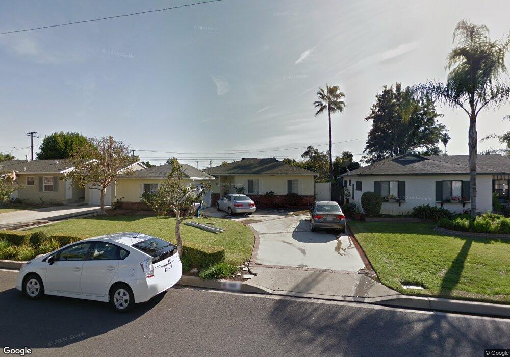
162 E Hurst St Covina, CA 91723
Estimated Value: $788,648 - $890,000
3
Beds
2
Baths
1,537
Sq Ft
$550/Sq Ft
Est. Value
About This Home
This home is located at 162 E Hurst St, Covina, CA 91723 and is currently estimated at $844,912, approximately $549 per square foot. 162 E Hurst St is a home located in Los Angeles County with nearby schools including Cypress Elementary School, Las Palmas Middle School, and Northview High School.
Ownership History
Date
Name
Owned For
Owner Type
Purchase Details
Closed on
May 21, 1998
Sold by
Lokker Governale Kathleen
Bought by
Lokker Jeffrey C and Lokker Denise
Current Estimated Value
Home Financials for this Owner
Home Financials are based on the most recent Mortgage that was taken out on this home.
Original Mortgage
$134,000
Interest Rate
7.13%
Purchase Details
Closed on
Oct 30, 1995
Sold by
Governale Joseph A
Bought by
Lokker Kathleen Governale
Create a Home Valuation Report for This Property
The Home Valuation Report is an in-depth analysis detailing your home's value as well as a comparison with similar homes in the area
Home Values in the Area
Average Home Value in this Area
Purchase History
| Date | Buyer | Sale Price | Title Company |
|---|---|---|---|
| Lokker Jeffrey C | -- | United Title Company | |
| Lokker Kathleen Governale | -- | -- |
Source: Public Records
Mortgage History
| Date | Status | Borrower | Loan Amount |
|---|---|---|---|
| Closed | Lokker Jeffrey C | $134,000 |
Source: Public Records
Tax History
| Year | Tax Paid | Tax Assessment Tax Assessment Total Assessment is a certain percentage of the fair market value that is determined by local assessors to be the total taxable value of land and additions on the property. | Land | Improvement |
|---|---|---|---|---|
| 2025 | $3,455 | $252,257 | $106,428 | $145,829 |
| 2024 | $3,455 | $247,312 | $104,342 | $142,970 |
| 2023 | $3,406 | $242,464 | $102,297 | $140,167 |
| 2022 | $3,362 | $237,711 | $100,292 | $137,419 |
| 2021 | $3,309 | $233,051 | $98,326 | $134,725 |
| 2019 | $3,237 | $226,140 | $95,410 | $130,730 |
| 2018 | $3,044 | $221,707 | $93,540 | $128,167 |
| 2016 | $2,874 | $213,099 | $89,908 | $123,191 |
| 2015 | $2,794 | $209,899 | $88,558 | $121,341 |
| 2014 | $2,761 | $205,789 | $86,824 | $118,965 |
Source: Public Records
Map
Nearby Homes
- 709 Cara Ln
- 704 Cara Ln
- 658 Calamansi Dr
- 216 W Merlot Dr Unit 58
- 217 W Zinfandel Dr
- 129 Dove Landing
- 125 Dove Landing
- 1139 Orchard Dr
- 565 E Benbow St
- 853 N 5th Ave
- 544 E Rue Royale St
- 1178 Taroco Dr
- 523 E Covina Blvd
- 1252 N Citrus Ave Unit 2
- 428 Lemonade Place
- 735 Marmalade Place
- 733 Marmalade Place
- 745 Marmalade Place
- 342 Hollenbeck
- 137 S 3rd Ave
Your Personal Tour Guide
Ask me questions while you tour the home.