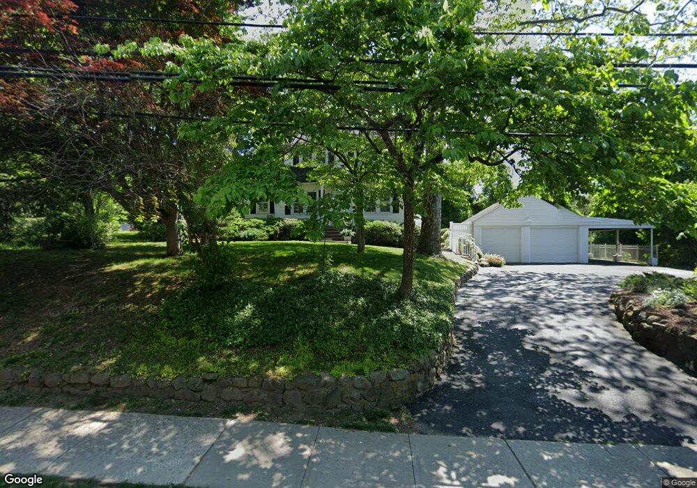
162 Maple St New Providence, NJ 07974
Estimated Value: $664,738 - $893,000
--
Bed
--
Bath
1,612
Sq Ft
$505/Sq Ft
Est. Value
About This Home
This home is located at 162 Maple St, New Providence, NJ 07974 and is currently estimated at $813,685, approximately $504 per square foot. 162 Maple St is a home located in Union County with nearby schools including New Providence High School, The Academy of Our Lady of Peace, and Oak Knoll School of the Holy Child.
Ownership History
Date
Name
Owned For
Owner Type
Purchase Details
Closed on
Jan 3, 2012
Sold by
Ciocci Antoinette M
Bought by
Panella Nancy M
Current Estimated Value
Purchase Details
Closed on
Nov 15, 2011
Sold by
Panella Mary
Bought by
Panella Nancy
Purchase Details
Closed on
Dec 28, 2001
Sold by
Panella Jospeh
Bought by
Panella Nancy and Panella Mary
Create a Home Valuation Report for This Property
The Home Valuation Report is an in-depth analysis detailing your home's value as well as a comparison with similar homes in the area
Home Values in the Area
Average Home Value in this Area
Purchase History
| Date | Buyer | Sale Price | Title Company |
|---|---|---|---|
| Panella Nancy M | -- | Chicago Title Insurance Co | |
| Panella Nancy | $250,000 | -- | |
| Panella Nancy | -- | -- |
Source: Public Records
Tax History Compared to Growth
Tax History
| Year | Tax Paid | Tax Assessment Tax Assessment Total Assessment is a certain percentage of the fair market value that is determined by local assessors to be the total taxable value of land and additions on the property. | Land | Improvement |
|---|---|---|---|---|
| 2025 | $12,317 | $238,600 | $138,200 | $100,400 |
| 2024 | $11,947 | $238,600 | $138,200 | $100,400 |
| 2023 | $11,947 | $238,600 | $138,200 | $100,400 |
| 2022 | $11,782 | $238,600 | $138,200 | $100,400 |
| 2021 | $11,696 | $238,600 | $138,200 | $100,400 |
| 2020 | $11,691 | $238,600 | $138,200 | $100,400 |
| 2019 | $11,620 | $238,600 | $138,200 | $100,400 |
| 2018 | $11,560 | $238,600 | $138,200 | $100,400 |
| 2017 | $11,372 | $238,600 | $138,200 | $100,400 |
| 2016 | $11,212 | $238,600 | $138,200 | $100,400 |
| 2015 | $11,057 | $238,600 | $138,200 | $100,400 |
| 2014 | $10,890 | $238,600 | $138,200 | $100,400 |
Source: Public Records
Map
Nearby Homes
- 54 Badgley Dr
- 72 Central Ave
- 106 Stoneridge Rd
- 45 the Fellsway
- 34 Grant Ave
- 19 Division Ave
- 52 Greenwood Rd
- 32 Marion Ave
- 340 Livingston Ave
- 1200 Springfield Ave Unit 1B
- 16 Riverbend Ct
- 6 Joanna Way
- 17 Valley View Ave
- 197 Elkwood Ave
- 282 South St
- 20 High St
- 709 Springfield Ave Unit 4
- 709 Springfield Ave Unit 3
- 140 Countryside Dr
- 43 Passaic Ave