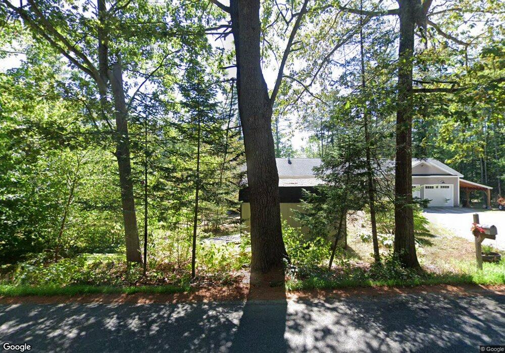
162 Shaker Jerry Rd Moultonborough, NH 03254
Estimated Value: $520,000 - $1,234,000
3
Beds
1
Bath
792
Sq Ft
$960/Sq Ft
Est. Value
About This Home
This home is located at 162 Shaker Jerry Rd, Moultonborough, NH 03254 and is currently estimated at $760,216, approximately $959 per square foot. 162 Shaker Jerry Rd is a home located in Carroll County with nearby schools including Moultonborough Central School and Moultonborough Academy High School.
Ownership History
Date
Name
Owned For
Owner Type
Purchase Details
Closed on
Nov 17, 2021
Sold by
Tyler Group T Llc
Bought by
Lauricella Paula R and Lauricella Dennis J
Current Estimated Value
Purchase Details
Closed on
Nov 4, 2009
Sold by
Baker Douglas A and Baker Patricia E
Bought by
Lauricella Dennis J and Lauricella Paula
Home Financials for this Owner
Home Financials are based on the most recent Mortgage that was taken out on this home.
Original Mortgage
$84,500
Interest Rate
5.06%
Mortgage Type
Purchase Money Mortgage
Create a Home Valuation Report for This Property
The Home Valuation Report is an in-depth analysis detailing your home's value as well as a comparison with similar homes in the area
Home Values in the Area
Average Home Value in this Area
Purchase History
| Date | Buyer | Sale Price | Title Company |
|---|---|---|---|
| Lauricella Paula R | $44,933 | None Available | |
| Lauricella Dennis J | $94,500 | -- |
Source: Public Records
Mortgage History
| Date | Status | Borrower | Loan Amount |
|---|---|---|---|
| Previous Owner | Lauricella Dennis J | $84,500 |
Source: Public Records
Tax History Compared to Growth
Tax History
| Year | Tax Paid | Tax Assessment Tax Assessment Total Assessment is a certain percentage of the fair market value that is determined by local assessors to be the total taxable value of land and additions on the property. | Land | Improvement |
|---|---|---|---|---|
| 2024 | $2,449 | $433,500 | $106,200 | $327,300 |
| 2023 | $2,169 | $380,500 | $81,300 | $299,200 |
| 2022 | $1,647 | $344,500 | $73,200 | $271,300 |
| 2021 | $2,047 | $293,300 | $59,800 | $233,500 |
| 2020 | $1,717 | $240,800 | $59,800 | $181,000 |
| 2019 | $1,775 | $248,200 | $59,800 | $188,400 |
| 2018 | $1,869 | $242,100 | $55,400 | $186,700 |
| 2017 | $1,836 | $223,300 | $55,400 | $167,900 |
| 2016 | $1,397 | $159,800 | $55,400 | $104,400 |
| 2015 | $660 | $73,300 | $55,400 | $17,900 |
| 2014 | $656 | $74,000 | $55,400 | $18,600 |
| 2013 | $643 | $74,000 | $55,400 | $18,600 |
Source: Public Records
Map
Nearby Homes
- 29 Kona Farm Rd
- 5 Ferry Rd
- 21 Orton Ln
- 11 Geery Ln
- 122 Toltec Point Rd
- 244 Wentworth Shores Rd
- 203 Krainewood Dr
- 33 Blackadar Ln
- 2 Little Badger Island
- 31 Rays Way
- 41 Saint Gallen St
- 4 Schneider Rd
- 27 First Point Rd
- 00 Grande St Unit 44
- 30 Leopards Leap
- 22 Tiger Trail
- 72 Sundorf St
- 00 Sundorf St Unit 117
- 28 Moose Walk
- 22 Sundorf St
- 104 Shaker Jerry Rd
- 148 Shaker Jerry Rd
- 163 Shaker Jerry Rd
- 171 Shaker Jerry Rd
- 167 Shaker Jerry Rd
- 144 Shaker Jerry Rd
- 5 Oakwood Dr
- 136 Shaker Jerry Rd
- 11, 12 & 17 Oakwood Dr
- 181 Shaker Jerry Rd
- 133 Shaker Jerry Rd
- 18 38 Whittier Unit 18 38
- 18 39 Whittier Unit 18 39
- Lot 44/18 Lincoln
- 00 Cove
- 28 Harilla Landing Unit 28
- 16 (#25) Long Island Unit 25
- 12 Summit View
- 125 Arcadia Campground Unit 125
- 2 Round Island