162 Stornoway Dr E Columbus, OH 43213
Olde Orchard NeighborhoodEstimated Value: $150,000 - $170,000
2
Beds
2
Baths
1,240
Sq Ft
$130/Sq Ft
Est. Value
About This Home
This home is located at 162 Stornoway Dr E, Columbus, OH 43213 and is currently estimated at $161,242, approximately $130 per square foot. 162 Stornoway Dr E is a home located in Franklin County with nearby schools including Olde Orchard Elementary School, Sherwood Middle School, and Walnut Ridge High School.
Ownership History
Date
Name
Owned For
Owner Type
Purchase Details
Closed on
Jun 10, 2010
Sold by
Tarshis Edit
Bought by
Tarshis Edit and Ciesta Living Revocable Trust
Current Estimated Value
Purchase Details
Closed on
Jun 26, 1997
Sold by
Farrington Larry K and Farrington Ella F
Bought by
Aida Pivnik Yefin and Aida Khalfina
Home Financials for this Owner
Home Financials are based on the most recent Mortgage that was taken out on this home.
Original Mortgage
$35,600
Outstanding Balance
$4,611
Interest Rate
8.5%
Estimated Equity
$156,631
Purchase Details
Closed on
Oct 1, 1984
Create a Home Valuation Report for This Property
The Home Valuation Report is an in-depth analysis detailing your home's value as well as a comparison with similar homes in the area
Home Values in the Area
Average Home Value in this Area
Purchase History
| Date | Buyer | Sale Price | Title Company |
|---|---|---|---|
| Tarshis Edit | -- | None Available | |
| Aida Pivnik Yefin | $47,500 | Foundation Title Agency Inc | |
| -- | $47,400 | -- |
Source: Public Records
Mortgage History
| Date | Status | Borrower | Loan Amount |
|---|---|---|---|
| Open | Aida Pivnik Yefin | $35,600 |
Source: Public Records
Tax History
| Year | Tax Paid | Tax Assessment Tax Assessment Total Assessment is a certain percentage of the fair market value that is determined by local assessors to be the total taxable value of land and additions on the property. | Land | Improvement |
|---|---|---|---|---|
| 2025 | $2,193 | $47,850 | $9,980 | $37,870 |
| 2024 | $2,193 | $47,850 | $9,980 | $37,870 |
| 2023 | $2,165 | $47,850 | $9,980 | $37,870 |
| 2022 | $1,239 | $23,310 | $3,640 | $19,670 |
| 2021 | $1,241 | $23,310 | $3,640 | $19,670 |
| 2020 | $1,243 | $23,310 | $3,640 | $19,670 |
| 2019 | $1,114 | $17,920 | $2,800 | $15,120 |
| 2018 | $1,166 | $17,920 | $2,800 | $15,120 |
| 2017 | $1,114 | $17,920 | $2,800 | $15,120 |
| 2016 | $1,339 | $19,710 | $2,770 | $16,940 |
| 2015 | $1,219 | $19,710 | $2,770 | $16,940 |
| 2014 | $1,222 | $19,710 | $2,770 | $16,940 |
| 2013 | $709 | $23,170 | $3,255 | $19,915 |
Source: Public Records
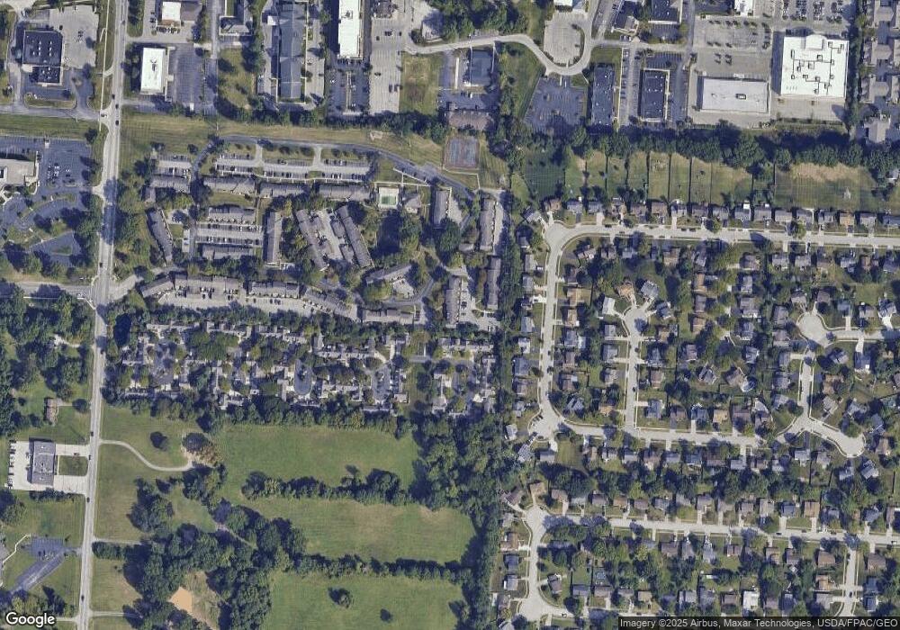
Map
Nearby Homes
- 117 Stornoway Dr E
- 6415 Old Church Way
- 85 Stornoway Dr W Unit 85
- 142 Villamere Dr Unit 6
- 445 Hawthorne Place
- 458 Brice Rd
- 6560 Schenk Ave
- 6571 Schenk Ave
- 541 Woodingham Place Unit 2-C
- 544 Waring Way
- 6279 Braiden Ct Unit 10B
- 5909 Whitman Rd
- 622 Brice Rd
- 324 Benedetti Ave
- 71 Villa Side Ln
- 6033 McNaughten Grove Ln
- 362 Hoskins Way
- 6162 Stockton Trail Way
- 787 Persimmon Place
- 5825 Bastille Place Unit 69
- 160 Stornoway Dr E
- 164 Stornoway Dr E Unit 164
- 158 Stornoway Dr E
- 166 Stornoway Dr E Unit 166
- 156 Stornoway Dr E
- 154 Stornoway Dr E Unit 154
- 6280 McNaughten Place Ln Unit N40
- 150 Stornoway Dr E
- 6231 Stornoway Dr S
- 148 Stornoway Dr E
- 6284 McNaughten Place Ln Unit N38
- 144 Stornoway Dr E
- 146 Stornoway Dr E
- 6286 McNaughten Place Ln Unit N37
- 6229 Stornoway Dr S
- 142 Stornoway Dr E
- 140 Stornoway Dr E
- 6227 Stornoway Dr S Unit 6227
- 6276 McNaughten Place Ln Unit O41
- 6294 McNaughten Place Ln Unit M36
Your Personal Tour Guide
Ask me questions while you tour the home.