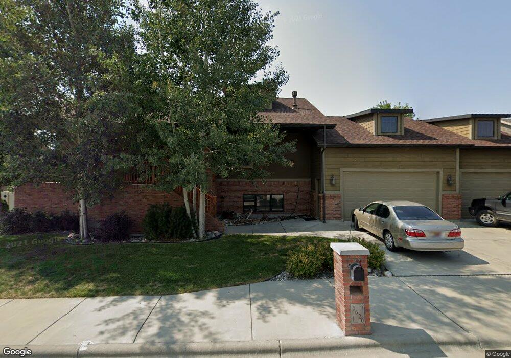
1620 Kit Ln W Billings, MT 59106
West Shiloh NeighborhoodEstimated Value: $545,000 - $586,000
4
Beds
3
Baths
1,648
Sq Ft
$342/Sq Ft
Est. Value
About This Home
This home is located at 1620 Kit Ln W, Billings, MT 59106 and is currently estimated at $562,960, approximately $341 per square foot. 1620 Kit Ln W is a home located in Yellowstone County with nearby schools including Meadowlark School, Ben Steele Middle School, and Billings West High School.
Ownership History
Date
Name
Owned For
Owner Type
Purchase Details
Closed on
Dec 7, 2009
Sold by
Sheridan Paul T
Bought by
Ruggles David A and Ruggles Audrey I
Current Estimated Value
Home Financials for this Owner
Home Financials are based on the most recent Mortgage that was taken out on this home.
Original Mortgage
$120,000
Outstanding Balance
$78,632
Interest Rate
4.99%
Mortgage Type
New Conventional
Estimated Equity
$484,328
Purchase Details
Closed on
Feb 27, 2009
Sold by
Kenmark Corporation
Bought by
Sheridan Paul T
Create a Home Valuation Report for This Property
The Home Valuation Report is an in-depth analysis detailing your home's value as well as a comparison with similar homes in the area
Home Values in the Area
Average Home Value in this Area
Purchase History
| Date | Buyer | Sale Price | Title Company |
|---|---|---|---|
| Ruggles David A | -- | None Available | |
| Sheridan Paul T | -- | None Available |
Source: Public Records
Mortgage History
| Date | Status | Borrower | Loan Amount |
|---|---|---|---|
| Open | Ruggles David A | $120,000 |
Source: Public Records
Tax History Compared to Growth
Tax History
| Year | Tax Paid | Tax Assessment Tax Assessment Total Assessment is a certain percentage of the fair market value that is determined by local assessors to be the total taxable value of land and additions on the property. | Land | Improvement |
|---|---|---|---|---|
| 2025 | $4,843 | $597,400 | $98,061 | $499,339 |
| 2024 | $4,843 | $510,500 | $91,012 | $419,488 |
| 2023 | $4,830 | $510,500 | $91,012 | $419,488 |
| 2022 | $3,746 | $396,700 | $0 | $0 |
| 2021 | $4,072 | $396,700 | $0 | $0 |
| 2020 | $4,173 | $390,200 | $0 | $0 |
| 2019 | $3,979 | $390,200 | $0 | $0 |
| 2018 | $3,913 | $376,600 | $0 | $0 |
| 2017 | $3,801 | $376,600 | $0 | $0 |
| 2016 | $3,544 | $354,600 | $0 | $0 |
| 2015 | $3,465 | $354,600 | $0 | $0 |
| 2014 | $3,405 | $185,818 | $0 | $0 |
Source: Public Records
Map
Nearby Homes
- 1517 Kit Ln W
- 1616 58th St W
- 5912 Foxtail Loop W
- 5808 Foxtail Loop S
- xxxx 60th St W
- 1128 Buffalo Crossing Dr
- 1216 Buffalo Crossing Dr
- 1210 Buffalo Crossing Dr
- 1134 Buffalo Crossing Dr
- 613 Candle Light Ln
- 5222 Camp Ln
- 5209 Camp Ln
- 6105 Colton Blvd
- 1130 Buffalo Crossing Dr
- 5406 Castle Stone Ave
- 5412 Summer Stone Ave
- 5718 Bear Track Trail
- Block 1 Lot 5 Hawk Creek Ave
- 808 Sandcherry St
- 2605 62nd St W