16201 Belsay Ct Parker, CO 80134
Stonegate NeighborhoodEstimated Value: $927,000 - $1,117,000
5
Beds
5
Baths
4,695
Sq Ft
$210/Sq Ft
Est. Value
About This Home
This home is located at 16201 Belsay Ct, Parker, CO 80134 and is currently estimated at $983,608, approximately $209 per square foot. 16201 Belsay Ct is a home located in Douglas County with nearby schools including Mammoth Heights Elementary School, Sierra Middle School, and Chaparral High School.
Ownership History
Date
Name
Owned For
Owner Type
Purchase Details
Closed on
Aug 1, 2011
Sold by
Williams R Calvin and Williams Kimberli T
Bought by
Frye Tasha M
Current Estimated Value
Home Financials for this Owner
Home Financials are based on the most recent Mortgage that was taken out on this home.
Original Mortgage
$390,000
Interest Rate
4.53%
Mortgage Type
Unknown
Purchase Details
Closed on
May 13, 2005
Sold by
Infinity Communities At Stonegate Llc
Bought by
Williams Ii Calvin Williams R and Williams Kimberli T
Purchase Details
Closed on
Dec 28, 2000
Sold by
Westerra Stonegate Llc
Bought by
Infinity Communities At Stonegate Llc
Create a Home Valuation Report for This Property
The Home Valuation Report is an in-depth analysis detailing your home's value as well as a comparison with similar homes in the area
Home Values in the Area
Average Home Value in this Area
Purchase History
| Date | Buyer | Sale Price | Title Company |
|---|---|---|---|
| Frye Tasha M | $490,000 | None Available | |
| Williams Ii Calvin Williams R | $483,000 | -- | |
| Infinity Communities At Stonegate Llc | $6,686,400 | -- |
Source: Public Records
Mortgage History
| Date | Status | Borrower | Loan Amount |
|---|---|---|---|
| Closed | Frye Tasha M | $390,000 |
Source: Public Records
Tax History Compared to Growth
Tax History
| Year | Tax Paid | Tax Assessment Tax Assessment Total Assessment is a certain percentage of the fair market value that is determined by local assessors to be the total taxable value of land and additions on the property. | Land | Improvement |
|---|---|---|---|---|
| 2024 | $8,279 | $67,130 | $9,540 | $57,590 |
| 2023 | $8,337 | $67,130 | $9,540 | $57,590 |
| 2022 | $5,936 | $44,840 | $6,400 | $38,440 |
| 2021 | $6,152 | $44,840 | $6,400 | $38,440 |
| 2020 | $6,040 | $45,160 | $6,840 | $38,320 |
| 2019 | $6,054 | $45,160 | $6,840 | $38,320 |
| 2018 | $5,547 | $41,000 | $6,510 | $34,490 |
| 2017 | $5,291 | $41,000 | $6,510 | $34,490 |
| 2016 | $5,534 | $43,000 | $5,570 | $37,430 |
| 2015 | $2,810 | $43,000 | $5,570 | $37,430 |
| 2014 | $5,601 | $39,210 | $5,410 | $33,800 |
Source: Public Records
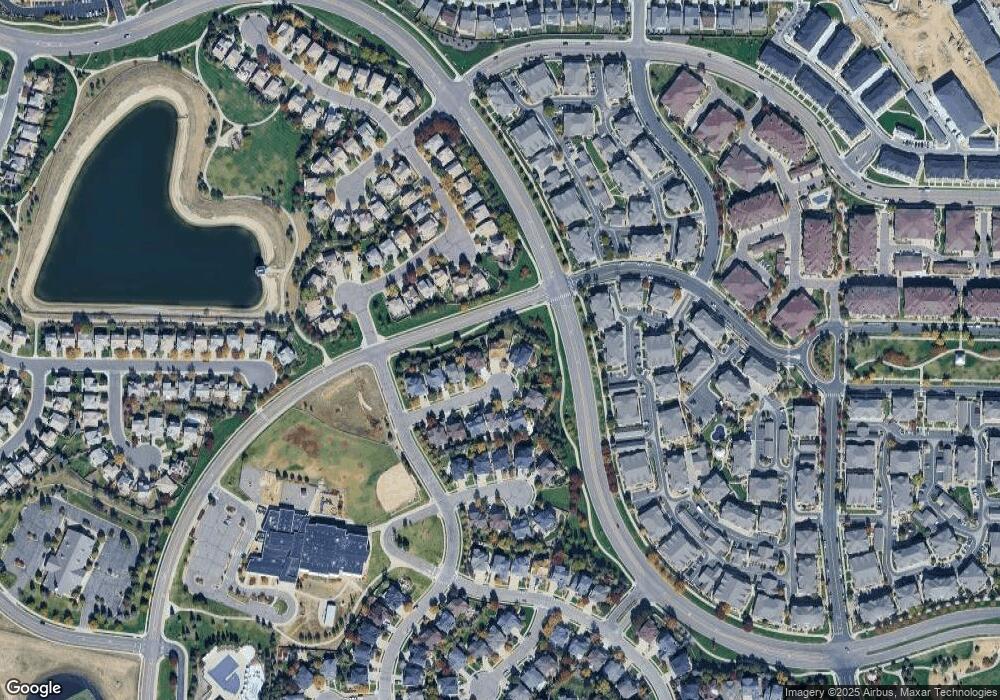
Map
Nearby Homes
- 9335 Amison Cir Unit 101
- 9444 Ashbury Cir Unit 201
- 9350 Amison Cir Unit 103
- 9416 Ashbury Cir Unit 102
- 9363 Amison Cir Unit 104
- 9363 Amison Cir Unit 106
- 9315 Amison Cir Unit 106
- 9306 Amison Cir Unit 103
- 9311 Amison Cir Unit 204
- 9397 Las Ramblas Ct Unit C
- 9370 Las Ramblas Ct Unit G
- 9370 Las Ramblas Ct Unit R
- 9551 Longford Way
- 9551 Pearl Cir Unit 202
- 9531 Pearl Cir Unit 203
- 16351 Askins Loop
- 16359 Askins Loop
- 9390 Accord Ln Unit 105
- 9585 Pearl Cir Unit 203
- 16055 Alberta Dr
- 16185 Belsay Ct
- 16215 Belsay Ct
- 16165 Belsay Ct
- 16220 Belsay Ct
- 16145 Belsay Ct
- 9350 Branham Dr
- 16190 Belsay Ct
- 9354 Branham Dr
- 16204 Belsay Ct
- 16170 Belsay Ct
- 16125 Belsay Ct
- 9362 Branham Dr
- 16150 Belsay Ct
- 9366 Branham Dr
- 9346 Branham Dr
- 9370 Branham Dr
- 16130 Belsay Ct
- 16225 Cadland Ct
- 9374 Branham Dr
- 16181 Cadland Ct