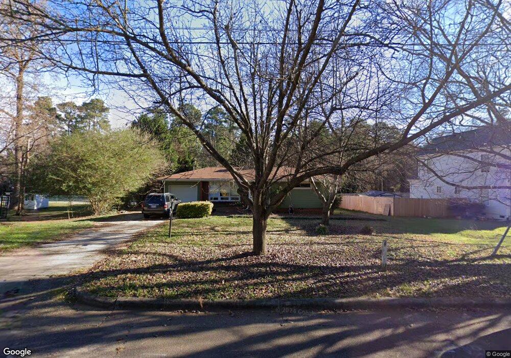
1621 Battery Dr Raleigh, NC 27610
Battery Heights NeighborhoodEstimated Value: $452,000 - $511,000
3
Beds
3
Baths
1,710
Sq Ft
$285/Sq Ft
Est. Value
About This Home
This home is located at 1621 Battery Dr, Raleigh, NC 27610 and is currently estimated at $486,967, approximately $284 per square foot. 1621 Battery Dr is a home located in Wake County with nearby schools including Central Wake High School.
Ownership History
Date
Name
Owned For
Owner Type
Purchase Details
Closed on
Jun 21, 2021
Sold by
Rubi Jennifer M Vojtko and Rubi Jorge E
Bought by
Stovall Patrick Franklin and Corwin Kellie Barbara
Current Estimated Value
Purchase Details
Closed on
May 25, 2007
Sold by
Williamson Brenda S
Bought by
Vojtko Jennifer M and Rubi Jorge E
Home Financials for this Owner
Home Financials are based on the most recent Mortgage that was taken out on this home.
Original Mortgage
$32,950
Interest Rate
6.12%
Mortgage Type
Credit Line Revolving
Purchase Details
Closed on
Jun 1, 2001
Sold by
Monroe Robert E
Bought by
Williamson Brenda S
Home Financials for this Owner
Home Financials are based on the most recent Mortgage that was taken out on this home.
Original Mortgage
$102,600
Interest Rate
5.75%
Create a Home Valuation Report for This Property
The Home Valuation Report is an in-depth analysis detailing your home's value as well as a comparison with similar homes in the area
Home Values in the Area
Average Home Value in this Area
Purchase History
| Date | Buyer | Sale Price | Title Company |
|---|---|---|---|
| Stovall Patrick Franklin | $405,000 | None Available | |
| Vojtko Jennifer M | $132,000 | None Available | |
| Williamson Brenda S | $114,000 | -- |
Source: Public Records
Mortgage History
| Date | Status | Borrower | Loan Amount |
|---|---|---|---|
| Previous Owner | Vojtko Jennifer M | $32,950 | |
| Previous Owner | Vojtko Jennifer M | $98,850 | |
| Previous Owner | Williamson Brenda S | $102,600 |
Source: Public Records
Tax History
| Year | Tax Paid | Tax Assessment Tax Assessment Total Assessment is a certain percentage of the fair market value that is determined by local assessors to be the total taxable value of land and additions on the property. | Land | Improvement |
|---|---|---|---|---|
| 2025 | -- | $396,875 | $247,500 | $149,375 |
| 2024 | $3,431 | $392,780 | $247,500 | $145,280 |
Source: Public Records
Map
Nearby Homes
- 1529 Battery Dr
- 1501 Beauty Ave
- 600 Sherrybrook Dr Unit A
- 1511 Joe Louis Ave
- 1809 Martin Luther King jr Blvd
- 1416 Beauty Ave
- 404 Lamont St
- 1611 Malta Ave
- 1901 New Bern Ave
- 1420 Joe Lewis Ave
- 1422 Joe Louis Ave
- 1418 Joe Louis Ave
- 1612 Boyer St
- 1510 Boyer St
- 720 Sherrybrook Dr
- 112 N Carver St
- 1508 Boyer St
- 200 Lincoln Ct
- 15 Saint Augustine Ave
- 1208 Boyer St
- 1625 Battery Dr
- 1613 Battery Dr
- 1616 Battery Dr
- 1627 Battery Dr
- 1615 E Davie St
- 1609 Battery Dr
- 1604 Miller St
- 1609 E Davie St
- 1543 Battery Dr
- 1609 Miller St
- 326 Angier Ave
- 322 Angier Ave
- 330 Angier Ave
- 318 Angier Ave
- 1704 Dallas St
- 1708 Dallas St
- 1702 Dallas St
- 332 Angier Ave
- 1605 Miller St
- 314 Angier Ave
Your Personal Tour Guide
Ask me questions while you tour the home.