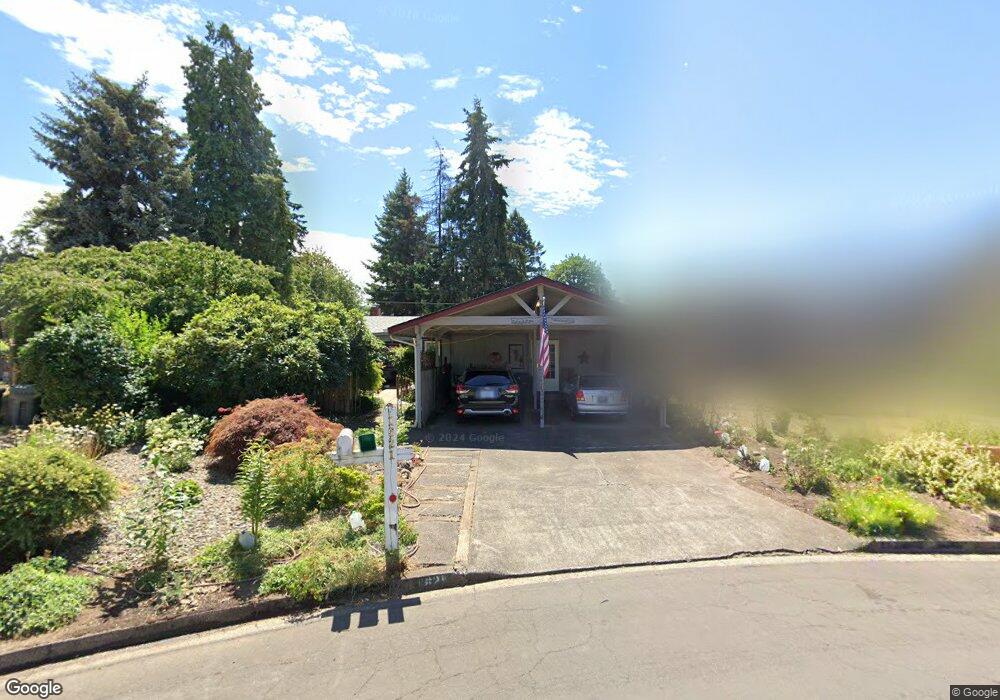
1621 Linden Ave Springfield, OR 97477
West Springfield NeighborhoodEstimated Value: $441,452 - $526,000
3
Beds
2
Baths
2,132
Sq Ft
$233/Sq Ft
Est. Value
About This Home
This home is located at 1621 Linden Ave, Springfield, OR 97477 and is currently estimated at $496,113, approximately $232 per square foot. 1621 Linden Ave is a home located in Lane County with nearby schools including Centennial Elementary School, Hamlin Middle School, and Springfield High School.
Ownership History
Date
Name
Owned For
Owner Type
Purchase Details
Closed on
Jul 13, 1998
Sold by
Wood Roger V and Wood Virginia I
Bought by
Armour James M and Armour Shirley A
Current Estimated Value
Home Financials for this Owner
Home Financials are based on the most recent Mortgage that was taken out on this home.
Original Mortgage
$88,900
Outstanding Balance
$17,708
Interest Rate
7%
Estimated Equity
$478,405
Create a Home Valuation Report for This Property
The Home Valuation Report is an in-depth analysis detailing your home's value as well as a comparison with similar homes in the area
Home Values in the Area
Average Home Value in this Area
Purchase History
| Date | Buyer | Sale Price | Title Company |
|---|---|---|---|
| Armour James M | $144,000 | Key Title Company |
Source: Public Records
Mortgage History
| Date | Status | Borrower | Loan Amount |
|---|---|---|---|
| Open | Armour James M | $88,900 |
Source: Public Records
Tax History Compared to Growth
Tax History
| Year | Tax Paid | Tax Assessment Tax Assessment Total Assessment is a certain percentage of the fair market value that is determined by local assessors to be the total taxable value of land and additions on the property. | Land | Improvement |
|---|---|---|---|---|
| 2025 | $3,758 | $256,566 | -- | -- |
| 2024 | $3,656 | $249,094 | -- | -- |
| 2023 | $3,656 | $241,839 | $0 | $0 |
| 2022 | $3,476 | $234,796 | $0 | $0 |
| 2021 | $3,401 | $227,958 | $0 | $0 |
| 2020 | $3,302 | $221,319 | $0 | $0 |
| 2019 | $3,186 | $214,873 | $0 | $0 |
| 2018 | $3,065 | $202,539 | $0 | $0 |
| 2017 | $2,974 | $202,539 | $0 | $0 |
| 2016 | $2,907 | $196,640 | $0 | $0 |
| 2015 | $2,836 | $190,913 | $0 | $0 |
| 2014 | $2,717 | $185,352 | $0 | $0 |
Source: Public Records
Map
Nearby Homes
- 1310 W Quinalt St
- 1130 Anderson Ln
- 375 Mia Ln
- 1120 W Fairview Dr Unit 3
- 1770 Brandy Way
- 1632 Dotie Dr
- 1723 Dotie Dr
- 955 Oak Meadows Place
- 872 W N St
- 835 Anderson Ln
- 804 W N St
- 3515 Regent Ave
- 3460 Oxbow Way
- 511 Panda Loop
- 633 Rowan Ave
- 1267 Kenray Loop
- 511 Honeysuckle Ln
- 436 W M St
- 930 Prescott Ln
- 428 W Centennial Blvd
- 1635 Linden Ave
- 1615 Linden Ave
- 1501 Anderson Ln
- 1521 Anderson Ln
- 1645 Linden Ave
- 1603 Linden Ave
- 1620 Linden Ave
- 1545 Anderson Ln Unit VRM
- 1545 Anderson Ln
- 1471 Anderson Ln
- 1419 Anderson Ln
- 1602 Linden Ave
- 1669 Linden Ave
- 1506 Juniper Ln
- 1510 Juniper Ln
- 1452 Juniper Ln
- 1615 Anderson Ln
- 1670 Linden Ave
- 1598 Linden Ave
- 1446 Juniper Ln