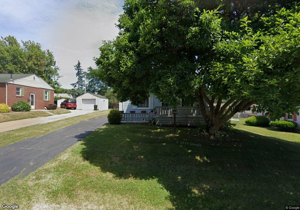
1623 31st St NE Canton, OH 44714
Plain Township NeighborhoodEstimated Value: $138,000 - $164,019
3
Beds
1
Bath
1,170
Sq Ft
$128/Sq Ft
Est. Value
About This Home
This home is located at 1623 31st St NE, Canton, OH 44714 and is currently estimated at $149,505, approximately $127 per square foot. 1623 31st St NE is a home located in Stark County with nearby schools including Frazer Elementary School, Glenwood Intermediate School, and GlenOak High School.
Ownership History
Date
Name
Owned For
Owner Type
Purchase Details
Closed on
Jun 7, 2019
Sold by
Pigott Lance M and Pigott Beverly T
Bought by
Pigott Lance M
Current Estimated Value
Purchase Details
Closed on
Jul 23, 1992
Create a Home Valuation Report for This Property
The Home Valuation Report is an in-depth analysis detailing your home's value as well as a comparison with similar homes in the area
Home Values in the Area
Average Home Value in this Area
Purchase History
| Date | Buyer | Sale Price | Title Company |
|---|---|---|---|
| Pigott Lance M | -- | None Available | |
| -- | $45,900 | -- |
Source: Public Records
Tax History Compared to Growth
Tax History
| Year | Tax Paid | Tax Assessment Tax Assessment Total Assessment is a certain percentage of the fair market value that is determined by local assessors to be the total taxable value of land and additions on the property. | Land | Improvement |
|---|---|---|---|---|
| 2025 | -- | $46,170 | $12,250 | $33,920 |
| 2024 | -- | $46,170 | $12,250 | $33,920 |
| 2023 | $2,717 | $36,160 | $10,640 | $25,520 |
| 2022 | $1,695 | $36,160 | $10,640 | $25,520 |
| 2021 | $1,703 | $36,160 | $10,640 | $25,520 |
| 2020 | $1,592 | $30,770 | $9,170 | $21,600 |
| 2019 | $1,579 | $30,770 | $9,170 | $21,600 |
| 2018 | $1,559 | $30,770 | $9,170 | $21,600 |
| 2017 | $1,569 | $28,430 | $9,070 | $19,360 |
| 2016 | $1,368 | $24,720 | $9,070 | $15,650 |
| 2015 | $1,323 | $24,720 | $9,070 | $15,650 |
| 2014 | $1,294 | $23,660 | $8,680 | $14,980 |
| 2013 | $633 | $23,660 | $8,680 | $14,980 |
Source: Public Records
Map
Nearby Homes
- 1624 34th St NE
- 1609 35th St NE
- 1306 Milford St NE
- 1227 33rd St NE
- 1233 29th St NE
- 000 Rowland Ave NE
- 1638 Warrick Place NE
- 3321 Martindale Rd NE
- 1321 Warrick Place NE
- 1202 28th St NE
- 2510 Gross Ave NE
- 1115 Colonial Blvd NE
- 3022 Taft Ave NE
- 1007 27th St NE
- 808 29th St NE
- 2315 Maple Ave NE
- 708 29th St NE
- 2333 Ivy Way St NE
- 1220 25th St NE
- 1912 40th St NE
- 1629 31st St NE
- 1617 31st St NE
- 1637 31st St NE
- 1611 31st St NE
- 1620 32nd St NE
- 1626 32nd St NE
- 1616 32nd St NE
- 1630 32nd St NE
- 1641 31st St NE
- 1612 32nd St NE
- 1636 32nd St NE
- 1622 31st St NE
- 1628 31st St NE
- 1605 31st St NE
- 1618 31st St NE
- 1630 31st St NE
- 1645 31st St NE
- 1612 31st St NE
- 1640 32nd St NE
- 1634 31st St NE