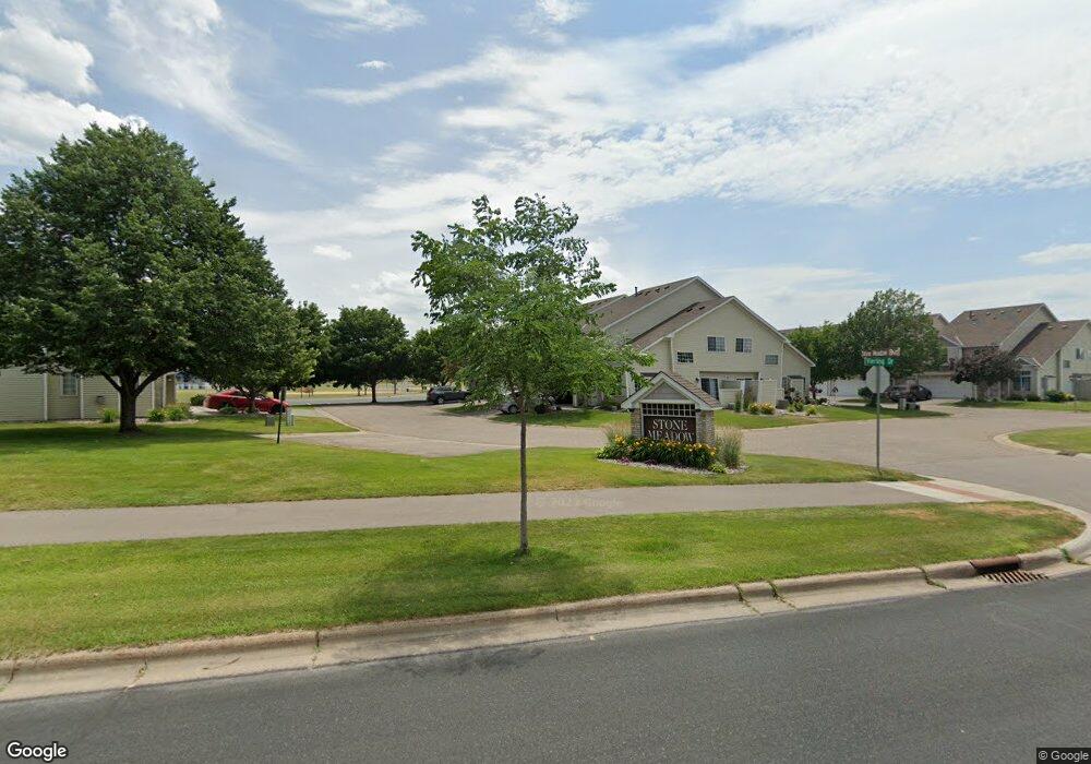
1624 Rock Place Unit A3 Shakopee, MN 55379
Estimated Value: $253,000 - $281,000
2
Beds
2
Baths
1,422
Sq Ft
$185/Sq Ft
Est. Value
About This Home
This home is located at 1624 Rock Place Unit A3, Shakopee, MN 55379 and is currently estimated at $263,161, approximately $185 per square foot. 1624 Rock Place Unit A3 is a home located in Scott County with nearby schools including Jackson Elementary School, East Middle School, and Shakopee Senior High School.
Ownership History
Date
Name
Owned For
Owner Type
Purchase Details
Closed on
Sep 15, 2010
Sold by
Mensen Eric W and Mensen Amanda J
Bought by
Cole Kevin N
Current Estimated Value
Home Financials for this Owner
Home Financials are based on the most recent Mortgage that was taken out on this home.
Original Mortgage
$110,481
Outstanding Balance
$73,176
Interest Rate
4.5%
Mortgage Type
FHA
Estimated Equity
$189,985
Purchase Details
Closed on
Jan 26, 2007
Sold by
Lamp Joshua D and Lamp Amber J
Bought by
Platt Amanda J and Mensen Eric W
Purchase Details
Closed on
Sep 25, 2003
Sold by
Nelson Sunny A and Nelson Jon
Bought by
Lamp Joshua D and Lamp Amber J
Purchase Details
Closed on
Apr 27, 2001
Sold by
Brightkeys Building & Developmnet Corp
Bought by
Pelletier Sunny A
Purchase Details
Closed on
May 29, 1997
Sold by
Residential Development Inc
Bought by
Park Grove Development Corp
Create a Home Valuation Report for This Property
The Home Valuation Report is an in-depth analysis detailing your home's value as well as a comparison with similar homes in the area
Home Values in the Area
Average Home Value in this Area
Purchase History
| Date | Buyer | Sale Price | Title Company |
|---|---|---|---|
| Cole Kevin N | $112,000 | -- | |
| Platt Amanda J | $170,400 | -- | |
| Lamp Joshua D | $164,000 | -- | |
| Pelletier Sunny A | $143,750 | -- | |
| Park Grove Development Corp | $97,860 | -- |
Source: Public Records
Mortgage History
| Date | Status | Borrower | Loan Amount |
|---|---|---|---|
| Open | Cole Kevin N | $110,481 |
Source: Public Records
Tax History Compared to Growth
Tax History
| Year | Tax Paid | Tax Assessment Tax Assessment Total Assessment is a certain percentage of the fair market value that is determined by local assessors to be the total taxable value of land and additions on the property. | Land | Improvement |
|---|---|---|---|---|
| 2025 | $2,204 | $240,600 | $68,500 | $172,100 |
| 2024 | $2,284 | $229,600 | $65,200 | $164,400 |
| 2023 | $2,346 | $226,300 | $63,900 | $162,400 |
| 2022 | $2,194 | $228,700 | $65,500 | $163,200 |
| 2021 | $1,874 | $188,400 | $51,300 | $137,100 |
| 2020 | $2,010 | $179,800 | $42,000 | $137,800 |
| 2019 | $1,890 | $171,500 | $40,000 | $131,500 |
| 2018 | $1,818 | $0 | $0 | $0 |
| 2016 | $1,656 | $0 | $0 | $0 |
| 2014 | -- | $0 | $0 | $0 |
Source: Public Records
Map
Nearby Homes
- 1853 Stone Meadow Blvd
- 1187 Jackson St S
- 1226 Polk St S
- 2123 Agate Curve
- 2224 Quarry Ln
- 1259 Taylor St Unit 3
- 1279 Taylor St Unit 5
- 816 Regent Dr
- 1690 Windigo Ln
- 2007 10th Ave W Unit 12
- 1813 6th Ave W
- 696 Jutland Ave
- 1179 Cubasue Ct
- 1861 Attenborough St
- 508 Hackney Ave
- The Ferguson Plan at Bluff View - Cottage Series
- The Edison Plan at Bluff View - Cottage Series
- The Tatum Plan at Bluff View - Cottage Series
- The Pattison Plan at Bluff View - Cottage Series
- The Harmony Plan at Bluff View - Freedom Series
- 1624 Rock Place
- 1620 Rock Place
- 1628 Rock Place
- 1625 Meadow Place
- 1621 Meadow Place
- 1629 Meadow Place
- 1605 Rock Place
- 1601 Rock Place
- 1644 Meadow Place
- 1648 Meadow Place
- 1804 Presidential Ln
- 1640 Meadow Place
- 1652 Meadow Place
- 1808 Presidential Ln
- 1649 Boulder Point
- 1649 Boulder Pointe
- 1645 Boulder Point
- 1653 Boulder Point
- 1641 Boulder Pointe
- 1668 Boulder Point