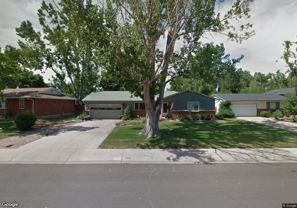
1624 Windsor Ct Fort Collins, CO 80526
Estimated Value: $564,369 - $902,000
3
Beds
2
Baths
1,960
Sq Ft
$340/Sq Ft
Est. Value
About This Home
This home is located at 1624 Windsor Ct, Fort Collins, CO 80526 and is currently estimated at $666,842, approximately $340 per square foot. 1624 Windsor Ct is a home located in Larimer County with nearby schools including Bennett Elementary School, Blevins Middle School, and Rocky Mountain High School.
Ownership History
Date
Name
Owned For
Owner Type
Purchase Details
Closed on
Dec 31, 2019
Sold by
Hilt Kenneth C
Bought by
1624 Windsor Ct Llc
Current Estimated Value
Purchase Details
Closed on
Sep 20, 2002
Sold by
Bergquist Brian M
Bought by
Hilt Kenneth C
Purchase Details
Closed on
Jul 15, 1998
Sold by
Braley Daniel O
Bought by
Bergquist Brian M
Home Financials for this Owner
Home Financials are based on the most recent Mortgage that was taken out on this home.
Original Mortgage
$147,200
Interest Rate
9.95%
Create a Home Valuation Report for This Property
The Home Valuation Report is an in-depth analysis detailing your home's value as well as a comparison with similar homes in the area
Home Values in the Area
Average Home Value in this Area
Purchase History
| Date | Buyer | Sale Price | Title Company |
|---|---|---|---|
| 1624 Windsor Ct Llc | -- | None Available | |
| Hilt Kenneth C | -- | -- | |
| Bergquist Brian M | $184,000 | North American Title Co |
Source: Public Records
Mortgage History
| Date | Status | Borrower | Loan Amount |
|---|---|---|---|
| Previous Owner | Bergquist Brian M | $147,200 |
Source: Public Records
Tax History Compared to Growth
Tax History
| Year | Tax Paid | Tax Assessment Tax Assessment Total Assessment is a certain percentage of the fair market value that is determined by local assessors to be the total taxable value of land and additions on the property. | Land | Improvement |
|---|---|---|---|---|
| 2025 | $3,700 | $42,250 | $3,015 | $39,235 |
| 2024 | $3,521 | $42,250 | $3,015 | $39,235 |
| 2022 | $3,140 | $33,256 | $3,128 | $30,128 |
| 2021 | $3,173 | $34,213 | $3,218 | $30,995 |
| 2020 | $3,011 | $32,176 | $3,218 | $28,958 |
| 2019 | $3,024 | $32,176 | $3,218 | $28,958 |
| 2018 | $2,461 | $27,000 | $3,240 | $23,760 |
| 2017 | $2,452 | $27,000 | $3,240 | $23,760 |
| 2016 | $2,317 | $25,384 | $3,582 | $21,802 |
| 2015 | $2,301 | $25,380 | $3,580 | $21,800 |
| 2014 | $1,798 | $19,710 | $3,580 | $16,130 |
Source: Public Records
Map
Nearby Homes
- 1701 Glenwood Dr
- 1513 Independence Rd
- 2404 Sheffield Cir E
- 1757 Concord Dr
- 1854 Marlborough Ct
- 2420 Sheffield Cir E
- 2109 W Drake Rd
- 2613 Hanover Dr
- 1419 Glen Haven Dr
- 1905 Yorktown Ave
- 1333 Village Park Ct
- 1112 Evenstar Ct
- 2206 Rambouillet Dr
- 2706 Dunbar Ave
- 1955 Kingsborough Dr
- 1300 W Stuart St Unit 23
- 2718 Dunbar Ave
- 2738 Bradford Square
- 1021 Rolland Moore Dr Unit F
- 1021 Rolland Moore Dr Unit 5
- 1618 Windsor Ct
- 1630 Windsor Ct
- 1643 Independence Rd
- 1637 Independence Rd
- 1636 Windsor Ct
- 1619 Windsor Ct
- 1649 Independence Rd
- 1625 Windsor Ct
- 1631 Independence Rd
- 1613 Windsor Ct
- 1631 Windsor Ct
- 1607 Windsor Ct
- 1637 Windsor Ct
- 1625 Independence Rd
- 1612 Scarborough Dr
- 1600 Windsor Ct
- 1601 Windsor Ct
- 1618 Scarborough Dr
- 1606 Scarborough Dr
- 2136 Constitution Ave