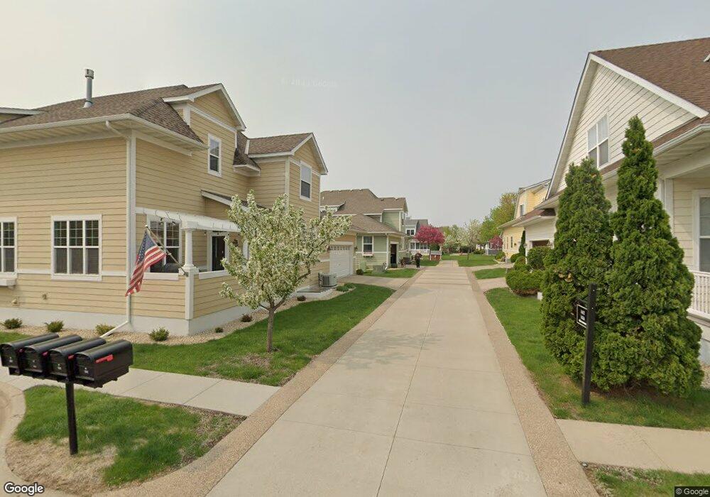
1626 Summit Hill Saint Paul, MN 55122
Estimated Value: $471,562 - $504,000
4
Beds
4
Baths
3,447
Sq Ft
$142/Sq Ft
Est. Value
About This Home
This home is located at 1626 Summit Hill, Saint Paul, MN 55122 and is currently estimated at $490,891, approximately $142 per square foot. 1626 Summit Hill is a home located in Dakota County with nearby schools including Oak Ridge Elementary School, Black Hawk Middle School, and Eastview Senior High School.
Ownership History
Date
Name
Owned For
Owner Type
Purchase Details
Closed on
Jun 17, 2019
Sold by
Kostiuk Tyler J and Kostiuk Andrea R
Bought by
Wright Stephanie A
Current Estimated Value
Home Financials for this Owner
Home Financials are based on the most recent Mortgage that was taken out on this home.
Original Mortgage
$351,000
Outstanding Balance
$308,615
Interest Rate
4.1%
Mortgage Type
New Conventional
Estimated Equity
$182,276
Purchase Details
Closed on
Apr 14, 2017
Sold by
Wold Christine L and Wold Eric M
Bought by
Kostiuk Andrea R and Kostiuk Tyler J
Home Financials for this Owner
Home Financials are based on the most recent Mortgage that was taken out on this home.
Original Mortgage
$377,561
Interest Rate
4.3%
Mortgage Type
VA
Purchase Details
Closed on
Jul 27, 2005
Sold by
Lindemann Deven A
Bought by
Wold Eric M and Wold Christine L
Purchase Details
Closed on
Oct 16, 2003
Sold by
Delta Development
Bought by
Lindemann Deven A
Create a Home Valuation Report for This Property
The Home Valuation Report is an in-depth analysis detailing your home's value as well as a comparison with similar homes in the area
Home Values in the Area
Average Home Value in this Area
Purchase History
| Date | Buyer | Sale Price | Title Company |
|---|---|---|---|
| Wright Stephanie A | $390,000 | Watermark Title Agency | |
| Kostiuk Andrea R | $365,500 | None Available | |
| Wold Eric M | $385,000 | -- | |
| Lindemann Deven A | $375,135 | -- |
Source: Public Records
Mortgage History
| Date | Status | Borrower | Loan Amount |
|---|---|---|---|
| Open | Wright Stephanie A | $351,000 | |
| Previous Owner | Kostiuk Andrea R | $377,561 |
Source: Public Records
Tax History Compared to Growth
Tax History
| Year | Tax Paid | Tax Assessment Tax Assessment Total Assessment is a certain percentage of the fair market value that is determined by local assessors to be the total taxable value of land and additions on the property. | Land | Improvement |
|---|---|---|---|---|
| 2024 | $5,306 | $459,100 | $113,200 | $345,900 |
| 2023 | $5,306 | $488,500 | $112,400 | $376,100 |
| 2022 | $4,886 | $473,600 | $112,100 | $361,500 |
| 2021 | $4,602 | $434,500 | $97,500 | $337,000 |
| 2020 | $4,514 | $400,200 | $92,800 | $307,400 |
| 2019 | $4,152 | $383,100 | $88,400 | $294,700 |
| 2018 | $3,829 | $352,500 | $81,900 | $270,600 |
| 2017 | $4,122 | $334,700 | $74,400 | $260,300 |
| 2016 | $4,163 | $339,700 | $70,900 | $268,800 |
| 2015 | $3,727 | $333,360 | $66,770 | $266,590 |
| 2014 | -- | $302,404 | $62,014 | $240,390 |
| 2013 | -- | $268,178 | $54,937 | $213,241 |
Source: Public Records
Map
Nearby Homes
- 1612 Summit Hill
- 1610 Clemson Dr
- 4249 Boulder Ridge Point
- 4168 Arbor Ln
- 1680 Oakbrooke Ct
- 4163 Starbridge Ct
- 1676 Hickory Ln
- 4411 Clover Ln Unit A
- 4418 Clover Ln Unit B
- 4290 Blackhawk Rd
- 4100 Meadowlark Ln
- 4199 Knob Cir Unit 102
- 4401 Clover Ln Unit B
- 1778 Walnut Ln
- 4184 Knob Cir
- 1655 Walnut Ln
- 4150 Knob Cir
- 1865 Deer Hills Trail
- 4049 Deerwood Trail
- 1902 Sapphire Point Unit 110
- 1630 Summit Hill
- 1628 Summit Hill
- 1624 Summit Hill
- 1620 Summit Hill
- 1616 Summit Hill
- 1606 Summit Hill
- 1602 Summit Hill
- 1632 Summit Hill
- 1618 Summit Hill
- 1610 Summit Hill
- 1627 Summit Hill
- 1625 Summit Hill
- 1614 Summit Hill
- 1629 Summit Hill
- 1623 Summit Hill
- 1604 Summit Hill
- 1600R Summit Hill
- 1600 Summit Hill
- 1608 Summit Hill
- 1615 Summit Hill