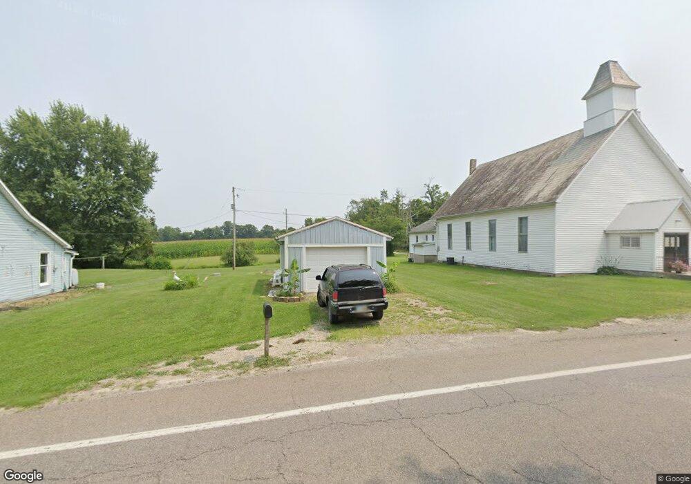
16284 State Route 37 E Corning, OH 43730
Estimated Value: $113,645 - $202,000
1
Bed
1
Bath
1,064
Sq Ft
$160/Sq Ft
Est. Value
About This Home
This home is located at 16284 State Route 37 E, Corning, OH 43730 and is currently estimated at $170,661, approximately $160 per square foot. 16284 State Route 37 E is a home located in Perry County with nearby schools including Crooksville Elementary School, Crooksville Middle School, and Crooksville High School.
Ownership History
Date
Name
Owned For
Owner Type
Purchase Details
Closed on
Oct 11, 2011
Sold by
Kingston National Bank
Bought by
Pace Earl Elliott and Pace Joan Theresa
Current Estimated Value
Purchase Details
Closed on
Oct 10, 2008
Sold by
Heiney Carole S and Gilder Carole S
Bought by
Wright Vicki D
Home Financials for this Owner
Home Financials are based on the most recent Mortgage that was taken out on this home.
Original Mortgage
$66,100
Interest Rate
5.94%
Mortgage Type
New Conventional
Create a Home Valuation Report for This Property
The Home Valuation Report is an in-depth analysis detailing your home's value as well as a comparison with similar homes in the area
Purchase History
| Date | Buyer | Sale Price | Title Company |
|---|---|---|---|
| Pace Earl Elliott | $30,000 | None Available | |
| Wright Vicki D | $66,000 | None Available |
Source: Public Records
Mortgage History
| Date | Status | Borrower | Loan Amount |
|---|---|---|---|
| Previous Owner | Wright Vicki D | $66,100 |
Source: Public Records
Tax History
| Year | Tax Paid | Tax Assessment Tax Assessment Total Assessment is a certain percentage of the fair market value that is determined by local assessors to be the total taxable value of land and additions on the property. | Land | Improvement |
|---|---|---|---|---|
| 2024 | $992 | $28,210 | $2,910 | $25,300 |
| 2023 | $992 | $28,210 | $2,910 | $25,300 |
| 2022 | $724 | $19,010 | $2,220 | $16,790 |
| 2021 | $724 | $19,010 | $2,220 | $16,790 |
| 2020 | $723 | $19,010 | $2,220 | $16,790 |
| 2019 | $660 | $17,370 | $2,180 | $15,190 |
| 2018 | $673 | $17,370 | $2,180 | $15,190 |
| 2017 | $742 | $17,370 | $2,180 | $15,190 |
| 2016 | $818 | $20,890 | $2,730 | $18,160 |
| 2015 | $818 | $20,890 | $2,730 | $18,160 |
| 2014 | $772 | $20,890 | $2,730 | $18,160 |
| 2013 | $388 | $20,890 | $2,730 | $18,160 |
| 2012 | -- | $20,890 | $2,730 | $18,160 |
Source: Public Records
Map
Nearby Homes
- 0 Township Road 318
- 14632 Township Road 202 NE
- 0 Township Road 202
- 8960 State Route 37
- 14105 Portie-Flamingo Rd SE
- 13877 Portie Flamingo Rd SE
- 1420 Tatmans Rd NE
- 7621 W Mollahan Rd NW
- 3055 Township Road 312
- 6495 Township Road 293 SE
- 1341 Ohio 13 Unit (Serenity Cabin at S
- 1341 Ohio 13
- 0 Ohio 669
- 0 County Road 12
- 0 NE Township Road 202 Unit 20250430
- Tract 1 Township Road 312
- 185 Adams St
- 136 Jones St
- 140 S Valley St
- 207 W Main St
- 16284 State Route 37 E
- 16255 State Route 37 E
- 16255 State Route 37 E
- 16310 State Route 37 E
- 16241 State Route 37 E
- 16227 State Route 37 E
- 16200 State Route 37 E
- 16331 State Route 37 E
- 16350 State Route 37 E
- 16237 State Route 37 E
- 16184 State Route 37 E
- 16199 State Route 37 E
- 16170 State Route 37 E
- 16170 State Route 37 E
- 16364 State Route 37 E
- 16364 State Route 37 E
- 16185 State Route 37 E
- 16165 State Route 37 E
- 16400 State Route 37 E
- 16397 State Route 37 E
