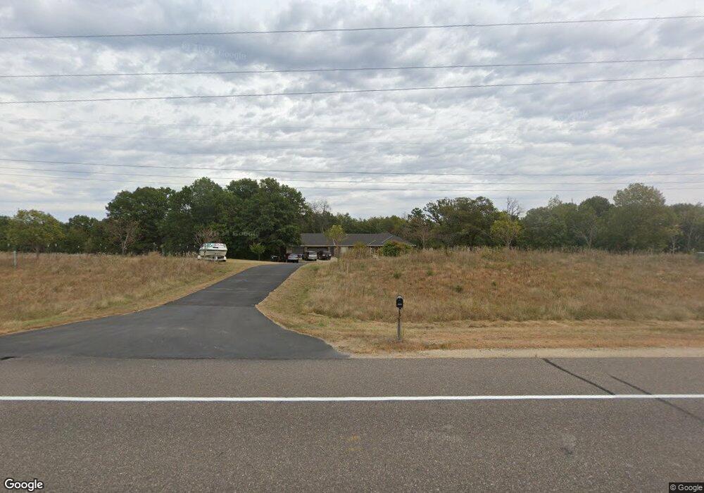
16289 Hanson Blvd NW Andover, MN 55304
Estimated Value: $564,000 - $635,000
3
Beds
2
Baths
4,080
Sq Ft
$148/Sq Ft
Est. Value
About This Home
This home is located at 16289 Hanson Blvd NW, Andover, MN 55304 and is currently estimated at $602,242, approximately $147 per square foot. 16289 Hanson Blvd NW is a home located in Anoka County with nearby schools including Rum River Elementary School, Oak View Middle School, and Andover Senior High School.
Ownership History
Date
Name
Owned For
Owner Type
Purchase Details
Closed on
Feb 5, 2021
Sold by
Smith Kent D and Smith Pamela D
Bought by
Krienke Armin
Current Estimated Value
Home Financials for this Owner
Home Financials are based on the most recent Mortgage that was taken out on this home.
Original Mortgage
$344,000
Outstanding Balance
$307,136
Interest Rate
2.6%
Mortgage Type
New Conventional
Estimated Equity
$295,106
Purchase Details
Closed on
Jun 28, 2000
Sold by
Hank Kevin D and Hank Julie A
Bought by
Smith Kent M and Smith Pamela D
Create a Home Valuation Report for This Property
The Home Valuation Report is an in-depth analysis detailing your home's value as well as a comparison with similar homes in the area
Home Values in the Area
Average Home Value in this Area
Purchase History
| Date | Buyer | Sale Price | Title Company |
|---|---|---|---|
| Krienke Armin | $450,000 | Midland Title | |
| Smith Kent M | $310,000 | -- | |
| Krienke Armin Armin | $450,000 | -- |
Source: Public Records
Mortgage History
| Date | Status | Borrower | Loan Amount |
|---|---|---|---|
| Open | Krienke Armin | $344,000 | |
| Closed | Krienke Armin Armin | $344,000 |
Source: Public Records
Tax History Compared to Growth
Tax History
| Year | Tax Paid | Tax Assessment Tax Assessment Total Assessment is a certain percentage of the fair market value that is determined by local assessors to be the total taxable value of land and additions on the property. | Land | Improvement |
|---|---|---|---|---|
| 2025 | $6,096 | $593,200 | $167,100 | $426,100 |
| 2024 | $6,096 | $584,500 | $167,100 | $417,400 |
| 2023 | $5,306 | $559,900 | $131,600 | $428,300 |
| 2022 | $4,848 | $564,200 | $127,300 | $436,900 |
| 2021 | $4,902 | $453,700 | $104,100 | $349,600 |
| 2020 | $4,698 | $447,100 | $120,700 | $326,400 |
| 2019 | $4,399 | $414,600 | $106,800 | $307,800 |
| 2018 | $4,301 | $382,000 | $0 | $0 |
| 2017 | $3,945 | $366,700 | $0 | $0 |
| 2016 | $3,779 | $310,300 | $0 | $0 |
| 2015 | -- | $310,300 | $84,700 | $225,600 |
| 2014 | -- | $284,200 | $84,700 | $199,500 |
Source: Public Records
Map
Nearby Homes
- 1475 162nd Ave NW
- 15801 Drake St NW
- 16355 Wintergreen St NW
- 16191 Unity St NW
- 1149 167th Ave NW
- 1722 157th Ln NW
- 1136 168th Ln NW
- 15620 Eagle St NW
- 15988 Quinn St NW
- 15631 Linnet St NW Unit 3210
- 15631 Linnet St NW Unit 109
- 15631 Linnet St NW Unit 3305
- 1024 159th Ln NW
- 1769 155th Ave NW
- 15570 Linnet St NW Unit 2305
- 15570 Linnet St NW Unit 2205
- 1684 155th Ave NW
- 15832 Uplander St NW
- 00000 153rd Ln NW
- 15453 Yellow Pine St NW
- 16231 Hanson Blvd NW
- 16425 Hanson Blvd NW
- 1487 162nd Ave NW
- 1463 162nd Ave NW
- 16157 Hanson Blvd NW
- 1377 162nd Ln NW
- 1451 162nd Ave NW
- 16188 Crane St NW
- 1378 162nd Ln NW
- 1378 162nd Ln NW
- 16176 Crane St NW
- 1802 164th Ln NW
- 16191 Crane St NW
- 16164 Crane St NW
- 1365 162nd Ln NW
- 1366 162nd Ln NW
- 16179 Crane St NW
- 1662 164th Ln NW
- 1487 161st Ave NW
- 1372 162nd Ave NW