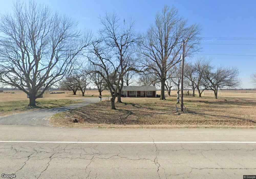
16297 Us Highway 61 Matthews, MO 63867
Estimated Value: $157,000 - $167,000
2
Beds
1
Bath
1,815
Sq Ft
$89/Sq Ft
Est. Value
About This Home
This home is located at 16297 Us Highway 61, Matthews, MO 63867 and is currently estimated at $162,053, approximately $89 per square foot. 16297 Us Highway 61 is a home with nearby schools including Central High School.
Ownership History
Date
Name
Owned For
Owner Type
Purchase Details
Closed on
Jun 5, 2024
Sold by
Lockett Ruth and Lockett Willie
Bought by
Carlisle Loren Kyle and Carlisle Jessica Marie
Current Estimated Value
Home Financials for this Owner
Home Financials are based on the most recent Mortgage that was taken out on this home.
Original Mortgage
$178,596
Interest Rate
7.17%
Mortgage Type
Construction
Create a Home Valuation Report for This Property
The Home Valuation Report is an in-depth analysis detailing your home's value as well as a comparison with similar homes in the area
Home Values in the Area
Average Home Value in this Area
Purchase History
| Date | Buyer | Sale Price | Title Company |
|---|---|---|---|
| Carlisle Loren Kyle | -- | None Listed On Document |
Source: Public Records
Mortgage History
| Date | Status | Borrower | Loan Amount |
|---|---|---|---|
| Closed | Carlisle Loren Kyle | $178,596 |
Source: Public Records
Tax History Compared to Growth
Tax History
| Year | Tax Paid | Tax Assessment Tax Assessment Total Assessment is a certain percentage of the fair market value that is determined by local assessors to be the total taxable value of land and additions on the property. | Land | Improvement |
|---|---|---|---|---|
| 2024 | $681 | $15,100 | $1,500 | $13,600 |
| 2023 | $684 | $15,100 | $0 | $0 |
| 2022 | $639 | $14,200 | $1,500 | $12,700 |
| 2021 | $638 | $14,200 | $0 | $0 |
| 2020 | $611 | $14,200 | $0 | $0 |
| 2019 | $611 | $13,500 | $1,500 | $12,000 |
| 2018 | $594 | $13,130 | $0 | $0 |
| 2017 | $589 | $13,130 | $0 | $0 |
| 2016 | -- | $13,130 | $0 | $0 |
| 2015 | -- | $13,130 | $0 | $0 |
| 2014 | -- | $13,130 | $0 | $0 |
| 2011 | -- | $0 | $0 | $0 |
Source: Public Records
Map
Nearby Homes
- 100 Summit St
- 103 N Calvin St
- 506 W Main St
- 116 Hospitality Dr
- 139 Pharris Ridge Dr
- 1201 Yosemite
- 109 Stallcup Dr
- 16 Bon Secour Ave
- 807 Bollweevil Blvd
- 801 Bollweevil Blvd
- 811 Bollweevil Blvd
- 809 Bollweevil Blvd
- 803 Bollweevil Blvd
- 811 Cotton Ridge Dr
- 800 Cotton Ridge Dr
- 810 Cotton Ridge Dr
- 804 Cotton Ridge Dr
- 806 Cotton Ridge Dr
- 808 Cotton Ridge Dr
- 809 Cotton Ridge Dr