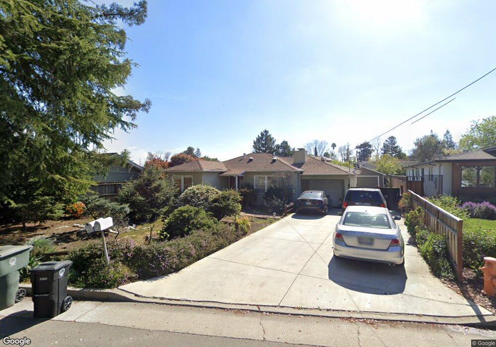
162A Monroe Dr Palo Alto, CA 94306
Mountain View West NeighborhoodEstimated Value: $3,301,000 - $3,928,000
3
Beds
2
Baths
1,382
Sq Ft
$2,605/Sq Ft
Est. Value
About This Home
This home is located at 162A Monroe Dr, Palo Alto, CA 94306 and is currently estimated at $3,599,667, approximately $2,604 per square foot. 162A Monroe Dr is a home located in Santa Clara County with nearby schools including Santa Rita Elementary School, Ardis G. Egan Junior High School, and Los Altos High School.
Ownership History
Date
Name
Owned For
Owner Type
Purchase Details
Closed on
May 28, 2013
Sold by
Murai Ken and Murai Leslie
Bought by
Murai Ken and Murai Leslie
Current Estimated Value
Home Financials for this Owner
Home Financials are based on the most recent Mortgage that was taken out on this home.
Original Mortgage
$574,000
Interest Rate
3.38%
Mortgage Type
New Conventional
Create a Home Valuation Report for This Property
The Home Valuation Report is an in-depth analysis detailing your home's value as well as a comparison with similar homes in the area
Home Values in the Area
Average Home Value in this Area
Purchase History
| Date | Buyer | Sale Price | Title Company |
|---|---|---|---|
| Murai Ken | -- | Stewart Title Of California |
Source: Public Records
Mortgage History
| Date | Status | Borrower | Loan Amount |
|---|---|---|---|
| Closed | Murai Ken | $574,000 |
Source: Public Records
Tax History Compared to Growth
Tax History
| Year | Tax Paid | Tax Assessment Tax Assessment Total Assessment is a certain percentage of the fair market value that is determined by local assessors to be the total taxable value of land and additions on the property. | Land | Improvement |
|---|---|---|---|---|
| 2025 | $10,260 | $1,193,489 | $451,687 | $741,802 |
| 2024 | $10,260 | $811,265 | $442,831 | $368,434 |
| 2023 | $10,915 | $869,978 | $434,149 | $435,829 |
| 2022 | $10,798 | $852,921 | $425,637 | $427,284 |
| 2021 | $10,854 | $836,198 | $417,292 | $418,906 |
| 2020 | $10,939 | $827,625 | $413,014 | $414,611 |
| 2019 | $10,442 | $811,398 | $404,916 | $406,482 |
| 2018 | $10,347 | $795,489 | $396,977 | $398,512 |
| 2017 | $9,977 | $779,893 | $389,194 | $390,699 |
| 2016 | $9,713 | $764,602 | $381,563 | $383,039 |
| 2015 | $9,589 | $753,118 | $375,832 | $377,286 |
| 2014 | -- | $738,366 | $368,470 | $369,896 |
Source: Public Records
Map
Nearby Homes
- 278 Monroe Dr Unit 17
- 181 Del Medio Ave Unit 307
- 4250 El Camino Real Unit B120
- 4250 El Camino Real Unit D234
- 4206 Rickeys Way Unit C
- 4225 Park Blvd
- 579 Glenbrook Dr
- 342 Carolina Ln
- 4173 El Camino Real Unit 1
- 1023 Mercedes Ave
- 103 Whits Rd
- 444 San Antonio Rd Unit 1A
- 3003 Marcelli Cir
- 26 Roosevelt Cir
- 2483 Whitney Dr
- 545 Georgia Ave
- 49 Showers Dr Unit J317
- 49 Showers Dr Unit D460
- 49 Showers Dr Unit E151
- 645 Maybell Ave Unit A