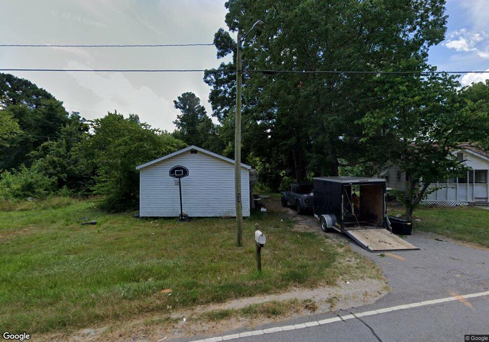
1631 Mcmanus Ln Lancaster, SC 29720
Estimated Value: $84,000 - $204,000
Studio
1
Bath
952
Sq Ft
$130/Sq Ft
Est. Value
About This Home
This home is located at 1631 Mcmanus Ln, Lancaster, SC 29720 and is currently estimated at $123,700, approximately $129 per square foot. 1631 Mcmanus Ln is a home located in Lancaster County with nearby schools including Brooklyn Springs Elementary School, South Middle School, and Lancaster High School.
Ownership History
Date
Name
Owned For
Owner Type
Purchase Details
Closed on
Mar 18, 2025
Sold by
Lawson Jennifer
Bought by
Lawson Brantley
Current Estimated Value
Purchase Details
Closed on
Jul 19, 2021
Sold by
Whitley Terry L and Rubio Cindy
Bought by
Lawson Brantley and Lawson Jennifer
Home Financials for this Owner
Home Financials are based on the most recent Mortgage that was taken out on this home.
Original Mortgage
$74,131
Interest Rate
2.9%
Mortgage Type
FHA
Purchase Details
Closed on
Feb 12, 2021
Sold by
Whitley Terry L
Bought by
Whitley Terry L and Cauthen Davidr
Purchase Details
Closed on
Aug 14, 2014
Sold by
Hunter William R
Bought by
Cauthen David Rollins
Purchase Details
Closed on
Aug 8, 2011
Sold by
Estate Of William C Hunter
Bought by
Hunter William R
Purchase Details
Closed on
May 10, 2005
Sold by
Williams Sylvia E
Bought by
Hunter W C and Hunter William R
Purchase Details
Closed on
Jan 24, 2005
Sold by
Williams Sylvia E
Bought by
Williams Sylvia E
Create a Home Valuation Report for This Property
The Home Valuation Report is an in-depth analysis detailing your home's value as well as a comparison with similar homes in the area
Home Values in the Area
Average Home Value in this Area
Purchase History
| Date | Buyer | Sale Price | Title Company |
|---|---|---|---|
| Lawson Brantley | -- | None Listed On Document | |
| Lawson Brantley | $75,500 | None Available | |
| Whitley Terry L | -- | None Available | |
| Cauthen David Rollins | $25,000 | -- | |
| Hunter William R | -- | -- | |
| Hunter W C | $40,000 | -- | |
| Williams Sylvia E | -- | -- |
Source: Public Records
Mortgage History
| Date | Status | Borrower | Loan Amount |
|---|---|---|---|
| Previous Owner | Lawson Brantley | $74,131 |
Source: Public Records
Tax History
| Year | Tax Paid | Tax Assessment Tax Assessment Total Assessment is a certain percentage of the fair market value that is determined by local assessors to be the total taxable value of land and additions on the property. | Land | Improvement |
|---|---|---|---|---|
| 2024 | $1,442 | $4,350 | $972 | $3,378 |
| 2023 | $1,440 | $4,350 | $972 | $3,378 |
| 2022 | $1,435 | $4,350 | $972 | $3,378 |
| 2021 | $910 | $2,796 | $972 | $1,824 |
| 2020 | $820 | $2,532 | $972 | $1,560 |
| 2019 | $571 | $1,688 | $648 | $1,040 |
| 2018 | $550 | $1,688 | $648 | $1,040 |
| 2017 | $534 | $0 | $0 | $0 |
| 2016 | $674 | $0 | $0 | $0 |
| 2015 | $674 | $0 | $0 | $0 |
| 2014 | $674 | $0 | $0 | $0 |
| 2013 | $674 | $0 | $0 | $0 |
Source: Public Records
Map
Nearby Homes
- 1675 Old Lynwood Cir
- 1832 Old Lynwood Cir
- 1670 Lynwood Dr
- TBD Theron Cir
- 2282 White Pine Ct
- 1641 Converse St
- 3042 Crenson Dr
- 3038 Crenson Dr
- 2211 Airport Rd
- 3028 Crenson Dr
- 2040 Athena Rd
- 3020 Crenson Dr
- 1654 Winthrop Ave
- 1616 Franandel Dr
- 00 Lynwood Dr
- 2018 Evans Dr
- 1960 Powell Ave
- 2028 Evans Dr
- 1964 Powell Ave
- 2085 Athena Rd
- 1632 Mcmanus Ln
- 1640 Mcmanus Ln
- 1617 Mcmanus Ln
- 1643 Old Lynwood Cir
- 1648 Mcmanus Ln
- 1771 Lynwood Dr
- 1657 Old Lynwood Cir
- 1777 Lynwood Dr
- 1629 Old Lynwood Cir
- 1789 Lynwood Dr
- 1692 Old Lynwood Cir
- 1632 Old Lynwood Cir
- 1659 Evans Dr
- 1656 Lynwood Dr
- 1727 Lynwood Circle Rd
- 1807 Lynwood Dr
- Lots 1-5 Evans Dr
- 12.975 acres Evans Dr
- 19.83 Acres Evans Dr
- 6.49 Acres Evans Dr
Your Personal Tour Guide
Ask me questions while you tour the home.