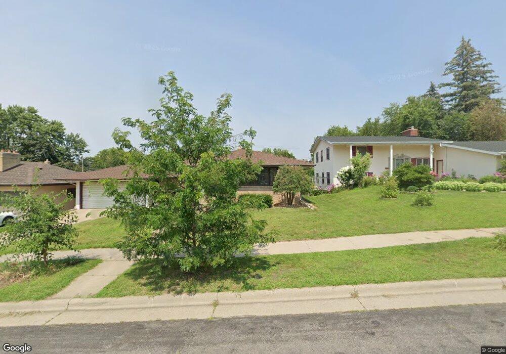
1631 Wilson Ave Saint Paul, MN 55106
Battle Creek NeighborhoodEstimated Value: $259,000 - $315,000
3
Beds
2
Baths
626
Sq Ft
$466/Sq Ft
Est. Value
About This Home
This home is located at 1631 Wilson Ave, Saint Paul, MN 55106 and is currently estimated at $291,489, approximately $465 per square foot. 1631 Wilson Ave is a home located in Ramsey County with nearby schools including Battle Creek Elementary School, Battle Creek Middle School, and Harding Senior High School.
Ownership History
Date
Name
Owned For
Owner Type
Purchase Details
Closed on
Sep 7, 2022
Sold by
Tong Xiong Mai
Bought by
Xiong Chee
Current Estimated Value
Home Financials for this Owner
Home Financials are based on the most recent Mortgage that was taken out on this home.
Original Mortgage
$139,000
Outstanding Balance
$132,851
Interest Rate
5.3%
Mortgage Type
New Conventional
Estimated Equity
$158,638
Purchase Details
Closed on
Oct 9, 2020
Sold by
Xiong Mai Tong
Bought by
Xiong Mai Tong and Xiong Chee
Home Financials for this Owner
Home Financials are based on the most recent Mortgage that was taken out on this home.
Original Mortgage
$113,800
Interest Rate
2.8%
Mortgage Type
New Conventional
Purchase Details
Closed on
Jun 27, 2002
Sold by
Xiong Timothy Pao and Lee Pajzao
Bought by
Xiong Charz Sang and Yang Bee
Purchase Details
Closed on
Oct 24, 1996
Sold by
Celski Francis P and Celski Karen L
Bought by
Xiong Pao T and Pa Rao Lee
Create a Home Valuation Report for This Property
The Home Valuation Report is an in-depth analysis detailing your home's value as well as a comparison with similar homes in the area
Home Values in the Area
Average Home Value in this Area
Purchase History
| Date | Buyer | Sale Price | Title Company |
|---|---|---|---|
| Xiong Chee | $3,000 | Land Title | |
| Xiong Mai Tong | -- | Solidifi | |
| Xiong Charz Sang | $170,000 | -- | |
| Xiong Pao T | $95,000 | -- |
Source: Public Records
Mortgage History
| Date | Status | Borrower | Loan Amount |
|---|---|---|---|
| Open | Xiong Chee | $139,000 | |
| Previous Owner | Xiong Mai Tong | $113,800 |
Source: Public Records
Tax History
| Year | Tax Paid | Tax Assessment Tax Assessment Total Assessment is a certain percentage of the fair market value that is determined by local assessors to be the total taxable value of land and additions on the property. | Land | Improvement |
|---|---|---|---|---|
| 2025 | $3,786 | $301,800 | $58,900 | $242,900 |
| 2023 | $3,786 | $253,300 | $36,600 | $216,700 |
| 2022 | $3,492 | $274,500 | $36,600 | $237,900 |
| 2021 | $3,082 | $227,700 | $36,600 | $191,100 |
| 2020 | $3,286 | $210,300 | $36,600 | $173,700 |
| 2019 | $2,758 | $209,100 | $36,600 | $172,500 |
| 2018 | $2,418 | $177,100 | $36,600 | $140,500 |
| 2017 | $2,416 | $162,900 | $36,600 | $126,300 |
| 2016 | $2,122 | $0 | $0 | $0 |
| 2015 | $2,046 | $146,100 | $36,600 | $109,500 |
| 2014 | $1,946 | $0 | $0 | $0 |
Source: Public Records
Map
Nearby Homes
- TBD Kennard St
- 1610 Fremont Ave
- 1685 Fremont Ave E
- 1596 Mclean Ave
- 1651 4th St E
- 442 White Bear Ave N
- 1711 4th St E
- 597 Flandrau St
- 1641 Leone Ave
- 1660 Beech St
- 1883 Garden Way
- 1704 Beech St
- 309 Etna St
- 1715 Louise Ave
- 1497 Margaret St
- 1885 3rd St E
- 531 Hazel St N
- 1708 Minnehaha Ave E
- 1333 Pacific St
- 1373 5th St E
- 1635 Wilson Ave
- 1627 Wilson Ave
- 1621 Wilson Ave
- 1637 Wilson Ave
- 1620 Euclid St
- 1616 Euclid St
- 1630 Euclid St
- 1624 Euclid St
- 1617 Wilson Ave
- 1626 Wilson Ave
- 1628 Wilson Ave
- 1643 Wilson Ave
- 1636 Euclid St
- 1636 1636 Euclid-Street-
- 1624 Wilson Ave
- 1632 Wilson Ave
- 1622 Wilson Ave
- 1611 Wilson Ave
- 1618 1618 Wilson-Avenue-
- 1638 Wilson Ave
Your Personal Tour Guide
Ask me questions while you tour the home.