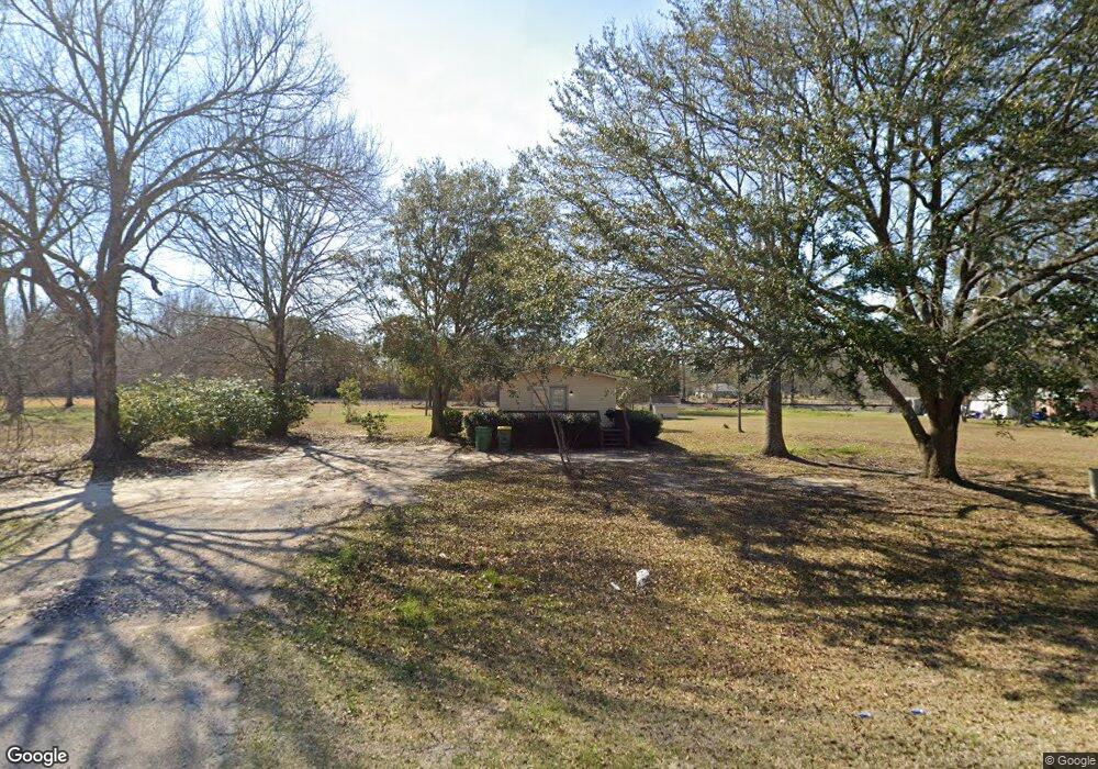
16313 Highway 613 Moss Point, MS 39562
Estimated Value: $96,121 - $258,000
--
Bed
1
Bath
861
Sq Ft
$197/Sq Ft
Est. Value
About This Home
This home is located at 16313 Highway 613, Moss Point, MS 39562 and is currently estimated at $169,780, approximately $197 per square foot. 16313 Highway 613 is a home located in Jackson County with nearby schools including East Central Lower Elementary School, East Central Upper Elementary School, and East Central Middle School.
Ownership History
Date
Name
Owned For
Owner Type
Purchase Details
Closed on
Aug 22, 2024
Sold by
Whittington David E and Whittington Darlene S
Bought by
Currie Nicholas
Current Estimated Value
Home Financials for this Owner
Home Financials are based on the most recent Mortgage that was taken out on this home.
Original Mortgage
$136,800
Outstanding Balance
$135,222
Interest Rate
6.77%
Mortgage Type
New Conventional
Estimated Equity
$34,558
Create a Home Valuation Report for This Property
The Home Valuation Report is an in-depth analysis detailing your home's value as well as a comparison with similar homes in the area
Home Values in the Area
Average Home Value in this Area
Purchase History
| Date | Buyer | Sale Price | Title Company |
|---|---|---|---|
| Currie Nicholas | -- | Pilger Title | |
| Currie Nicholas | -- | Pilger Title |
Source: Public Records
Mortgage History
| Date | Status | Borrower | Loan Amount |
|---|---|---|---|
| Open | Currie Nicholas | $136,800 | |
| Closed | Currie Nicholas | $136,800 |
Source: Public Records
Tax History Compared to Growth
Tax History
| Year | Tax Paid | Tax Assessment Tax Assessment Total Assessment is a certain percentage of the fair market value that is determined by local assessors to be the total taxable value of land and additions on the property. | Land | Improvement |
|---|---|---|---|---|
| 2024 | $590 | $4,914 | $630 | $4,284 |
| 2023 | $590 | $4,914 | $630 | $4,284 |
| 2022 | $573 | $4,913 | $0 | $0 |
| 2021 | $578 | $4,962 | $0 | $0 |
| 2020 | $545 | $4,510 | $584 | $3,926 |
| 2019 | $539 | $4,510 | $584 | $3,926 |
| 2018 | $549 | $4,510 | $584 | $3,926 |
| 2017 | $559 | $4,510 | $584 | $3,926 |
| 2016 | $537 | $4,510 | $584 | $3,926 |
| 2015 | $497 | $27,720 | $3,890 | $23,830 |
| 2014 | $489 | $4,159 | $584 | $3,575 |
| 2013 | $550 | $4,843 | $584 | $4,259 |
Source: Public Records
Map
Nearby Homes
- 7605 Methodist Church Rd
- 0 R B Dickerson Rd
- 27 Acres Brinkman Rd E
- 17500 Goff Farm Rd
- 0 Ms-613 Hwy Unit 4116583
- 0 Ms-613 Hwy Unit 4107607
- 0 Ms-613 Hwy Unit 4107612
- 0 Ms-613 Hwy Unit 4116582
- 8200 Butler Rd
- -0- Rayford Shumock Rd
- 18517 Goff Farm Rd
- 0 Rayford Shumock Rd Unit 24406728
- 0 Rayford Shumock Rd Unit 4121875
- 01 Dap Rd E
- 0 Dap Rd E
- 7805 Songbird Ln
- 14416 Lily Orchard Rd
- 8537 Augusta Rd
- 0 Dunn Unit 4117818
- 13109 Oak Haven Dr
- 16437 Highway 613
- 16301 Highway 613
- 7521 Horace Shumock Rd
- 16310 Highway 613
- 16308 Highway 613
- 16500 Highway 613
- 16417 Honeysuckle Rd
- 16320 Honeysuckle Rd
- 16316 Honeysuckle Rd
- 0 Horace Shumock
- 16308 Honeysuckle Rd
- 16237 Highway 613
- 7500 Big Point Rd
- 7809 Murrays Nursery Rd
- 7707 Community House Rd
- 7437 Big Point Rd
- 16026 Highway 613
- 7424 Horace Shumock Rd
- 7444 Big Point Rd
- 7812 Murrays Nursery Rd