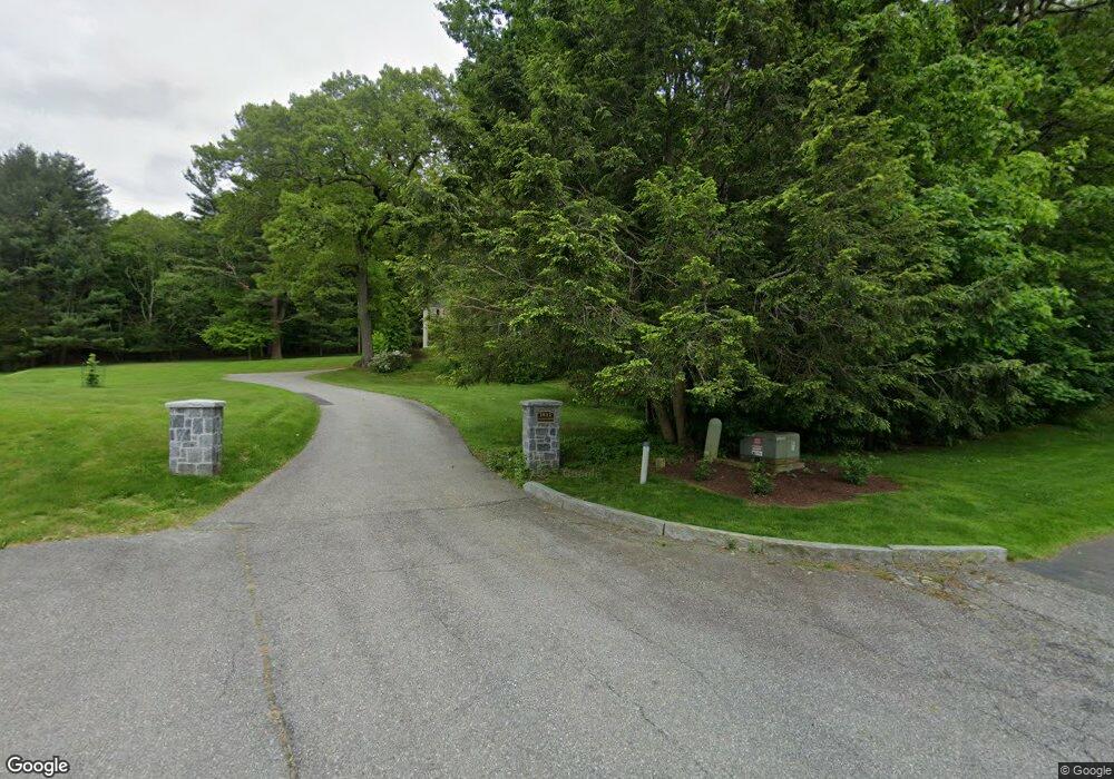
1632 Canton Ave Milton, MA 02186
Estimated Value: $1,932,000 - $3,056,000
5
Beds
5
Baths
4,310
Sq Ft
$558/Sq Ft
Est. Value
About This Home
This home is located at 1632 Canton Ave, Milton, MA 02186 and is currently estimated at $2,403,902, approximately $557 per square foot. 1632 Canton Ave is a home located in Norfolk County with nearby schools including Milton High School, Boston Renaissance Charter Public School, and Academy of the Pacific Rim Charter Public School.
Ownership History
Date
Name
Owned For
Owner Type
Purchase Details
Closed on
Apr 23, 2020
Sold by
Smith J Hale J and Smith Linda T
Bought by
Smith Ft
Current Estimated Value
Purchase Details
Closed on
Jan 31, 1979
Bought by
Smith J Hale and Tucker-Smith Linda
Create a Home Valuation Report for This Property
The Home Valuation Report is an in-depth analysis detailing your home's value as well as a comparison with similar homes in the area
Purchase History
| Date | Buyer | Sale Price | Title Company |
|---|---|---|---|
| Smith Ft | -- | None Available | |
| Smith J Hale | -- | -- |
Source: Public Records
Mortgage History
| Date | Status | Borrower | Loan Amount |
|---|---|---|---|
| Previous Owner | Smith J Hale | $60,000 | |
| Previous Owner | Smith J Hale | $70,000 |
Source: Public Records
Tax History
| Year | Tax Paid | Tax Assessment Tax Assessment Total Assessment is a certain percentage of the fair market value that is determined by local assessors to be the total taxable value of land and additions on the property. | Land | Improvement |
|---|---|---|---|---|
| 2025 | $23,413 | $2,111,200 | $685,400 | $1,425,800 |
| 2024 | $22,716 | $2,080,200 | $654,400 | $1,425,800 |
| 2023 | $21,913 | $1,922,200 | $624,200 | $1,298,000 |
| 2022 | $20,375 | $1,633,900 | $624,200 | $1,009,700 |
| 2021 | $20,584 | $1,567,700 | $606,100 | $961,600 |
| 2020 | $20,361 | $1,551,900 | $606,800 | $945,100 |
| 2019 | $19,858 | $1,506,700 | $589,200 | $917,500 |
| 2018 | $20,368 | $1,474,900 | $578,300 | $896,600 |
| 2017 | $19,071 | $1,406,400 | $550,700 | $855,700 |
| 2016 | $20,767 | $1,538,300 | $607,700 | $930,600 |
| 2015 | $19,389 | $1,390,900 | $510,800 | $880,100 |
Source: Public Records
Map
Nearby Homes
- 1386 Canton Ave
- 241 Neponset Valley Pkwy Unit 241
- 2204 Davenport Ave Unit 2204
- 15 Yuill Cir Unit 2
- 24 Prescott St Unit 3
- 10 Van Brunt St
- 86 Durham Rd
- 88 Durham Rd
- 610 Harland St
- 2 Leominster Rd
- 51 Lancaster Rd
- 7 Preacher Rd
- 200 Robbins St
- 397 Sprague St
- 44 Holmes Rd
- 391 Sprague St
- 350 Blue Hill Ave
- 4 Farmer Rd
- 5 Kinsale Ln
- 12 Norton St
- 10 Carberry Ln
- 10 Carberry Ln
- 7 Carberry Ln
- 8 Carberry Ln
- 19 Wolcott Woods Ln Unit 19
- 21 Wolcott Woods Ln Unit 21
- 1640 Canton Ave
- 17 Wolcott Woods Ln Unit 17
- 15 Wolcott Woods Ln Unit 15
- 23 Wolcott Woods Ln Unit 23
- 25 Wolcott Woods Ln Unit 25
- 5 Carberry Ln
- 6 Carberry Ln
- 27 Wolcott Woods Ln Unit 27
- 29 Wolcott Woods Ln Unit 29
- 1656 Canton Ave
- 3 Carberry Ln
- 31 Wolcott Woods Ln Unit 31
- 77 Wolcott Woods Ln Unit 77
- 77 Wolcott Woods Ln Unit 8
Your Personal Tour Guide
Ask me questions while you tour the home.