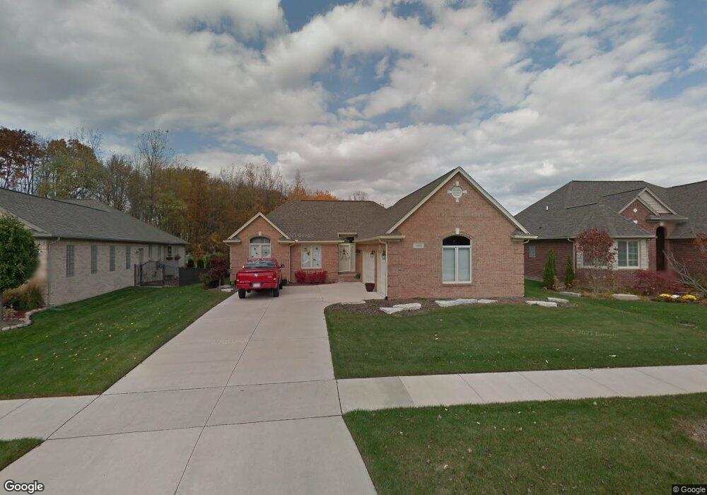
16323 Moore Park Rd Macomb, MI 48044
Estimated Value: $396,915 - $531,000
Studio
2
Baths
1,624
Sq Ft
$296/Sq Ft
Est. Value
About This Home
This home is located at 16323 Moore Park Rd, Macomb, MI 48044 and is currently estimated at $480,729, approximately $296 per square foot. 16323 Moore Park Rd is a home located in Macomb County with nearby schools including Fox Elementary School, Iroquois Middle School, and Dakota High School.
Ownership History
Date
Name
Owned For
Owner Type
Purchase Details
Closed on
Oct 13, 2006
Sold by
Michaelangelo Construction Co
Bought by
Currie Robert and Currie Cara
Current Estimated Value
Purchase Details
Closed on
Mar 31, 2006
Sold by
Grand Sakwa Macomb Airport Llc
Bought by
Michaelangelo Construction Co
Create a Home Valuation Report for This Property
The Home Valuation Report is an in-depth analysis detailing your home's value as well as a comparison with similar homes in the area
Home Values in the Area
Average Home Value in this Area
Purchase History
| Date | Buyer | Sale Price | Title Company |
|---|---|---|---|
| Currie Robert | -- | Greco | |
| Michaelangelo Construction Co | -- | None Available |
Source: Public Records
Tax History
| Year | Tax Paid | Tax Assessment Tax Assessment Total Assessment is a certain percentage of the fair market value that is determined by local assessors to be the total taxable value of land and additions on the property. | Land | Improvement |
|---|---|---|---|---|
| 2025 | $3,199 | $191,500 | $0 | $0 |
| 2024 | $31 | $185,800 | $0 | $0 |
| 2023 | $2,951 | $171,600 | $0 | $0 |
| 2022 | $3,748 | $152,900 | $0 | $0 |
| 2021 | $3,641 | $144,200 | $0 | $0 |
| 2020 | $2,707 | $140,000 | $0 | $0 |
| 2019 | $3,374 | $131,500 | $0 | $0 |
| 2018 | $3,289 | $125,700 | $0 | $0 |
| 2017 | $3,239 | $119,760 | $31,000 | $88,760 |
| 2016 | $3,076 | $119,760 | $0 | $0 |
| 2015 | $2,979 | $110,740 | $0 | $0 |
| 2014 | $2,979 | $94,690 | $20,000 | $74,690 |
| 2013 | $2,147 | $94,690 | $0 | $0 |
Source: Public Records
Map
Nearby Homes
- 16089 Diamante Dr
- 16777 Trajan Ln Unit 252
- 16856 Trajan Ln Unit 248
- 16809 Trajan Ln Unit 253
- 15636 Sloane St
- 49806 Bingham Ln
- Chandler Plan at Monarch Estates
- Kirkwood Plan at Monarch Estates
- Innsbrook Loft Plan at Monarch Estates
- Marisa II Plan at Monarch Estates
- Innsbrook III Plan at Monarch Estates
- Charlotte II Plan at Monarch Estates
- Laura Plan at Monarch Estates
- Village Manor II Plan at Monarch Estates
- Galaxy Plan at Monarch Estates
- 16917 Glenhurst Dr
- 49001 Wingfield Dr
- 17662 Port Salem Dr Unit 44
- 52163 Heatherstone Ave
- 50314 Paradise Ct
- 16301 Moore Park Rd
- 16345 Moore Park Rd
- 16279 Moore Park Rd
- 16367 Moore Park Rd
- 16356 Moore Park Rd
- 16257 Moore Park Rd
- 16389 Moore Park Rd
- 16224 Moore Park Rd
- 16235 Moore Park Rd Unit Bldg-Unit
- 16235 Moore Park Rd
- 16202 Moore Park Rd
- 16411 Moore Park Rd
- 16400 Moore Park Rd
- 16297 Bishopsgate Dr
- 16249 Bishopsgate Dr
- 16321 Bishopsgate Dr
- 16213 Moore Park Rd
- 16201 Bishopsgate Dr
- 16180 Moore Park Rd
- 16422 Moore Park Rd
Your Personal Tour Guide
Ask me questions while you tour the home.